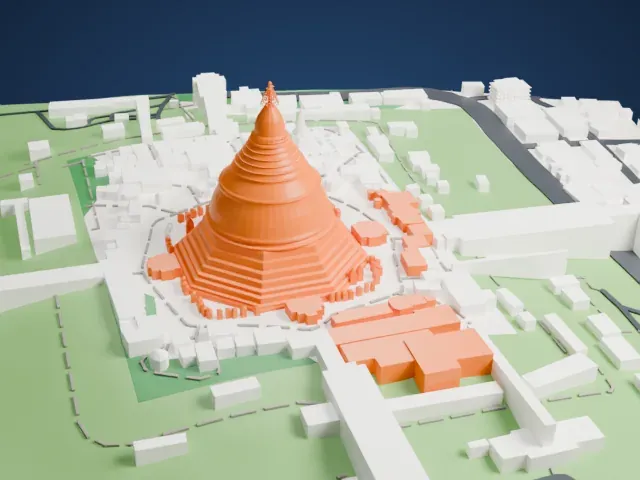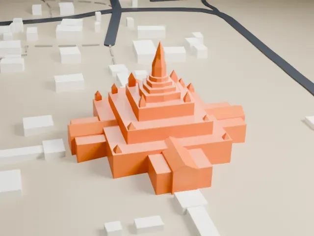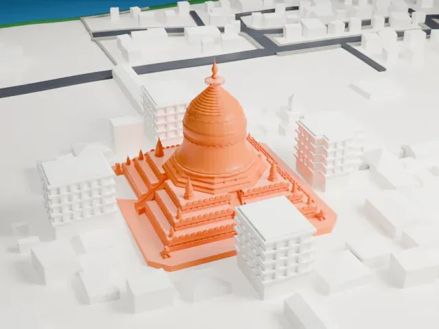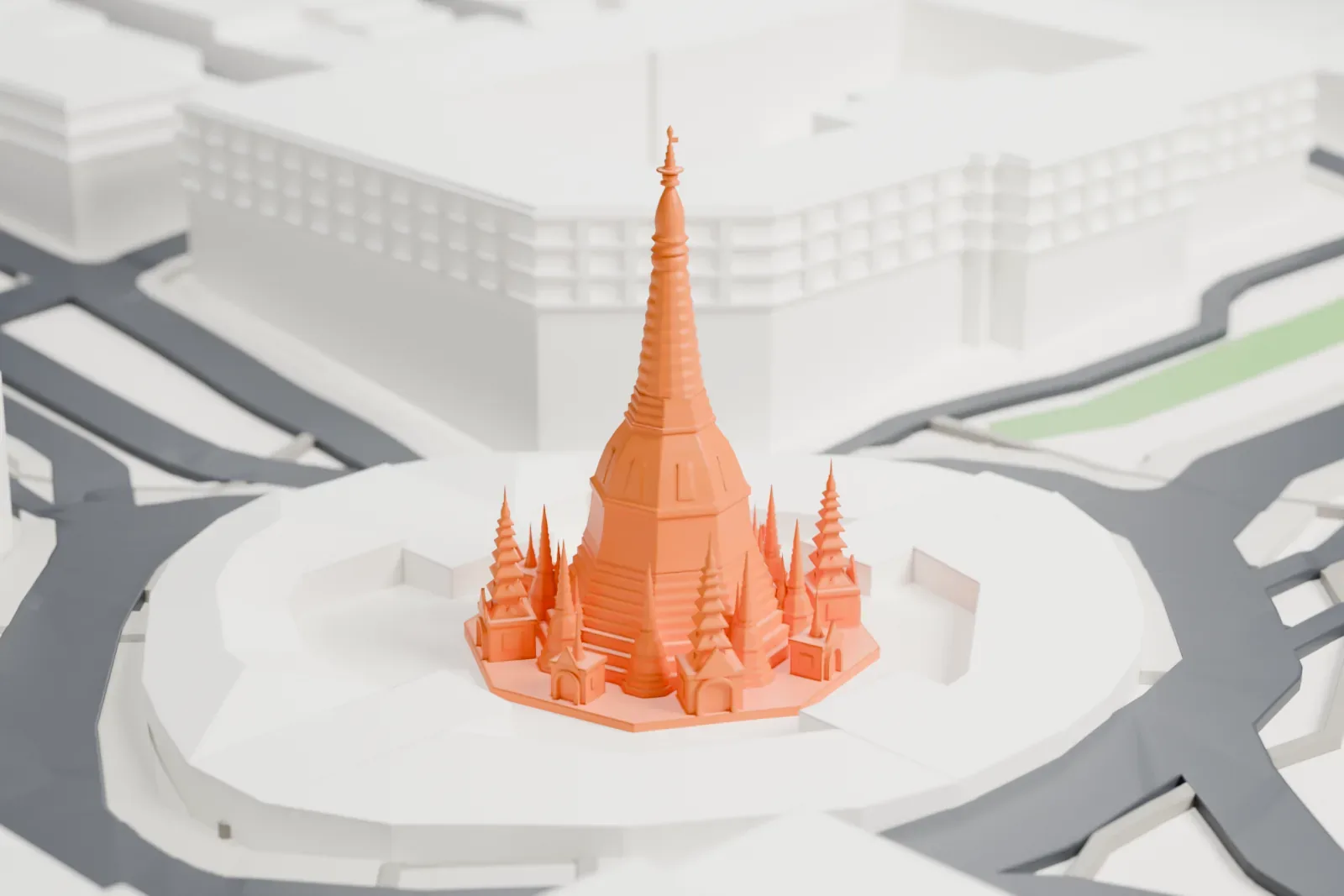
Sule Pagoda in 3D
The Sule Pagoda appears in city models you make here; its design may still be protected, so it isn't offered as a separate download.
-
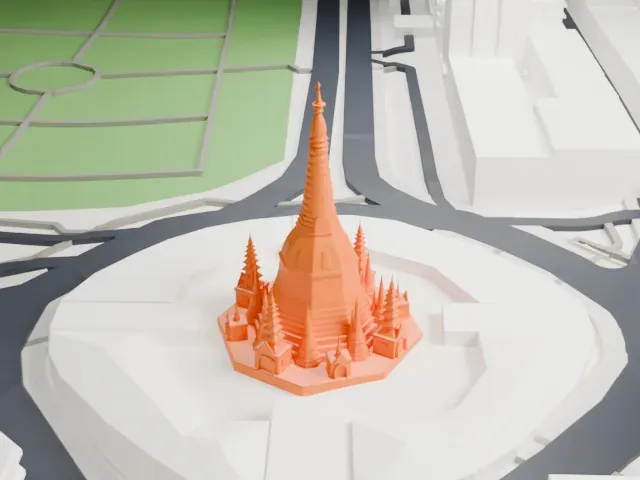 North
-
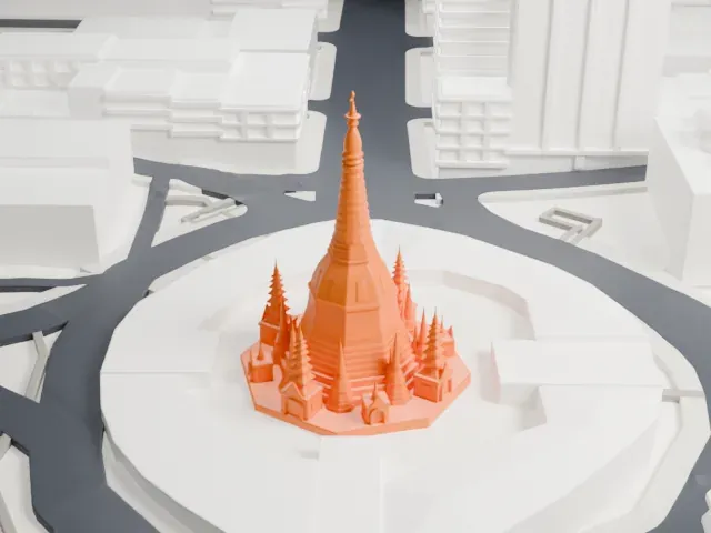 East
-
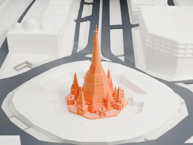 South
-
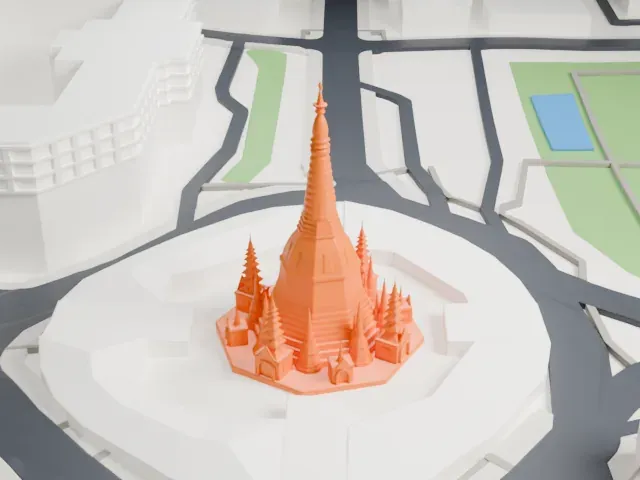 West
Copyright notice
The design of Sule Pagoda may still be protected by copyright. It appears in the city models you make here, but it is not offered as a separate model.
- Real height
- 44 m
- On a 160 mm print
- 13 mm
- Scale
- 1:3,750
44 m of the Sule Pagoda, 13 mm on your shelf
Make this print opens the generator on a 600 m square around the landmark. Buildings print at close to true scale, so the landmark grows with the print size.
- Tall spire and small stupas
The tall tapering spire and the many small spires around its base are thin. Print friendly adapts them to the print scale; Full detail keeps every one, which suits a larger print.
- Slow, cool prints for thin tips
Print slowly with good cooling so the narrow tips can harden between layers. A layer height of 0.12 mm keeps the rings of the spire crisp.
- One piece with the ground
The Sule Pagoda is joined to the ground in the exported file, and the four-side check found no floating parts, so nothing needs gluing.
- Pick the detail for your nozzle
In the Buildings settings, set Landmark detail to Print friendly to adapt thin parts and small details to the print scale. Full detail keeps every modeled feature, for larger prints or a finer nozzle.
- Colors
Buildings, roads, water and ground arrive as separate filament slots in the 3MF. The Sule Pagoda takes the building color.
- File format
You get a 3MF for Bambu Studio, OrcaSlicer or PrusaSlicer. Any of them can save it as STL if you need one.
About the Sule Pagoda
The Sule Pagoda is a Burmese Buddhist stupa in the heart of downtown Yangon, Myanmar. Legend holds that it predates the Shwedagon Pagoda and dates to the Buddha's lifetime, which would put its age above 2,600 years. Tradition says it shelters a single hair of the Buddha, which he is said to have handed personally to Trapusa and Bahalika, two merchant brothers from Burma.
The pagoda is a chedi in the Mon style with an octagonal plan, and every side measures 24 ft (7.3 m). It stands 44.133 m (144 ft 9+1⁄2 in) tall. A golden spire tops the dome and rises above the skyline. Ten bronze bells in a range of sizes and ages stand around it, and inscriptions on them record the names of the donors and the dates of dedication.
Alexander Fraser, a lieutenant in the Bengal Engineers, laid out Yangon's present street grid shortly after the British occupation in the mid-19th century, and in doing so made the pagoda the center of the city. Politically it has been central to Yangon and Myanmar: protesters gathered there in the 1988 uprisings, in the Saffron Revolution of 2007 and in the Spring Revolution of 2021. It appears on the Yangon City Heritage List.
About this model
The Sule Pagoda is one of more than 6,500 landmark models in Mini Skyline. They are made with AI, and each one is checked in its real surroundings before release. Each model is written as code from public descriptions, plans, photographs and aerial views used only as references; no image or third-party model is copied into it. Everything around it is built from OpenStreetMap and Overture map data. Rights in the building itself, its name and any brands on it are not granted by Mini Skyline; clear them separately before you sell prints. If you would rather print the shape from map data, turn off Landmark models in the Buildings settings.
Mini Skyline is not affiliated with, or endorsed by, the owners of this building or its names and marks.
Keep exploring