3D print Tōshōdai-ji
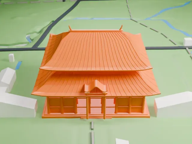
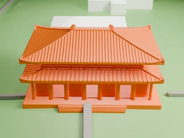
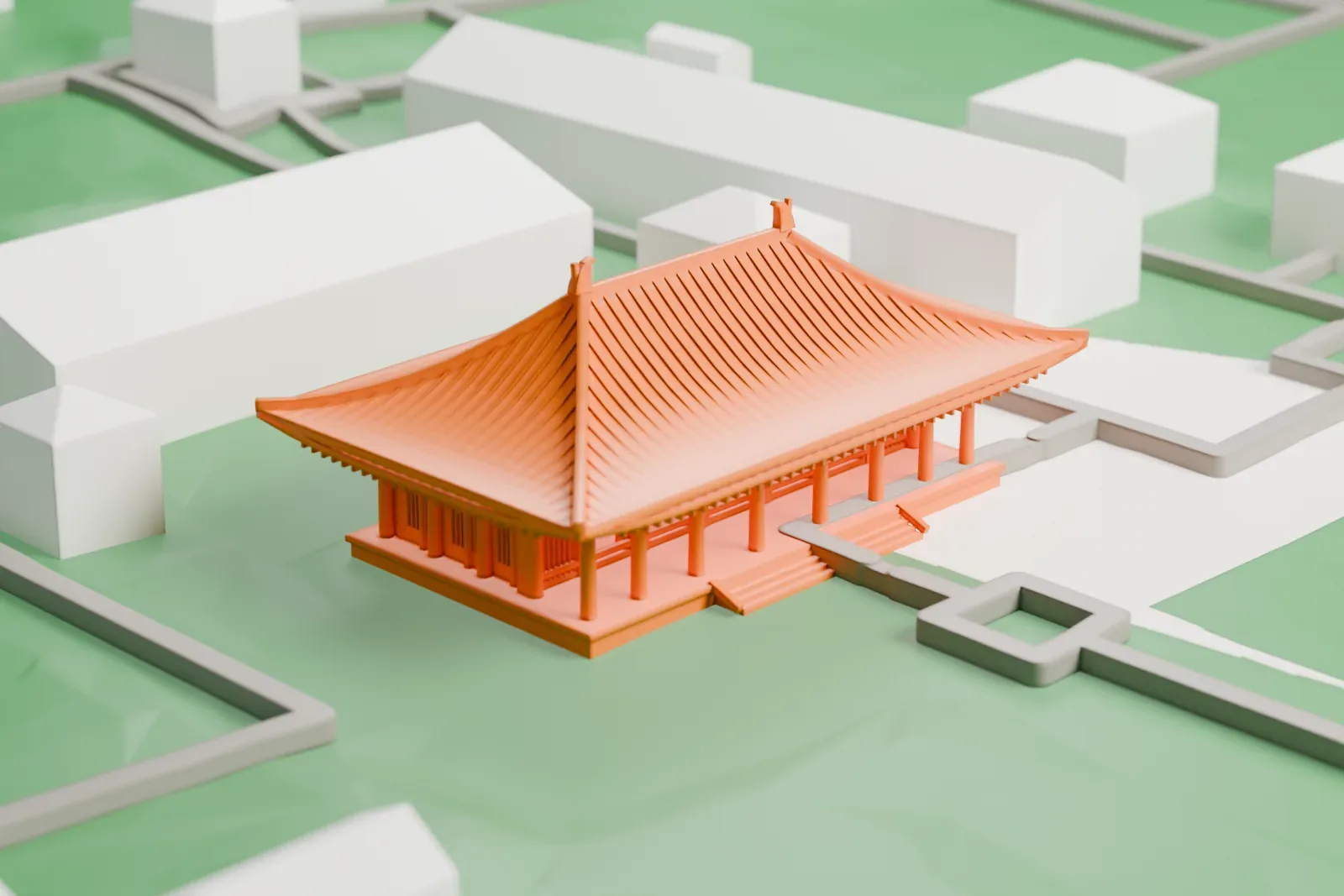
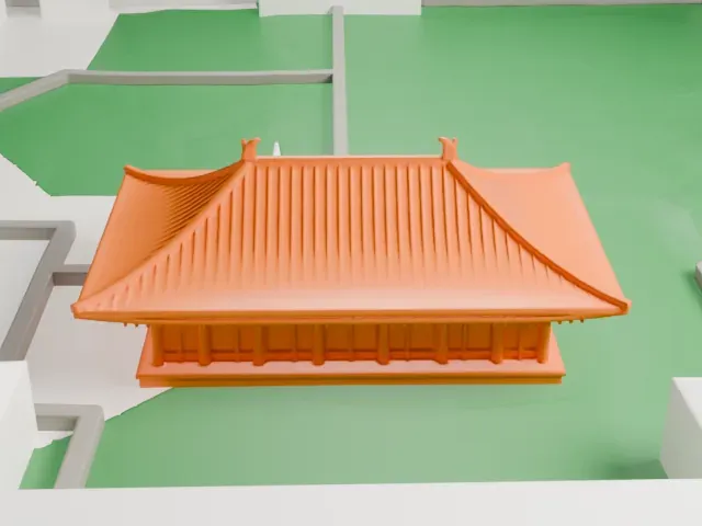
A free, printable model of Tōshōdai-ji, a single-story temple hall with a broad hipped roof and curled ridge ends, set among green grounds with a few paths, generated from real map data in your browser.
-
 North
-
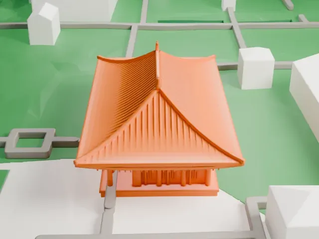 East
-
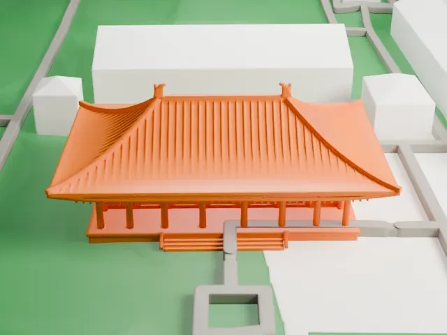 South
-
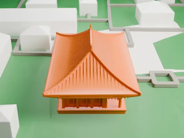 West
© OpenStreetMap contributors · Terrain in Japan: 出典:国土地理院 (GSI elevation data via Mapterhorn)
The model you print
Tōshōdai-ji in 3D
The landmark on its own, at its size on a 160 mm print. Print friendly thickens thin parts for a 0.4 mm nozzle; Full detail keeps every part.
- On a 160 mm print
- 4 mm
- Scale
- 1:3,750
4 mm tall on a 160 mm print
Make this print opens the generator on a 600 m square around the landmark. Buildings print at close to true scale, so the landmark grows with the print size.
- Sweeping hipped roof
The roof has upturned ridge ends and fine tile lines. Print friendly adapts these small parts to the print scale; Full detail keeps them on a larger print.
- Row of slim columns
The front colonnade of thin posts is delicate. A layer height of 0.12–0.16 mm and a larger print size keep them intact.
- One piece with the ground
Tōshōdai-ji is joined to the ground in the exported file, and the four-side check found no floating parts, so nothing needs gluing.
- Pick the detail for your nozzle
In the Buildings settings, set Landmark detail to Print friendly to adapt thin parts and small details to the print scale. Full detail keeps every modeled feature, for larger prints or a finer nozzle.
- Colors
Buildings, roads, water and ground arrive as separate filament slots in the 3MF. Tōshōdai-ji takes the building color.
- File format
You get a 3MF for Bambu Studio, OrcaSlicer or PrusaSlicer. Any of them can save it as STL if you need one.
About Tōshōdai-ji
Tōshōdai-ji belongs to the Risshū sect of Buddhism and stands in the city of Nara, Japan. The Chinese monk Jianzhen, who came from the Tang dynasty, founded it in 759, during the Nara period. It is part of the UNESCO site Historic Monuments of Ancient Nara, and Japan has also designated it a Historic Site.
The Golden Hall, also called the kondō, has a single story and a tiled hipped roof with a facade seven bays wide, and it is considered the archetype of the classical style. It is a National Treasure of Japan from the Nara period (710 to 794). Other National Treasures on the grounds include the Lecture Hall, the Treasure House and the Sutra Storehouse, all from the Nara period, and the Korō, rebuilt in 1240.
The World Heritage listing covers 9.1 hectares, with a buffer zone of 93.15 hectares around it. A reflection by Yan Wenjing about friendly Sino-Japanese relations describes lotus flowers from China planted around the portrait of Jianzhen at the temple, and it appears among the oral passages of the Putonghua Proficiency Test.
About this model
Tōshōdai-ji is one of more than 6,500 landmark models in Mini Skyline. They are made with AI, and each one is checked in its real surroundings before release. Each model is written as code from public descriptions, plans, photographs and aerial views used only as references; no image or third-party model is copied into it. Everything around it is built from OpenStreetMap and Overture map data. Rights in the building itself, its name and any brands on it are not granted by Mini Skyline; clear them separately before you sell prints. If you would rather print the shape from map data, turn off Landmark models in the Buildings settings.
Mini Skyline is not affiliated with, or endorsed by, the owners of this building or its names and marks.
Keep exploring