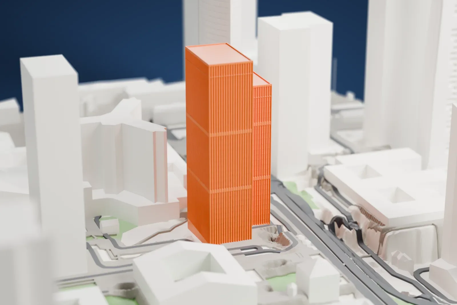
3D print the Tour Franklin
A free, printable 3D model of Tour Franklin and its surrounding streets and buildings, generated from real map data in your browser.
-
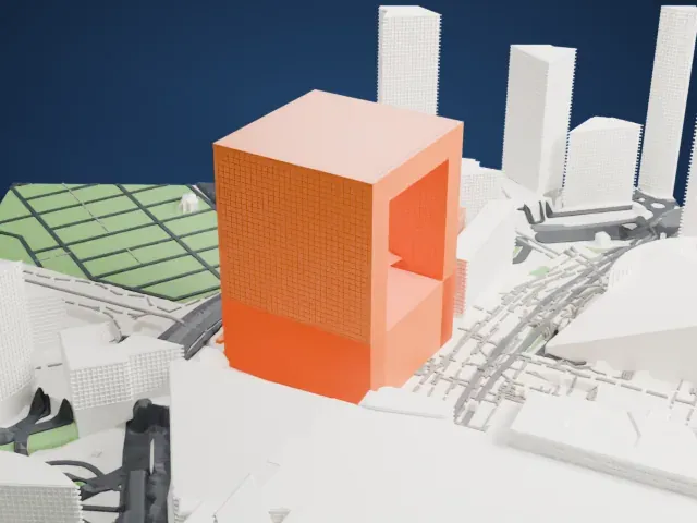
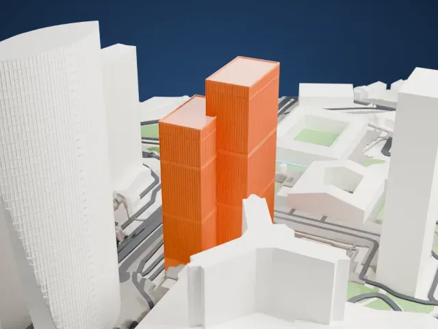 North
-
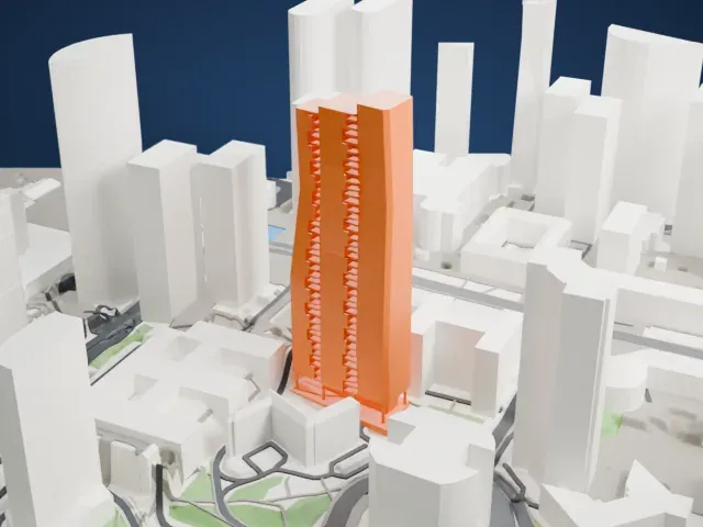
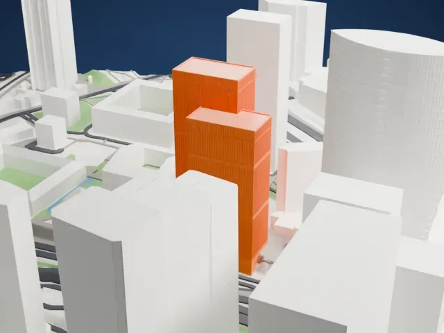 East
-
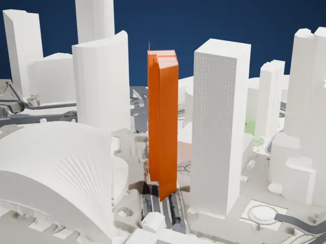
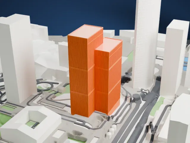 South
-
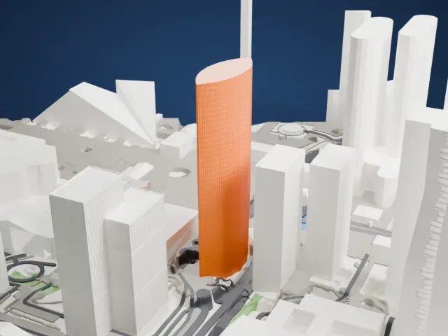
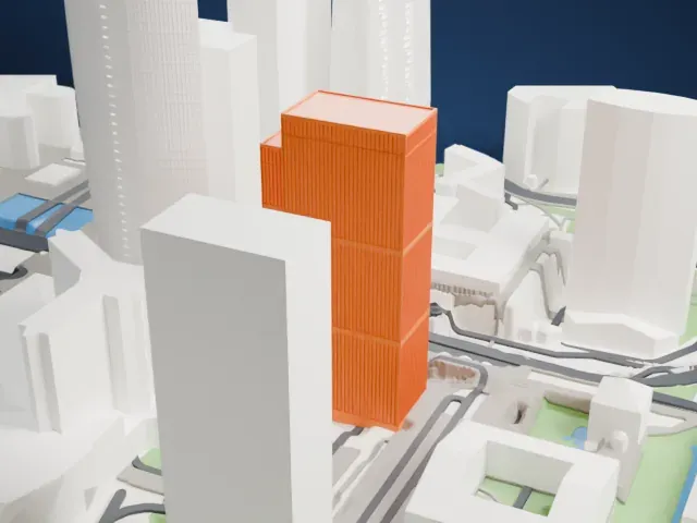 West
- Real height
- 115 m
- On a 160 mm print
- 33 mm
- Scale
- 1:3,750
115 m of the Tour Franklin, 33 mm on your shelf
Make this print opens the generator on a 600 m square around the landmark. Buildings print at close to true scale, so the landmark grows with the print size.
- Keep the tower edges crisp
This is a tall high-rise, so print it large enough that the long vertical faces stay straight. Use 0.12–0.16 mm layers and steady cooling for the upper floors.
- One piece with the ground
The Tour Franklin is joined to the ground in the exported file, and the four-side check found no floating parts, so nothing needs gluing.
- Pick the detail for your nozzle
In the Buildings settings, set Landmark detail to Print friendly to adapt thin parts and small details to the print scale. Full detail keeps every modeled feature, for larger prints or a finer nozzle.
- Colors
Buildings, roads, water and ground arrive as separate filament slots in the 3MF. The Tour Franklin takes the building color.
- File format
You get a 3MF for Bambu Studio, OrcaSlicer or PrusaSlicer. Any of them can save it as STL if you need one.
About the Tour Franklin
Tour Franklin is an office skyscraper in La Défense, the business district west of Paris in France. The tower was built in 1972 and is 114.7 m tall, part of La Défense's second generation of skyscrapers. Its design consists of a smaller tower merged into a larger one.
The building is an office tower with 33 above-ground floors, and it stands among the high-rises of La Défense, the business district west of Paris, France. The smaller and larger towers form a single office skyscraper, and the tower is grouped with the district's second generation of high-rises.
About this model
The Tour Franklin is one of more than 4,400 landmark models in Mini Skyline. They are made with AI, and each one is checked from four sides in its real surroundings before release. Everything around it is built from OpenStreetMap and Overture map data. If you would rather print the shape from map data, turn off Landmark models in the Buildings settings.
Same skyline