3D print Wat Xieng Thong
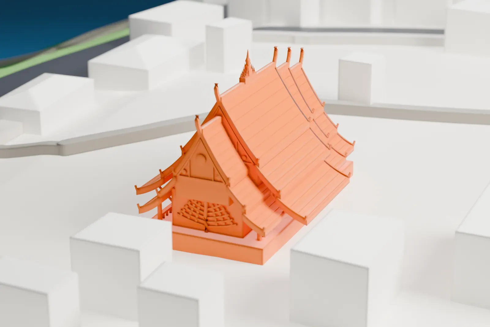
A free, printable model of Wat Xieng Thong, its tiered, sweeping roofs and low platform, with the plain buildings and streets around it, generated from real map data in your browser.
-
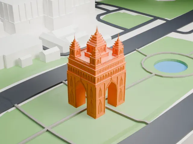
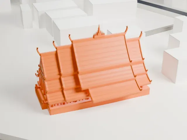 North
-
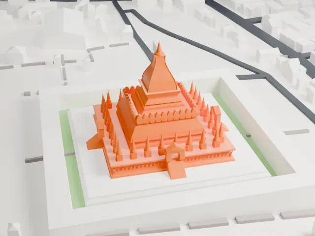
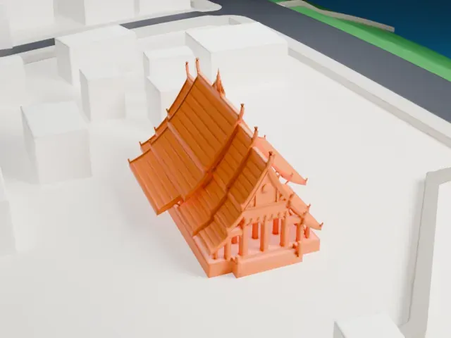 East
-
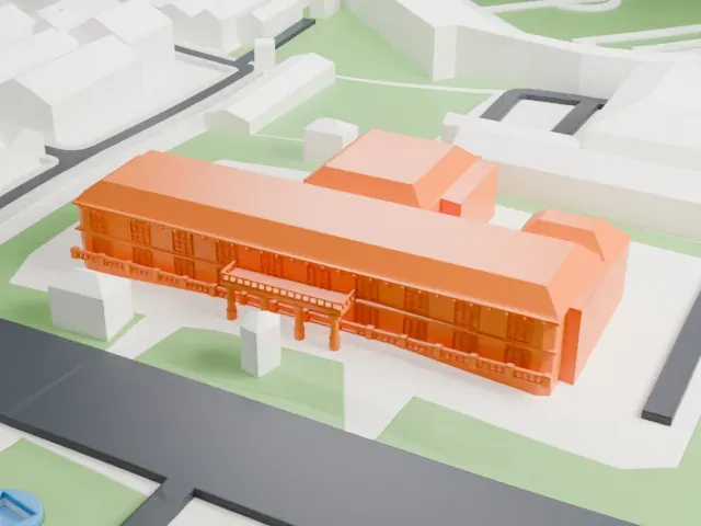
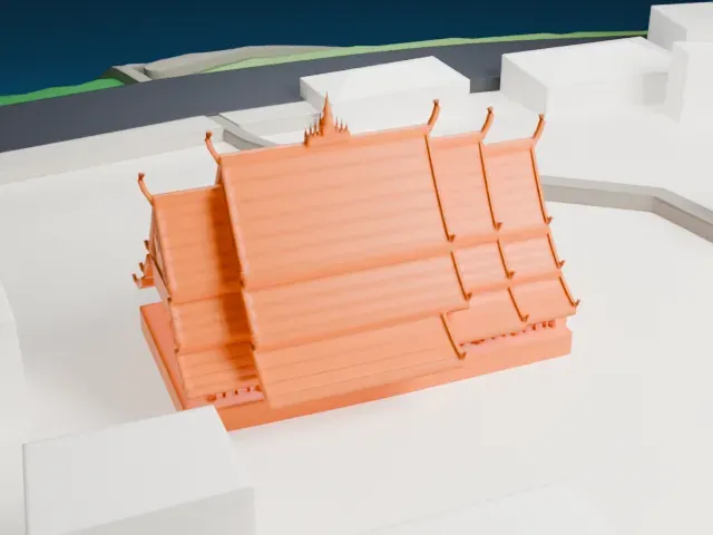 South
-
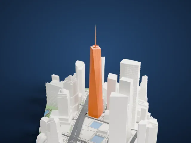
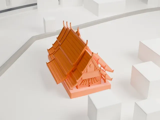 West
The model you print
Wat Xieng Thong in 3D
The landmark on its own, at its size on a 160 mm print. Print friendly thickens thin parts for a 0.4 mm nozzle; Full detail keeps every part.
- On a 160 mm print
- 4 mm
- Scale
- 1:3,750
4 mm tall on a 160 mm print
Make this print opens the generator on a 600 m square around the landmark. Buildings print at close to true scale, so the landmark grows with the print size.
- Upturned roof ends
The sweeping roofs end in thin, upturned tips and a small spire rises from the ridge. Print friendly adapts these slender parts to the print scale; Full detail keeps them for a larger print.
- Many layered roof ridges
Tier after tier of roofs carry fine parallel ridges. A bigger print size keeps more of them, and a layer height of 0.12–0.16 mm keeps their edges crisp.
- One piece with the ground
Wat Xieng Thong is joined to the ground in the exported file, and the four-side check found no floating parts, so nothing needs gluing.
- Pick the detail for your nozzle
In the Buildings settings, set Landmark detail to Print friendly to adapt thin parts and small details to the print scale. Full detail keeps every modeled feature, for larger prints or a finer nozzle.
- Colors
Buildings, roads, water and ground arrive as separate filament slots in the 3MF. Wat Xieng Thong takes the building color.
- File format
You get a 3MF for Bambu Studio, OrcaSlicer or PrusaSlicer. Any of them can save it as STL if you need one.
About Wat Xieng Thong
Wat Xieng Thong is a Buddhist temple at the northern tip of Luang Prabang's peninsula in Laos, and its name means "Temple of the Golden City." King Setthathirath had it built in 1559 and 1560. It counts among the most important Lao monasteries and is described as a significant monument to religion, royalty and traditional art.
Setthathirath ruled the Lan Xang kingdom, and he moved the capital from Xieng Thong, later renamed Luang Prabang, to Vientiane. Luang Prabang stayed a royal capital until 1975. The temple was a royal one, supported by the royal family, and it was a place for crowning kings, worship by monks and the laity, a shrine for Buddhist relics, and a library for ancient scripts.
The sim, the central shrine hall, is made of nine cascading roofs and decorated with gold stenciling. Small gold-covered pagodas called Dok So Fa run along the center of the roof, hooking upward toward the sky. A reclining Buddha sanctuary holds a rare reclining Buddha dating to the temple's construction. The Tripiṭaka library was added in 1880 and the drum tower in 1961, and the temple escaped damage when the city was sacked in 1887.
About this model
Wat Xieng Thong is one of more than 6,500 landmark models in Mini Skyline. They are made with AI, and each one is checked in its real surroundings before release. Each model is written as code from public descriptions, plans, photographs and aerial views used only as references; no image or third-party model is copied into it. Everything around it is built from OpenStreetMap and Overture map data. Rights in the building itself, its name and any brands on it are not granted by Mini Skyline; clear them separately before you sell prints. If you would rather print the shape from map data, turn off Landmark models in the Buildings settings.
Mini Skyline is not affiliated with, or endorsed by, the owners of this building or its names and marks.
Keep exploring