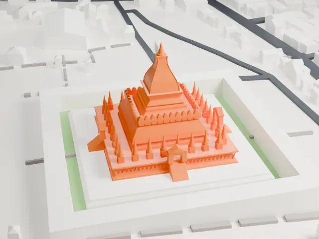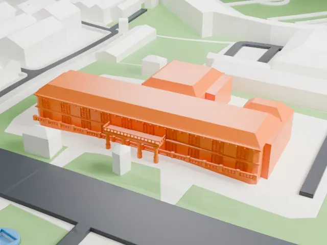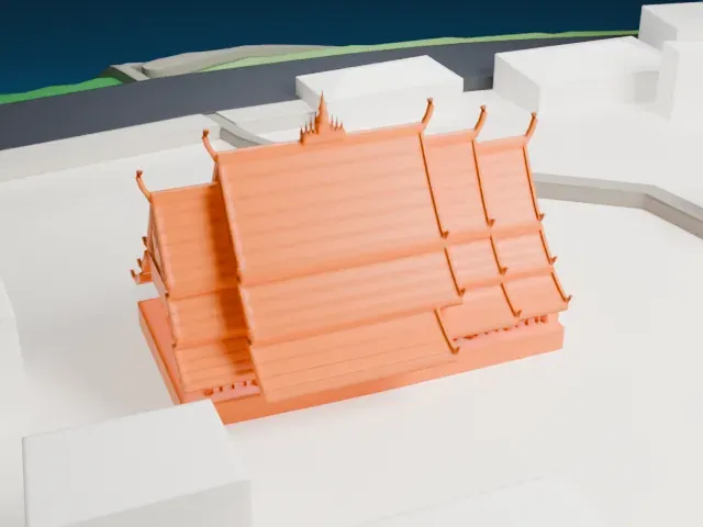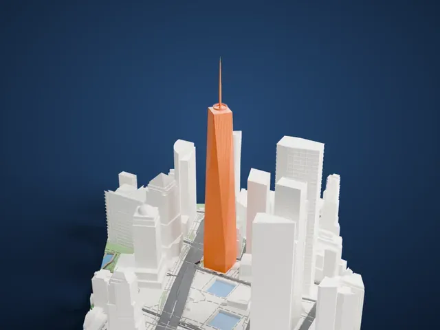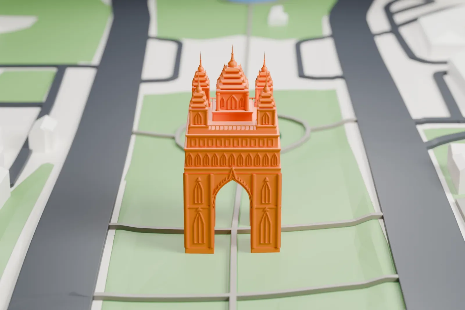
Patuxai in 3D
Patuxai appears in city models you make here; its design may still be protected, so it isn't offered as a separate download.
-
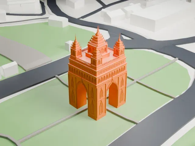 North
-
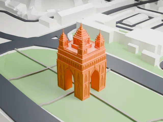 East
-
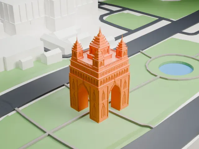 South
-
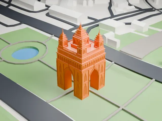 West
Copyright notice
The design of Patuxai may still be protected by copyright. It appears in the city models you make here, but it is not offered as a separate model.
- On a 160 mm print
- 13 mm
- Scale
- 1:3,750
13 mm tall on a 160 mm print
Make this print opens the generator on a 600 m square around the landmark. Buildings print at close to true scale, so the landmark grows with the print size.
- Five slender spires
Each of the four corner towers and the taller central tower ends in a thin, stepped spire. Print the top slowly with good cooling, and use a 0.12 mm layer height to keep the points crisp.
- Pointed niches and arches
The tall pointed niches on the legs and the rows of small arches under the roofline are fine details. Use Full detail on a larger print, or Print friendly to adapt them to the print scale.
- One piece with the ground
Patuxai is joined to the ground in the exported file, and the four-side check found no floating parts, so nothing needs gluing.
- Pick the detail for your nozzle
In the Buildings settings, set Landmark detail to Print friendly to adapt thin parts and small details to the print scale. Full detail keeps every modeled feature, for larger prints or a finer nozzle.
- Colors
Buildings, roads, water and ground arrive as separate filament slots in the 3MF. Patuxai takes the building color.
- File format
You get a 3MF for Bambu Studio, OrcaSlicer or PrusaSlicer. Any of them can save it as STL if you need one.
About Patuxai
Patuxai, which means Victory Gate or Gate of Triumph, is a war monument standing in the center of Vientiane, Laos, built from 1957 to 1968. Its dedication is to the people who fought for independence from France. Lane Xang Avenue ends at the monument, and Patuxay Park surrounds it. Its likeness to the Arc de Triomphe in Paris gives it another name, the Arc de Triomphe of Vientiane, yet its design is Laotian and it is decorated with mythological creatures.
The monument was designed by Tham Sayasthsena, a Laotian soldier who had worked as a journalist and taught himself sculpture, whose plans were selected in 1957. The United States supplied the funds and cement, having wanted Laos to build an airbase. Because the Royal Lao Government built a monument instead, it earned the nickname of the vertical runway.
Its five towers stand for five principles of coexistence between the world's nations. Gateways open on all four sides, facing the cardinal directions, and the east and west gateways open onto Lane Xang Avenue, which is used for ceremonial national parades. Two staircases wind up inside the structure past viewing galleries and a museum floor, up to a viewing platform at the top.
About this model
Patuxai is one of more than 6,500 landmark models in Mini Skyline. They are made with AI, and each one is checked in its real surroundings before release. Each model is written as code from public descriptions, plans, photographs and aerial views used only as references; no image or third-party model is copied into it. Everything around it is built from OpenStreetMap and Overture map data. Rights in the building itself, its name and any brands on it are not granted by Mini Skyline; clear them separately before you sell prints. If you would rather print the shape from map data, turn off Landmark models in the Buildings settings.
Mini Skyline is not affiliated with, or endorsed by, the owners of this building or its names and marks.
Keep exploring