3D print the Chang'e 5 landing site and Mons Rümker
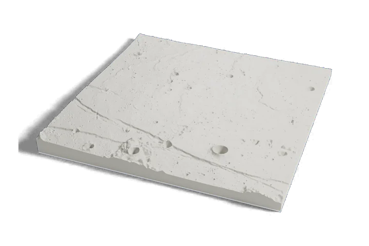
The place China brought Moon rock home from, on one print: the lava plain where China's Chang'e 5 landed and the volcanic hills of Mons Rümker to its southwest, from elevation data measured by lunar orbiters.
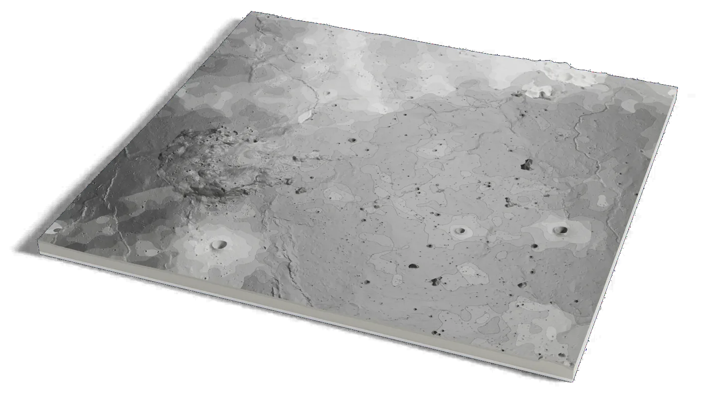
Moon terrain: USGS Astrogeology; NASA LRO LOLA; JAXA SELENE/Kaguya. Surface imagery: LRO LROC WAC mosaic, NASA/GSFC/Arizona State University.
Where it is 43.06°N 51.92°W The Moon · near side
- Landing
- December 1, 2020, 15:11 UTC
- Site name
- Statio Tianchuan
- Mons Rümker
- A volcanic complex about 73 km (45 mi) across
- Operator
- CNSA, China
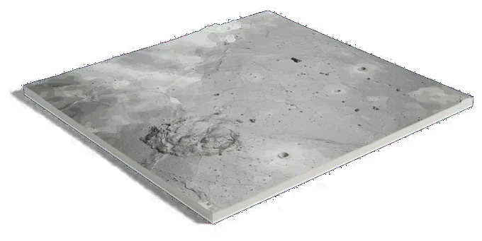
Moon terrain: USGS Astrogeology; NASA LRO LOLA; JAXA SELENE/Kaguya. Surface imagery: LRO LROC WAC mosaic, NASA/GSFC/Arizona State University.
266 by 250 km of the Moon, 160 mm across
About Chang'e 5 and Mons Rümker
China's Chang'e 5 landed on December 1, 2020, at 15:11 UTC on a flat plain of mare basalt in Oceanus Procellarum, to collect Moon rock and return it to Earth. LROC measured the lander's position as 43.06°N, 51.92°W.
About 160 km (100 mi) to its southwest rises Mons Rümker, a volcanic complex about 73 km (45 mi) across. The IAU named the landing site Statio Tianchuan, a Chinese constellation name meaning a ship sailing in the Milky Way.
Sources: IAU Gazetteer of Planetary Nomenclature: Statio Tianchuan, IAU Gazetteer of Planetary Nomenclature: Mons Rümker, LROC: First look, Chang'e 5, NASA SSERVI: Chang'e 5 landing site
Elsewhere on the Moon
All worlds-
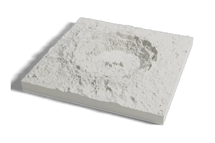 Crater
Copernicus crater
-
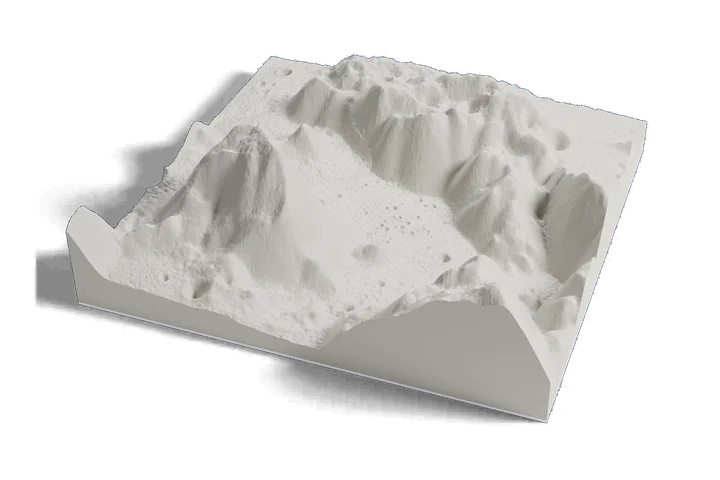 Landing site · Apollo 17, 1972
Taurus-Littrow valley
-
 Landing site · Apollo 11, 1969
Tranquility Base
Moon terrain: USGS Astrogeology; NASA LRO LOLA; JAXA SELENE/Kaguya. Surface imagery: LRO LROC WAC mosaic, NASA/GSFC/Arizona State University.