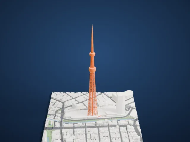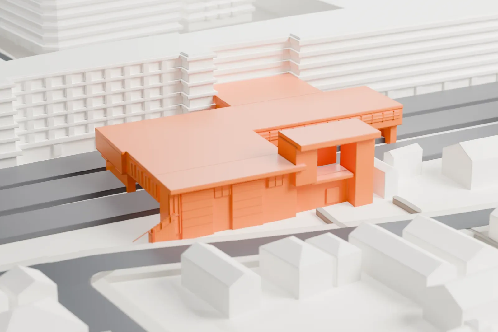
Ashiya Station (JR West) in 3D
Ashiya Station (JR West) appears in city models you make here; its design may still be protected, so it isn't offered as a separate download.
-
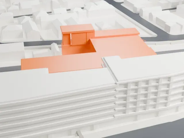 North
-
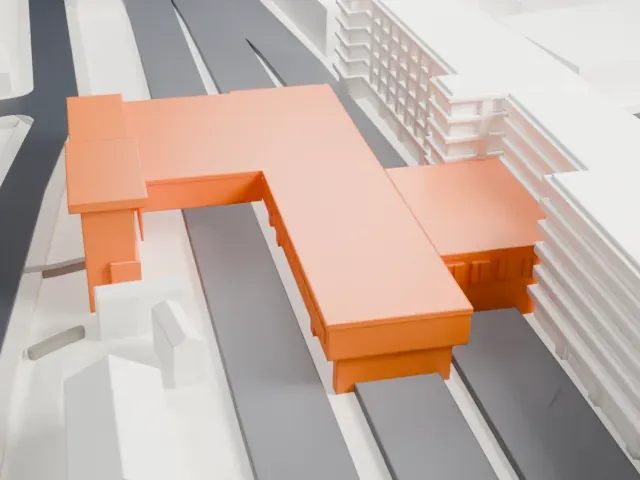 East
-
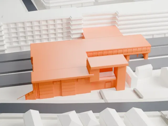 South
-
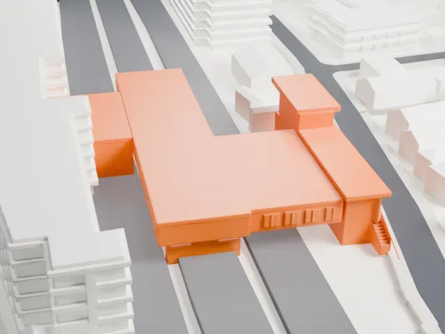 West
© OpenStreetMap contributors · Terrain in Japan: 出典:国土地理院 (GSI elevation data via Mapterhorn)
Copyright notice
The design of Ashiya Station (JR West) may still be protected by copyright. It appears in the city models you make here, but it is not offered as a separate model.
- On a 160 mm print
- 5 mm
- Scale
- 1:3,750
5 mm tall on a 160 mm print
Make this print opens the generator on a 600 m square around the landmark. Buildings print at close to true scale, so the landmark grows with the print size.
- A building bridging the tracks
The station building spans the track corridor on short columns and slabs. Print friendly keeps these supports sturdy at small sizes; a bigger print or Full detail keeps their finer features.
- Flat roofs with small blocks
Low flat roofs carry a few small rooftop blocks and steps. Layers of 0.12-0.16 mm keep their edges crisp, and a larger print size keeps them separate from the roof.
- One piece with the ground
Ashiya Station (JR West) is joined to the ground in the exported file, and the four-side check found no floating parts, so nothing needs gluing.
- Pick the detail for your nozzle
In the Buildings settings, set Landmark detail to Print friendly to adapt thin parts and small details to the print scale. Full detail keeps every modeled feature, for larger prints or a finer nozzle.
- Colors
Buildings, roads, water and ground arrive as separate filament slots in the 3MF. Ashiya Station (JR West) takes the building color.
- File format
You get a 3MF for Bambu Studio, OrcaSlicer or PrusaSlicer. Any of them can save it as STL if you need one.
About Ashiya Station (JR West)
Ashiya Station is a passenger railway station in Ashiya, a city in Hyōgo Prefecture, Japan, run by JR West (the West Japan Railway Company). The Tōkaidō Main Line, known as the JR Kobe Line, serves it, and the station lies 575.6 kilometers from the line's Tokyo terminus and 19.2 kilometers from Osaka. Every JR Kobe Line commuter train stops here, and the station is where local trains meet rapid and special rapid services.
Two ground-level island platforms serve six tracks, and an elevated station building connects them. Tracks 1 and 6, the outer main lines, carry limited express and freight trains and have no platforms. A staffed ticket office, the Midori no Madoguchi, is on site, and the station building also holds a Daimaru Ashiya store in the urban center of Ashiya. Ashiya Station opened on August 1, 1913. On April 1, 1987, when Japan National Railways (JNR) was privatized, the station passed to the West Japan Railway Company. In March 2018 the station received its station number, JR-A54.
About this model
Ashiya Station (JR West) is one of more than 6,500 landmark models in Mini Skyline. They are made with AI, and each one is checked in its real surroundings before release. Each model is written as code from public descriptions, plans, photographs and aerial views used only as references; no image or third-party model is copied into it. Everything around it is built from OpenStreetMap and Overture map data. Rights in the building itself, its name and any brands on it are not granted by Mini Skyline; clear them separately before you sell prints. If you would rather print the shape from map data, turn off Landmark models in the Buildings settings.
Mini Skyline is not affiliated with, or endorsed by, the owners of this building or its names and marks.
Keep exploring