3D print Bordeaux-Saint-Jean station
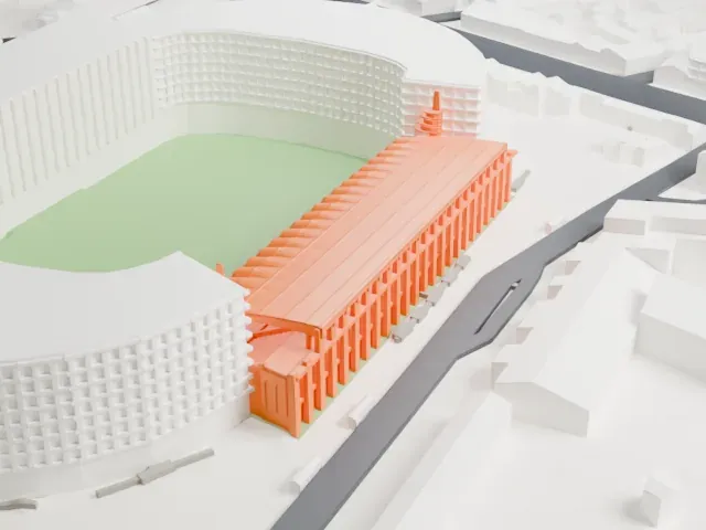
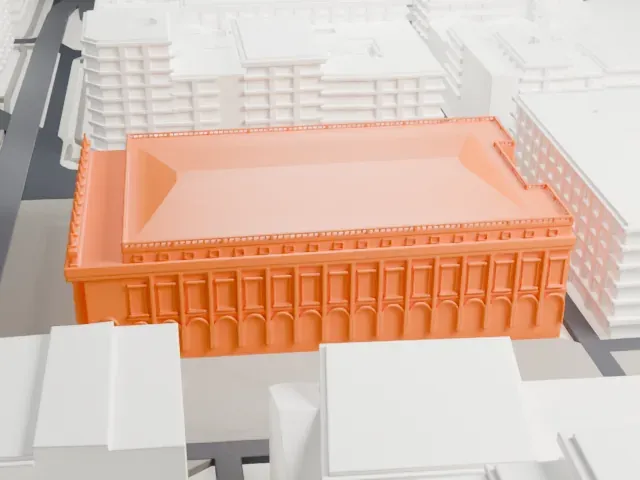
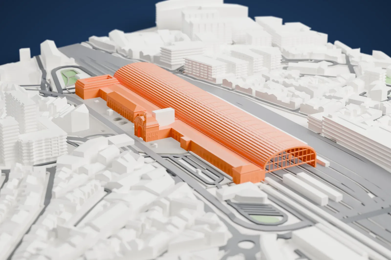
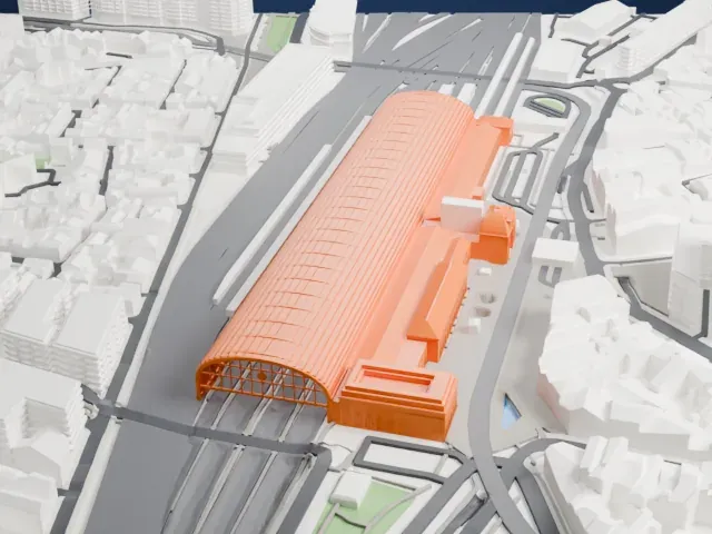
A free, printable model of Bordeaux-Saint-Jean station, with its very long arched roof over the tracks, and the dense city blocks and roads around it, generated from real map data in your browser.
-
 North
-
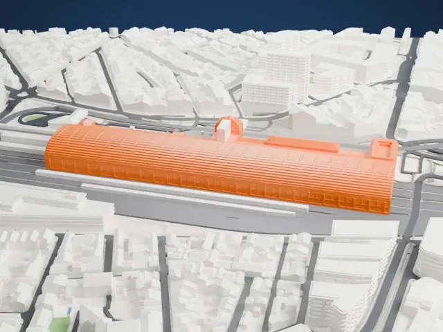 East
-
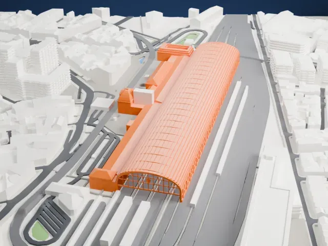 South
-
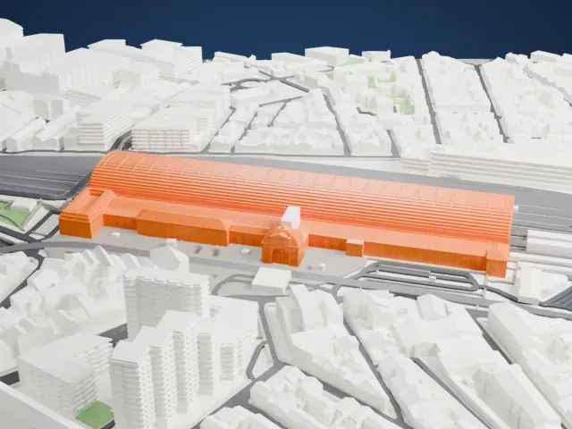 West
The model you print
Bordeaux-Saint-Jean station in 3D
The landmark on its own, at its size on a 160 mm print. Print friendly thickens thin parts for a 0.4 mm nozzle; Full detail keeps every part.
- On a 160 mm print
- 7 mm
- Scale
- 1:4,375
7 mm tall on a 160 mm print
Make this print opens the generator on a 700 m square around the landmark. Buildings print at close to true scale, so the landmark grows with the print size.
- Long ribbed trainshed roof
The very long arched trainshed roof has many fine ribs, and its end wall is a thin frame. Print friendly adapts these thin parts to the print scale; Full detail suits a larger print with 0.12–0.16 mm layers.
- One piece with the ground
Bordeaux-Saint-Jean station is joined to the ground in the exported file, and the four-side check found no floating parts, so nothing needs gluing.
- Pick the detail for your nozzle
In the Buildings settings, set Landmark detail to Print friendly to adapt thin parts and small details to the print scale. Full detail keeps every modeled feature, for larger prints or a finer nozzle.
- Colors
Buildings, roads, water and ground arrive as separate filament slots in the 3MF. Bordeaux-Saint-Jean station takes the building color.
- File format
You get a 3MF for Bambu Studio, OrcaSlicer or PrusaSlicer. Any of them can save it as STL if you need one.
About Bordeaux-Saint-Jean station
Bordeaux-Saint-Jean, which was formerly called Bordeaux-Midi, is the principal railway station of the city of Bordeaux in France. It is where the Paris–Bordeaux railway ends in the south, and it is also the western end of the main line from Toulouse that the Chemins de fer du Midi operated. The station building stands in central Bordeaux where the Cours de la Marne ends, and its large metal trainshed was built by Gustave Eiffel.
The Chemins de fer du Midi built the station in 1855 as Gare du Midi, as the western end of its Bordeaux–Sète main line. In 1860 Gustave Eiffel built a long metal viaduct that let trains cross the river, and Bordeaux-Saint-Jean gradually became the main station of Bordeaux. Eiffel's two-track bridge later became a bottleneck and was replaced in 2008 by a new bridge with four tracks beside it.
The present station building dates from 1898 and was the work of M Toudoire and S Choron. Its metal trainshed, conceived by Daidé and Pillé and constructed by G. Eiffel, is one of the largest in Europe: it is 56 m wide and has an area of 17,000 m2. After the TGV arrived, the station was renovated and given modern equipment, yet it kept its original features.
About this model
Bordeaux-Saint-Jean station is one of more than 6,500 landmark models in Mini Skyline. They are made with AI, and each one is checked in its real surroundings before release. Each model is written as code from public descriptions, plans, photographs and aerial views used only as references; no image or third-party model is copied into it. Everything around it is built from OpenStreetMap and Overture map data. Rights in the building itself, its name and any brands on it are not granted by Mini Skyline; clear them separately before you sell prints. If you would rather print the shape from map data, turn off Landmark models in the Buildings settings.
Mini Skyline is not affiliated with, or endorsed by, the owners of this building or its names and marks.
Keep exploring