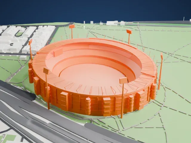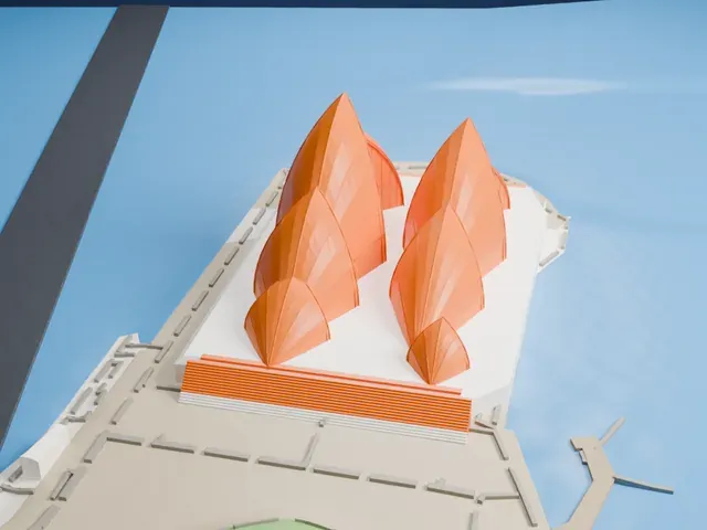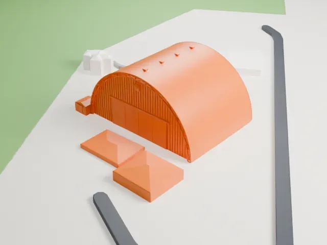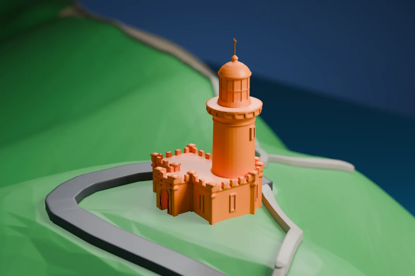
Cape Byron Light in 3D
Cape Byron Light appears in city models you make here; its design may still be protected, so it isn't offered as a separate download.
-
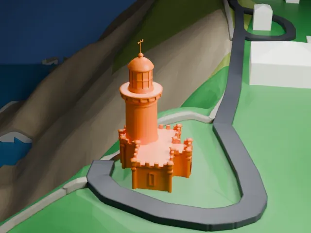 North
-
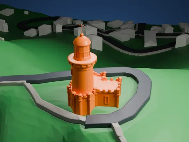 East
-
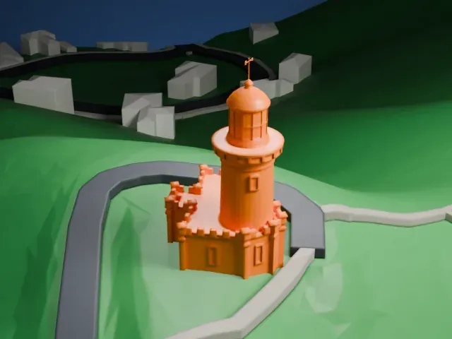 South
-
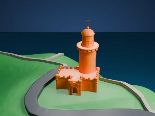 West
Copyright notice
The design of Cape Byron Light may still be protected by copyright. It appears in the city models you make here, but it is not offered as a separate model.
- On a 160 mm print
- 6 mm
- Scale
- 1:3,750
6 mm tall on a 160 mm print
Make this print opens the generator on a 600 m square around the landmark. Buildings print at close to true scale, so the landmark grows with the print size.
- Lantern, dome and vane
The domed lantern room and the thin vane above it are the finest parts of the tower. Print friendly adapts them to the print scale; print slowly with good cooling so the top stays crisp.
- Battlements on the base
The square base has small battlements and corner pinnacles. Full detail keeps them on larger prints; 0.12–0.16 mm layers help them stay sharp.
- One piece with the ground
Cape Byron Light is joined to the ground in the exported file, and the four-side check found no floating parts, so nothing needs gluing.
- Pick the detail for your nozzle
In the Buildings settings, set Landmark detail to Print friendly to adapt thin parts and small details to the print scale. Full detail keeps every modeled feature, for larger prints or a finer nozzle.
- Colors
Buildings, roads, water and ground arrive as separate filament slots in the 3MF. Cape Byron Light takes the building color.
- File format
You get a 3MF for Bambu Studio, OrcaSlicer or PrusaSlicer. Any of them can save it as STL if you need one.
About Cape Byron Light
Cape Byron Light (also Cape Byron Lightstation) is a heritage-listed lighthouse that remains active, in the far north coast region of New South Wales, Australia. It stands on Cape Byron, which marks the easternmost point of the Australian mainland, about three kilometers (2 mi) from the town of Byron Bay. Its light, rated at 2,200,000 candelas, makes it Australia's most powerful lighthouse.
Charles Harding and Cecil W. Darley designed the lighthouse, and Messrs Mitchell & King built it from 1899 to 1901. On a headland that stands 100 meters (330 ft) over the Tasman Sea, Harding designed a fairly low round tower whose height to the base of the lantern is 13.5 m. The station buildings also serve as an interpretive center, maritime museum, accommodation and visitor attraction.
Captain James Cook first observed Cape Byron on May 15, 1770, and named the headland after the navigator Vice-Admiral John Byron. For thousands of years before that, the headland was an important site for the Bundjalung people, who traditionally called it Cavanba. The lighthouse joined the Commonwealth Heritage List on June 22, 2004, and was entered in the State Heritage Register of New South Wales on February 22, 2019.
About this model
Cape Byron Light is one of more than 6,500 landmark models in Mini Skyline. They are made with AI, and each one is checked in its real surroundings before release. Each model is written as code from public descriptions, plans, photographs and aerial views used only as references; no image or third-party model is copied into it. Everything around it is built from OpenStreetMap and Overture map data. Rights in the building itself, its name and any brands on it are not granted by Mini Skyline; clear them separately before you sell prints. If you would rather print the shape from map data, turn off Landmark models in the Buildings settings.
Mini Skyline is not affiliated with, or endorsed by, the owners of this building or its names and marks.
Keep exploring