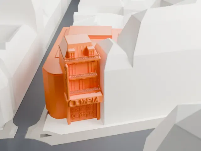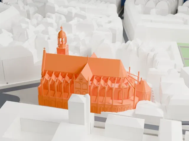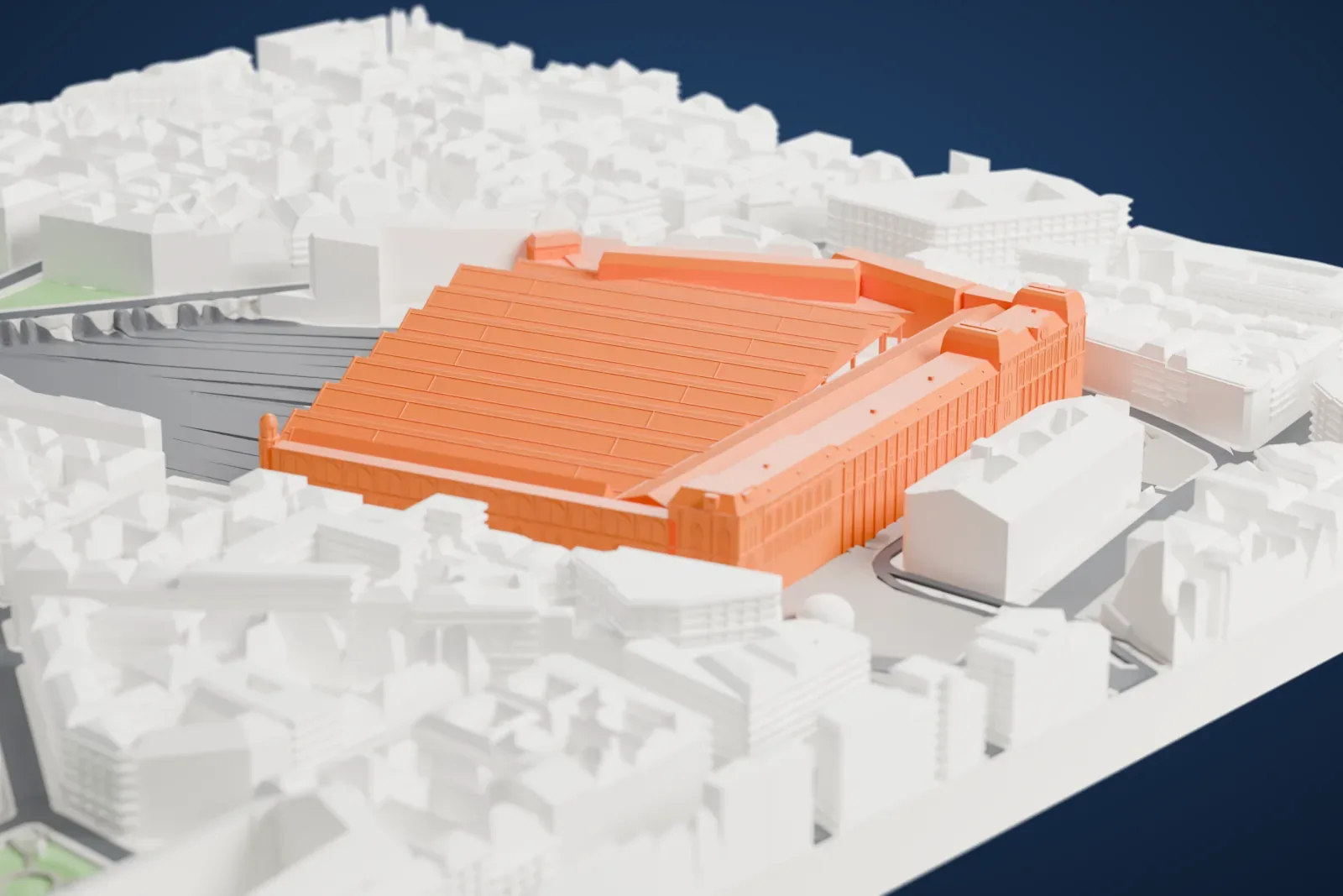
3D print Gare Saint-Lazare
A free, printable model of Gare Saint-Lazare, its long platform roofs and the dense Paris streets and buildings around it, generated from real map data in your browser.
-
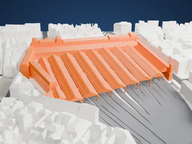 North
-
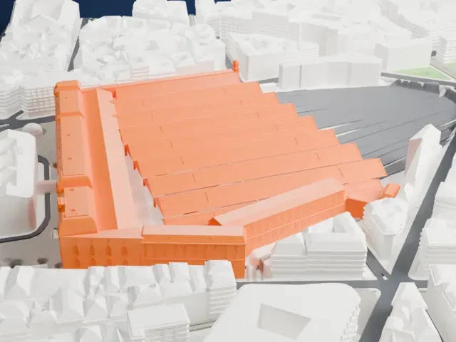 East
-
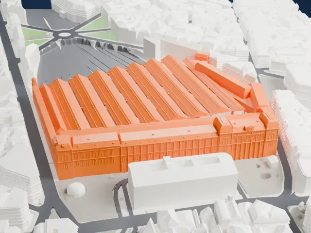 South
-
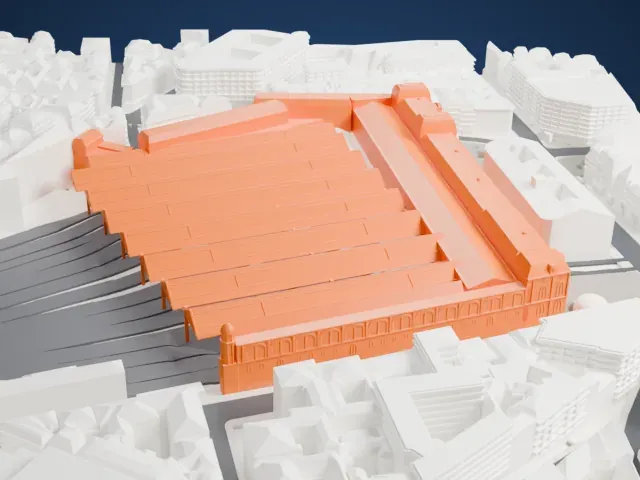 West
The model you print
Gare Saint-Lazare in 3D
The landmark on its own, at its size on a 160 mm print. Print friendly thickens thin parts for a 0.4 mm nozzle; Full detail keeps every part.
- On a 160 mm print
- 13 mm
- Scale
- 1:3,750
13 mm tall on a 160 mm print
Make this print opens the generator on a 600 m square around the landmark. Buildings print at close to true scale, so the landmark grows with the print size.
- Row of long platform roofs
The station is a run of parallel roofs on slim columns above the tracks. A layer height of 0.12–0.16 mm keeps the ridges crisp, and Landmark detail set to Print friendly strengthens the thin supports.
- One piece with the ground
Gare Saint-Lazare is joined to the ground in the exported file, and the four-side check found no floating parts, so nothing needs gluing.
- Pick the detail for your nozzle
In the Buildings settings, set Landmark detail to Print friendly to adapt thin parts and small details to the print scale. Full detail keeps every modeled feature, for larger prints or a finer nozzle.
- Colors
Buildings, roads, water and ground arrive as separate filament slots in the 3MF. Gare Saint-Lazare takes the building color.
- File format
You get a 3MF for Bambu Studio, OrcaSlicer or PrusaSlicer. Any of them can save it as STL if you need one.
About Gare Saint-Lazare
Gare Saint-Lazare (officially Paris Saint Lazare) is among seven big mainline railway terminals in Paris, France, and it opened in 1837 as the first station built in the city. The first station, called the Embarcadère des Batignolles, stood 200 meters (656 ft) northwest of the present site and was opened by Marie-Amélie in 1837. The first line it served was a single track to Le Pecq.
The building in use today opened in 1889 to a design by the architect Juste Lisch. It is in the 8th arrondissement, a very dense business and shopping district of Paris. It mostly serves trains to the western suburbs, along with intercity services toward Normandy on the Paris–Le Havre railway. Its 27 tracks are sorted into six groups by destination, up from 14 tracks in 1854.
Artists of the Impressionist era were drawn to the station, and many lived nearby in the 1870s and 1880s. Édouard Manet's painting The Railway, which is also called Gare Saint-Lazare, was shown at the Paris Salon in 1874. In 1877 Claude Monet took a studio close to the station and exhibited seven paintings of it, and he completed 12 paintings of the subject. The Pont de l'Europe, painted by Gustave Caillebotte, is a huge bridge that crosses the railyard.
About this model
Gare Saint-Lazare is one of more than 6,500 landmark models in Mini Skyline. They are made with AI, and each one is checked in its real surroundings before release. Each model is written as code from public descriptions, plans, photographs and aerial views used only as references; no image or third-party model is copied into it. Everything around it is built from OpenStreetMap and Overture map data. Rights in the building itself, its name and any brands on it are not granted by Mini Skyline; clear them separately before you sell prints. If you would rather print the shape from map data, turn off Landmark models in the Buildings settings.
Mini Skyline is not affiliated with, or endorsed by, the owners of this building or its names and marks.
Same skyline