3D print Hegge Stave Church
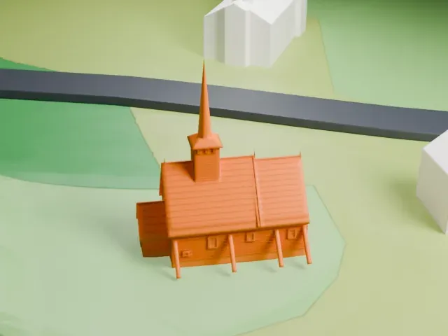
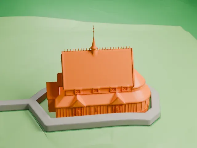
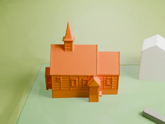
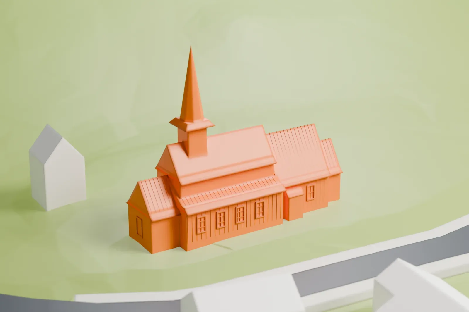
A free, printable model of Hegge Stave Church with its roof tower and tall spire, shown on green fields beside a road and nearby buildings, generated from real map data in your browser.
-
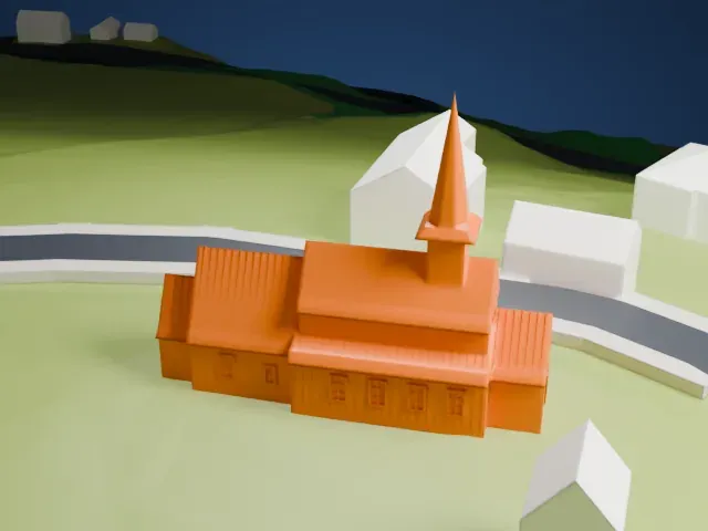 North
-
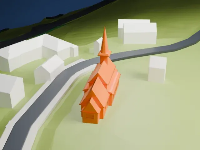 East
-
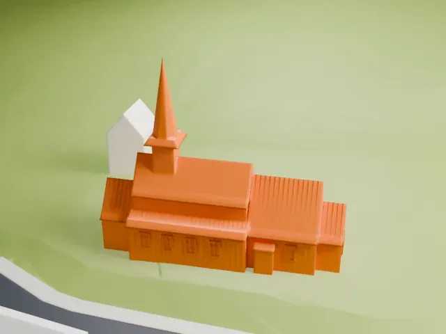 South
-
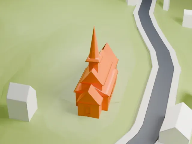 West
The model you print
Hegge Stave Church in 3D
The landmark on its own, at its size on a 160 mm print. Print friendly thickens thin parts for a 0.4 mm nozzle; Full detail keeps every part.
- On a 160 mm print
- 7 mm
- Scale
- 1:3,750
7 mm tall on a 160 mm print
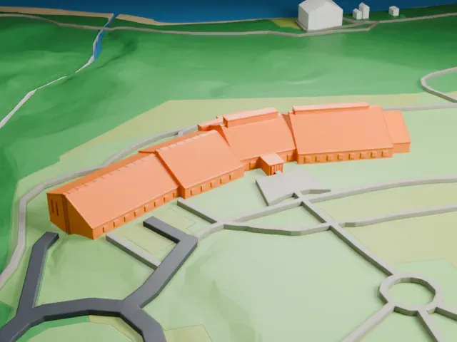
Make this print opens the generator on a 600 m square around the landmark. Buildings print at close to true scale, so the landmark grows with the print size.
- Tall spire on the roof
The slim spire above the roof tower is the thinnest part of the model. Use Full detail at a larger print size, a 0.12-0.16 mm layer height, and slow printing so the tip stays sharp.
- One piece with the ground
Hegge Stave Church is joined to the ground in the exported file, and the four-side check found no floating parts, so nothing needs gluing.
- Pick the detail for your nozzle
In the Buildings settings, set Landmark detail to Print friendly to adapt thin parts and small details to the print scale. Full detail keeps every modeled feature, for larger prints or a finer nozzle.
- Colors
Buildings, roads, water and ground arrive as separate filament slots in the 3MF. Hegge Stave Church takes the building color.
- File format
You get a 3MF for Bambu Studio, OrcaSlicer or PrusaSlicer. Any of them can save it as STL if you need one.
About Hegge Stave Church
Hegge Stave Church serves the village of Hegge in Øystre Slidre Municipality, Innlandet county, Norway, as a Church of Norway parish church. The Hegge parish belongs to the Valdres deanery of the Diocese of Hamar. The church is brown and wooden, built in a long design around 1216 by an unknown architect, and it seats about 150 people.
The earliest surviving historical records date to 1322, though the church already existed by then. Dendrochronological dating of some of its logs points to a construction date of 1215-1216. The church is of the basilica type: eight free-standing columns called staves inside form an arcade, and they surround a central area under a raised roof. A runic inscription reads that Erling Arnason wrote these runes.
The church changed over the centuries. The choir was expanded in 1807, the nave gained an extension on its west end in 1844, and a sacristy was added beside the east end of the choir in 1864. The architect Arnstein Arneberg directed major repairs in 1924-1925 to deal with rot damage and a settling foundation; he later did extensive renovation work on Hamar Cathedral. The 13th-century baptismal font is decorated with knots, trees, human figures and stars.
About this model
Hegge Stave Church is one of more than 6,500 landmark models in Mini Skyline. They are made with AI, and each one is checked in its real surroundings before release. Each model is written as code from public descriptions, plans, photographs and aerial views used only as references; no image or third-party model is copied into it. Everything around it is built from OpenStreetMap and Overture map data. Rights in the building itself, its name and any brands on it are not granted by Mini Skyline; clear them separately before you sell prints. If you would rather print the shape from map data, turn off Landmark models in the Buildings settings.
Mini Skyline is not affiliated with, or endorsed by, the owners of this building or its names and marks.
Keep exploring