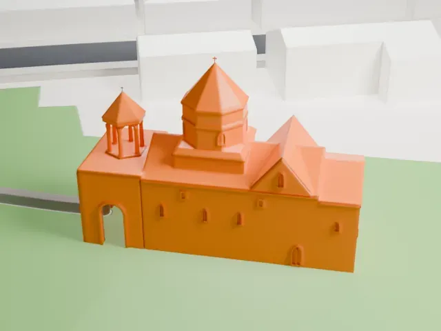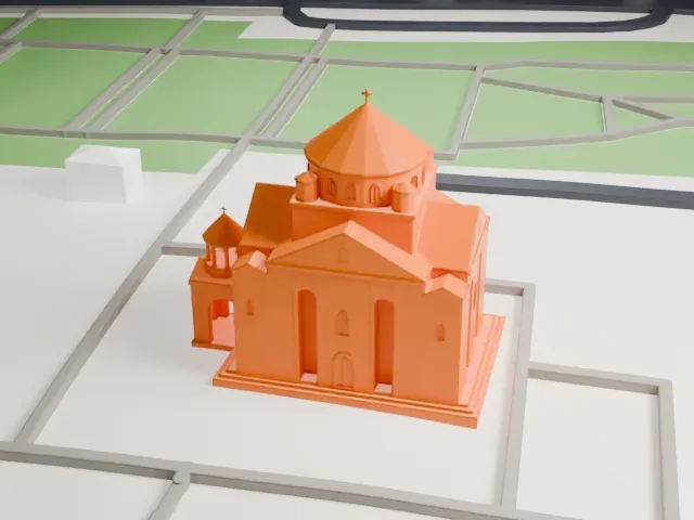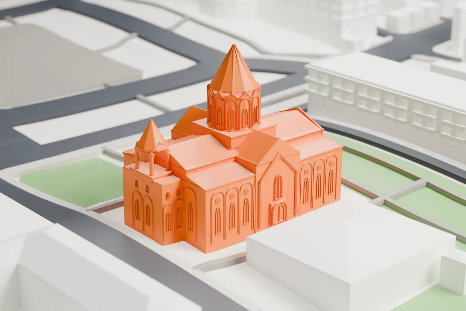
3D print the Holy Saviour's Church, Gyumri
A free, printable model of the church with its drum and conical roof, and the park and city blocks around it, generated from real map data in your browser.
-
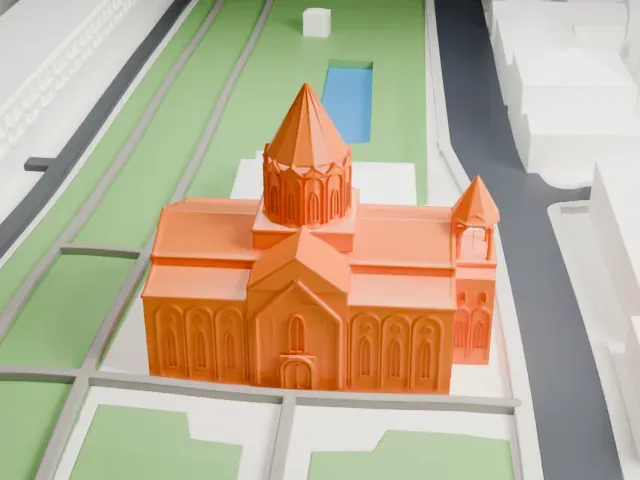 North
-
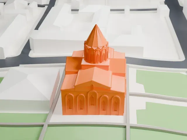 East
-
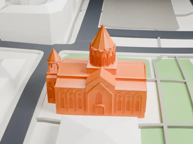 South
-
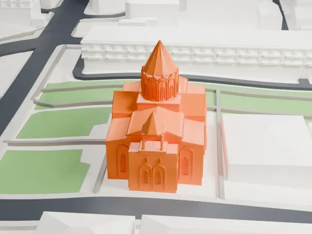 West
The model you print
Holy Saviour's Church, Gyumri in 3D
The landmark on its own, at its size on a 160 mm print. Print friendly thickens thin parts for a 0.4 mm nozzle; Full detail keeps every part.
- On a 160 mm print
- 10 mm
- Scale
- 1:3,750
10 mm tall on a 160 mm print
Make this print opens the generator on a 600 m square around the landmark. Buildings print at close to true scale, so the landmark grows with the print size.
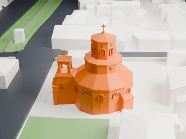
- Conical roof and small belfry
A tall conical roof sits on the drum, and a small belfry with a conical cap stands at the corner. Print slowly for the thin tips, and use Full detail on a larger print to keep them.
- One piece with the ground
The Holy Saviour's Church, Gyumri is joined to the ground in the exported file, and the four-side check found no floating parts, so nothing needs gluing.
- Pick the detail for your nozzle
In the Buildings settings, set Landmark detail to Print friendly to adapt thin parts and small details to the print scale. Full detail keeps every modeled feature, for larger prints or a finer nozzle.
- Colors
Buildings, roads, water and ground arrive as separate filament slots in the 3MF. The Holy Saviour's Church, Gyumri takes the building color.
- File format
You get a 3MF for Bambu Studio, OrcaSlicer or PrusaSlicer. Any of them can save it as STL if you need one.
About the Holy Saviour's Church, Gyumri
Holy Saviour's Church is a church of the 19th century in Gyumri, Armenia, on the south side of Vartanants Square in the middle of the city. Construction ran from 1858 to 1872, and the church was consecrated in 1873. The work was led by architect Tadeos Andikyan, called the master of masters; donations from the people of Alexandropol and the Drampyan family paid for it. The design comes from the Cathedral of Ani, though Holy Saviour's is much larger.
During the 1850s, two churches were built at the center of Alexandropol-Gyumri, one Armenian Catholic and one Greek Orthodox. Followers of the Armenian Apostolic Church, the city's majority, took offense at that. They resolved to put up a bigger, more imposing church of their own, directly between the pair.
The church survived the 1926 earthquake. In the early 1930s the Soviet government seized it, and its belfry was torn down in 1932 and rebuilt in 1964. During the Soviet period it housed a museum and later a classical music concert hall. The 1988 earthquake severely damaged it, and a full renovation began in 2002.
About this model
The Holy Saviour's Church, Gyumri is one of more than 6,500 landmark models in Mini Skyline. They are made with AI, and each one is checked in its real surroundings before release. Each model is written as code from public descriptions, plans, photographs and aerial views used only as references; no image or third-party model is copied into it. Everything around it is built from OpenStreetMap and Overture map data. Rights in the building itself, its name and any brands on it are not granted by Mini Skyline; clear them separately before you sell prints. If you would rather print the shape from map data, turn off Landmark models in the Buildings settings.
Mini Skyline is not affiliated with, or endorsed by, the owners of this building or its names and marks.
Keep exploring