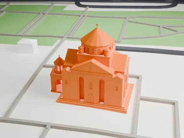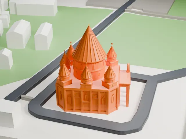
3D print Odzun Church
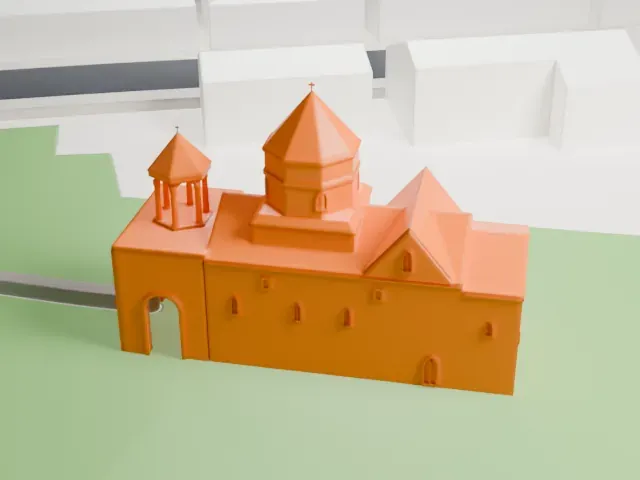
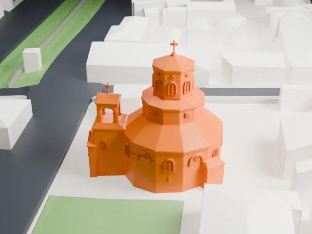
A free, printable model of Odzun Church, with its central dome, two small bell towers and arched cloister, and the nearby houses and roads, generated from real map data in your browser.
-
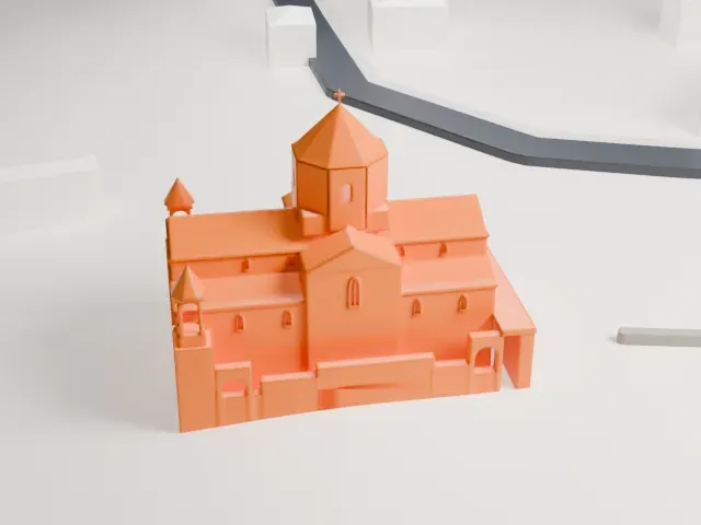 North
-
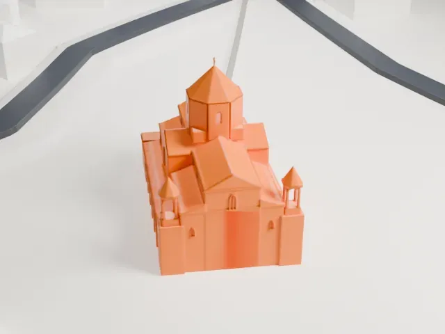 East
-
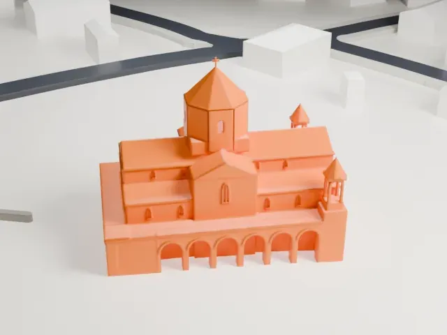 South
-
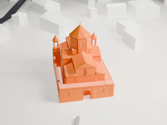 West
The model you print
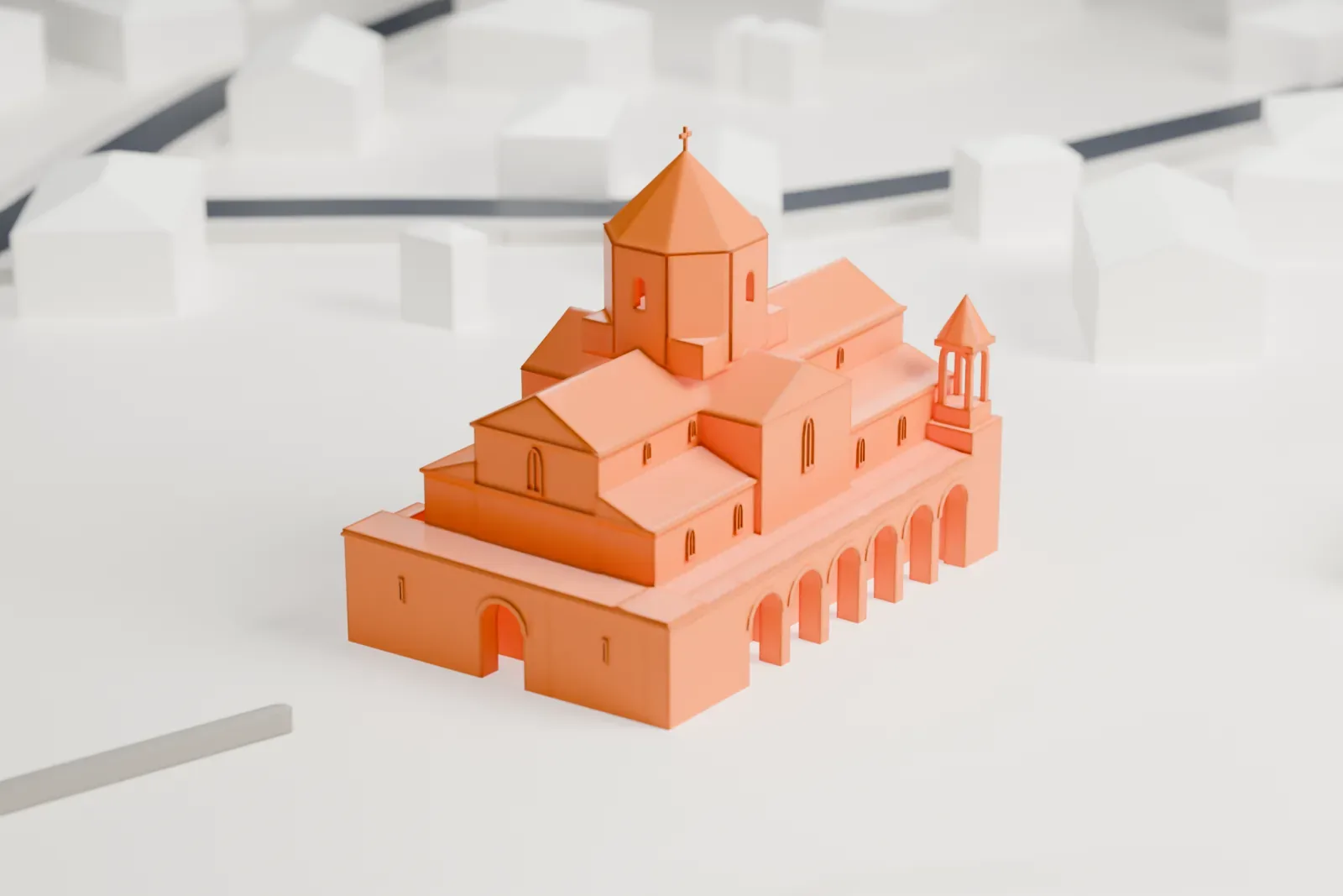
Odzun Church in 3D
The landmark on its own, at its size on a 160 mm print. Print friendly thickens thin parts for a 0.4 mm nozzle; Full detail keeps every part.
- On a 160 mm print
- 7 mm
- Scale
- 1:3,750
7 mm tall on a 160 mm print
Make this print opens the generator on a 600 m square around the landmark. Buildings print at close to true scale, so the landmark grows with the print size.
- Domed center and small cupolas
The octagonal dome has a thin cross on top, and the two bell towers end in small pointed caps. Print slowly with good cooling, and use a 0.12–0.16 mm layer height to keep the tips crisp.
- Arched cloister
The row of arches along the south side is a delicate detail. Print friendly adapts it to the print scale; Full detail keeps it, which suits a larger print size.
- One piece with the ground
Odzun Church is joined to the ground in the exported file, and the four-side check found no floating parts, so nothing needs gluing.
- Pick the detail for your nozzle
In the Buildings settings, set Landmark detail to Print friendly to adapt thin parts and small details to the print scale. Full detail keeps every modeled feature, for larger prints or a finer nozzle.
- Colors
Buildings, roads, water and ground arrive as separate filament slots in the 3MF. Odzun Church takes the building color.
- File format
You get a 3MF for Bambu Studio, OrcaSlicer or PrusaSlicer. Any of them can save it as STL if you need one.
About Odzun Church
Odzun Church is an Armenian basilica in Odzun, a village in Armenia's Lori Province. The site's first church goes back to the 6th century. The 8th century brought a reconstruction by Hovhannes III Odznetsi, who was katholikos from 717 to 728 and came from Odzun, as his name suggests.
That rebuilding gave the church the form it has now: a basilica of pink felsite with three naves, the two flanking ones narrow. Arcaded cloisters, an unusual feature, run along the southern side, and the northern one has not survived. The west cloister is a blind wall pierced by a central arched entrance. A barrel vault forms the roof, and four columns carry the rib-vaulted tambour.
A carving above the central window on the east facade shows Christ bearing the Gospel of St. John, and below it are two angels. Two small bell towers came later, in the 19th century. Renovation work took place from 2012 to 2014. A funerary monument stands among the gravestones around the church; it is one of just two of its type in Armenia, and it is suggested that it commemorates Hovhannes Odznetsi.
About this model
Odzun Church is one of more than 6,500 landmark models in Mini Skyline. They are made with AI, and each one is checked in its real surroundings before release. Each model is written as code from public descriptions, plans, photographs and aerial views used only as references; no image or third-party model is copied into it. Everything around it is built from OpenStreetMap and Overture map data. Rights in the building itself, its name and any brands on it are not granted by Mini Skyline; clear them separately before you sell prints. If you would rather print the shape from map data, turn off Landmark models in the Buildings settings.
Mini Skyline is not affiliated with, or endorsed by, the owners of this building or its names and marks.
Keep exploring