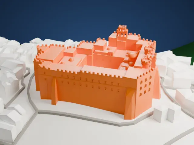
3D print the Koules Fortress
A free, printable model of the Koules Fortress in Heraklion, with its battlements, the water around it and the long breakwater beside it, generated from real map data in your browser.
-
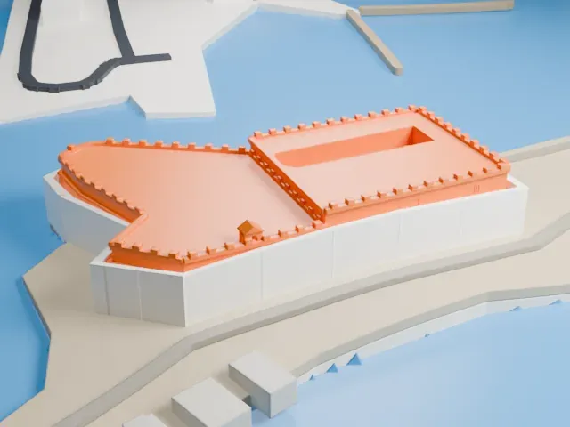 North
-
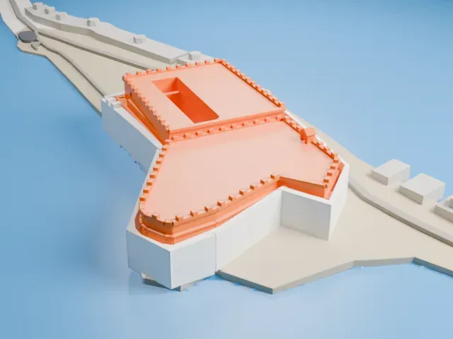 East
-
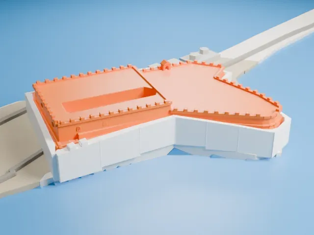 South
-
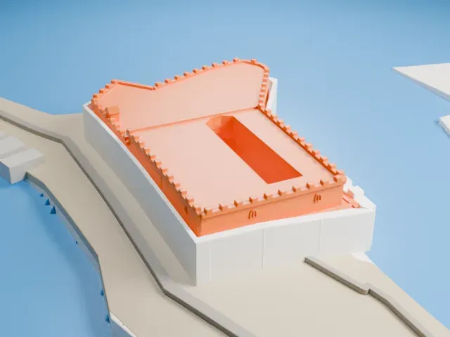 West
The model you print
Koules Fortress in 3D
The landmark on its own, at its size on a 160 mm print. Print friendly thickens thin parts for a 0.4 mm nozzle; Full detail keeps every part.
- On a 160 mm print
- 5 mm
- Scale
- 1:3,750
5 mm tall on a 160 mm print
Make this print opens the generator on a 600 m square around the landmark. Buildings print at close to true scale, so the landmark grows with the print size.
- Tiny battlements
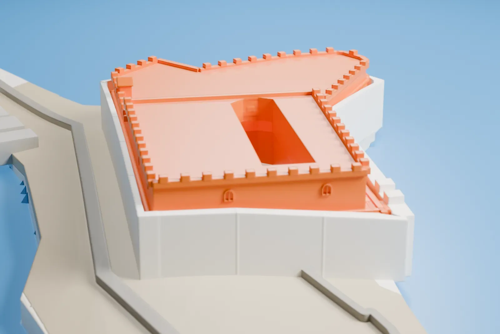
The rows of small crenellations along the parapet are the finest detail on this low, wide model. Use Full detail on a larger print to keep each tooth, or Print friendly to adapt them to the print scale.
- Open slot in the roof
The rectangular section has a long open slot cut into its roof. A larger print keeps its edges clean, and a 0.12 mm layer height keeps the walls around it crisp.
- One piece with the ground
The Koules Fortress is joined to the ground in the exported file, and the four-side check found no floating parts, so nothing needs gluing.
- Pick the detail for your nozzle
In the Buildings settings, set Landmark detail to Print friendly to adapt thin parts and small details to the print scale. Full detail keeps every modeled feature, for larger prints or a finer nozzle.
- Colors
Buildings, roads, water and ground arrive as separate filament slots in the 3MF. The Koules Fortress takes the building color.
- File format
You get a 3MF for Bambu Studio, OrcaSlicer or PrusaSlicer. Any of them can save it as STL if you need one.
About the Koules Fortress
The Koules, also called Castello a Mare, which is Italian for Fort on the Sea, guards the entrance to the old port of Heraklion on Crete, Greece. The Republic of Venice built it in the early 16th century. A Byzantine tower had stood on the site, and it was demolished in 1523, and the new fortress began to be built instead. The fortress was completed in 1540.
Builders loaded old ships with stone and sank them, forming a breakwater and enlarging the platform beneath the fortress. The fort consists of a tall rectangular block joined to a somewhat lower section with a semi-elliptical outline. Its walls are as much as 8.7 m thick in some spots, and three entrances lead inside.
The interior has two levels holding 26 rooms in all, first serving as barracks, a bakery, a mill, a church, a water reservoir, storage rooms and a prison. By 1630 the fort carried 18 cannons at ground level and 25 more along the path up to the roof. The Ottomans gained the fort in 1669, once the Venetians had given up the whole city, and they added only some battlements and embrasures.
About this model
The Koules Fortress is one of more than 6,500 landmark models in Mini Skyline. They are made with AI, and each one is checked in its real surroundings before release. Each model is written as code from public descriptions, plans, photographs and aerial views used only as references; no image or third-party model is copied into it. Everything around it is built from OpenStreetMap and Overture map data. Rights in the building itself, its name and any brands on it are not granted by Mini Skyline; clear them separately before you sell prints. If you would rather print the shape from map data, turn off Landmark models in the Buildings settings.
Mini Skyline is not affiliated with, or endorsed by, the owners of this building or its names and marks.
Keep exploring