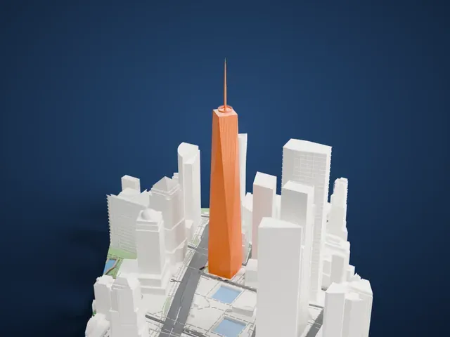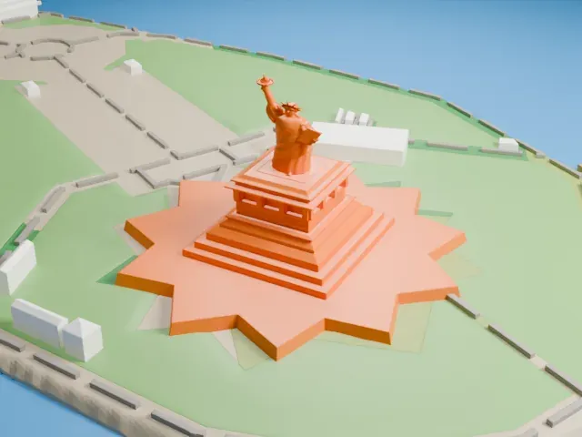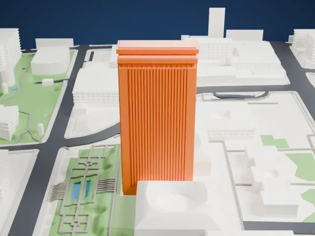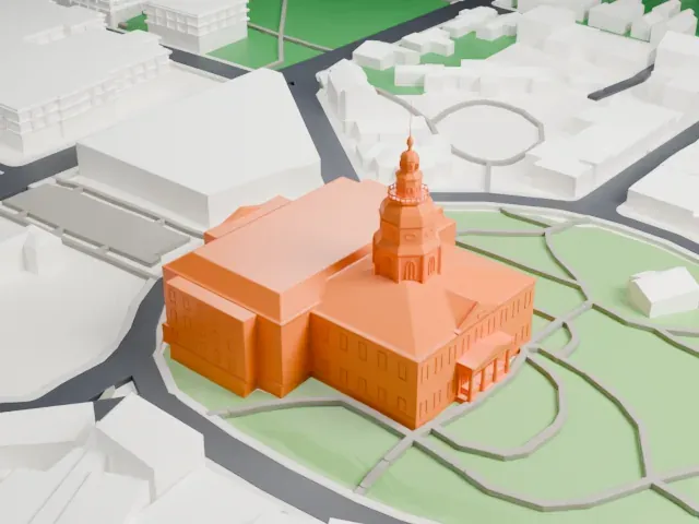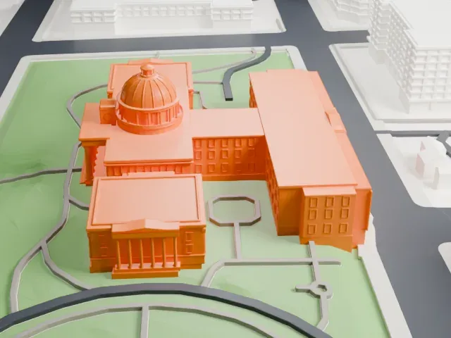
3D print Mission Santa Barbara
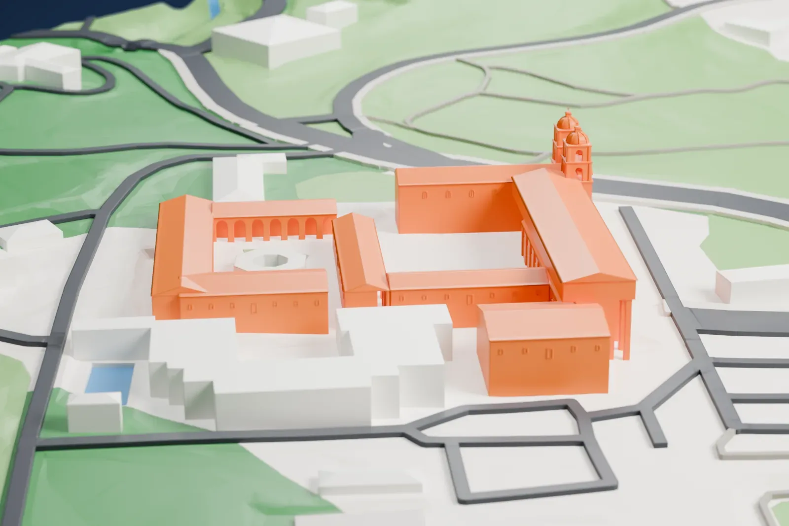
A free, printable model of Mission Santa Barbara, its twin-towered church and courtyards, with the lawns, hillside and streets around it, generated from real map data in your browser.
-
 North
-
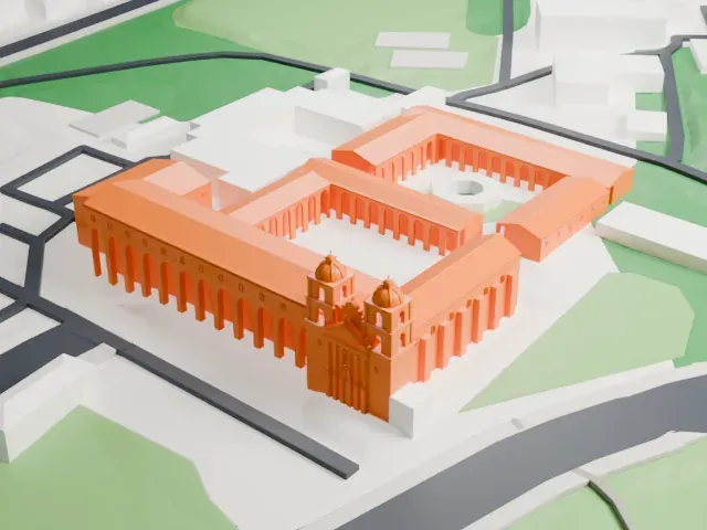 East
-
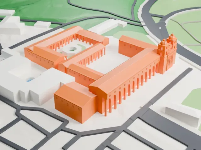 South
-
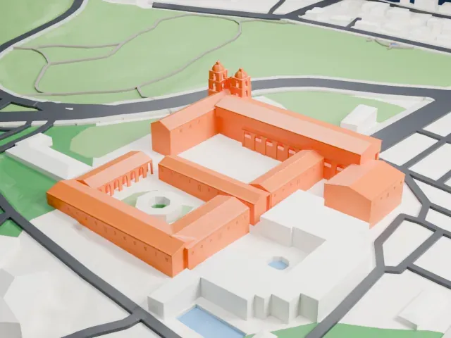 West
The model you print
Mission Santa Barbara in 3D
The landmark on its own, at its size on a 160 mm print. Print friendly thickens thin parts for a 0.4 mm nozzle; Full detail keeps every part.
- On a 160 mm print
- 11 mm
- Scale
- 1:3,750
11 mm tall on a 160 mm print
Make this print opens the generator on a 600 m square around the landmark. Buildings print at close to true scale, so the landmark grows with the print size.
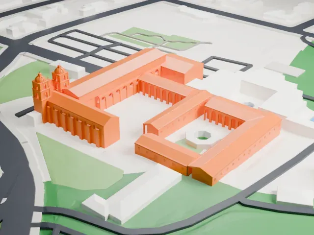
- Long arcades and twin towers
The church front has two towers, and long rows of arches run along the courtyards. Print friendly adapts these small repeated details to the print scale; Full detail keeps every arch, best at larger sizes and 0.12–0.16 mm layers.
- One piece with the ground
Mission Santa Barbara is joined to the ground in the exported file, and the four-side check found no floating parts, so nothing needs gluing.
- Pick the detail for your nozzle
In the Buildings settings, set Landmark detail to Print friendly to adapt thin parts and small details to the print scale. Full detail keeps every modeled feature, for larger prints or a finer nozzle.
- Colors
Buildings, roads, water and ground arrive as separate filament slots in the 3MF. Mission Santa Barbara takes the building color.
- File format
You get a 3MF for Bambu Studio, OrcaSlicer or PrusaSlicer. Any of them can save it as STL if you need one.
About Mission Santa Barbara
Mission Santa Barbara, a Spanish mission in the California city of the same name, is often called the "Queen of the Missions". Padre Fermín Lasuén founded it on December 4, 1786, for the Franciscans, on the feast day of Saint Barbara; it was the tenth of 21 missions that would eventually stand in Alta California. The grounds lie on high ground with the Pacific Ocean on one side and the Santa Ynez Mountains on the other. It serves as a parish church in the Archdiocese of Los Angeles.
The first missionaries built three chapels during its early years, each one bigger than the one before. The third, an adobe building 125 ft (38 m) long, did not survive the Santa Barbara earthquake of 1812. Construction of the fourth structure had begun by 1815 and was mostly completed by 1820. The June 29, 1925, earthquake severely damaged the towers, and restoration was finished in 1927. From 1950 to 1953 the facade and towers were taken down and rebuilt in their original form.
Along with Mission San Luis Rey, it is the only mission that has stayed under Franciscan leadership since its founding. The ruins of the mission's original infrastructure, including tanning vats, a pottery kiln, a guard house and a water system, lie on the adjoining land to the east, called Mission Historical Park. For the local Chumash people, the mission system amounted to a type of forced servitude.
About this model
Mission Santa Barbara is one of more than 6,500 landmark models in Mini Skyline. They are made with AI, and each one is checked in its real surroundings before release. Each model is written as code from public descriptions, plans, photographs and aerial views used only as references; no image or third-party model is copied into it. Everything around it is built from OpenStreetMap and Overture map data. Rights in the building itself, its name and any brands on it are not granted by Mini Skyline; clear them separately before you sell prints. If you would rather print the shape from map data, turn off Landmark models in the Buildings settings.
Mini Skyline is not affiliated with, or endorsed by, the owners of this building or its names and marks.
Keep exploring