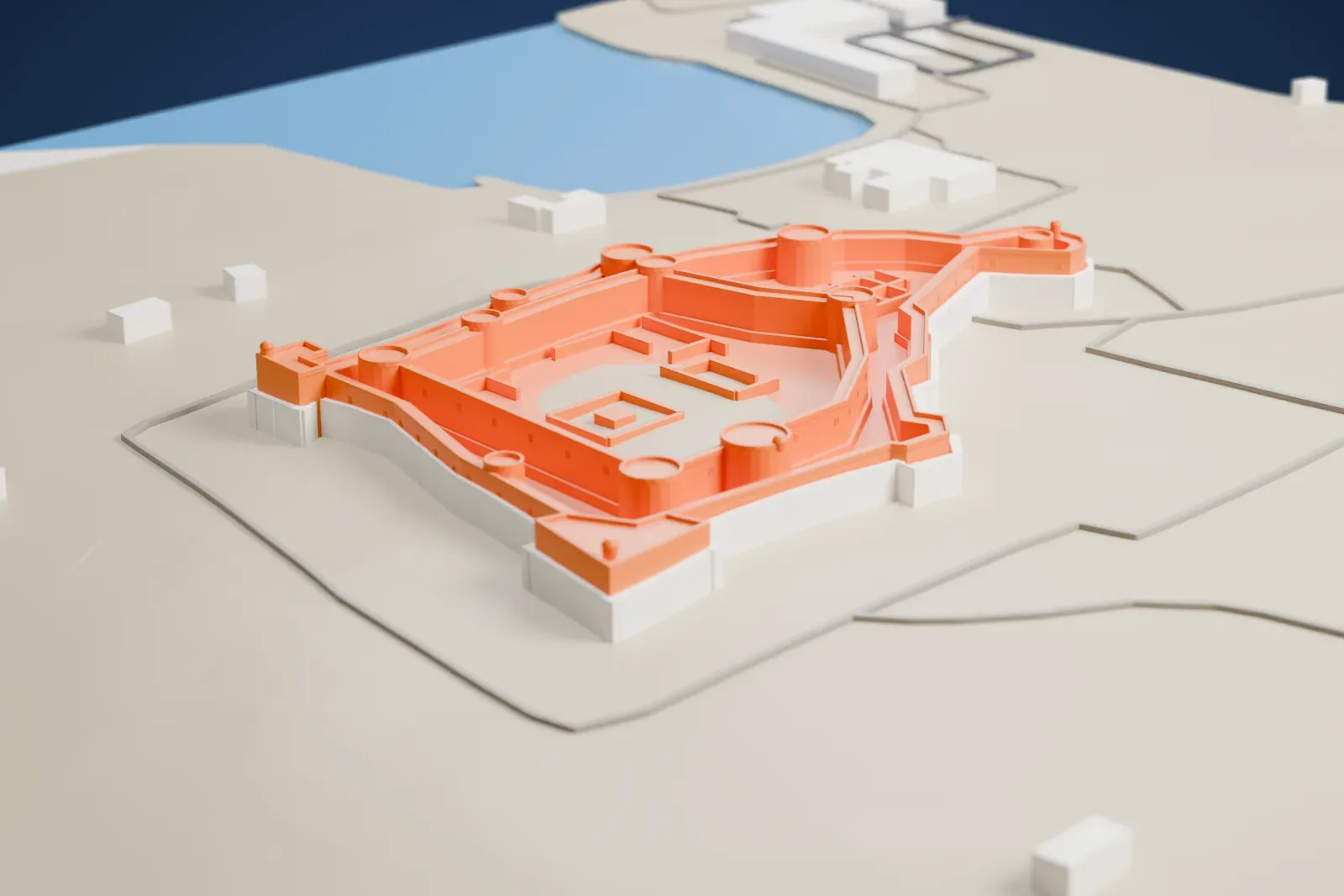
Qal'at al-Bahrain in 3D
Qal'at al-Bahrain appears in city models you make here; its design may still be protected, so it isn't offered as a separate download.
-
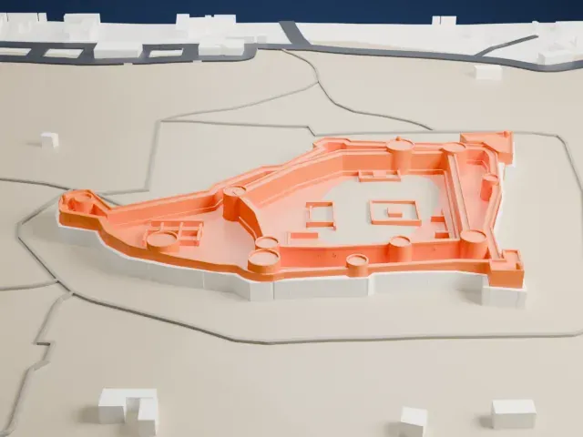 North
-
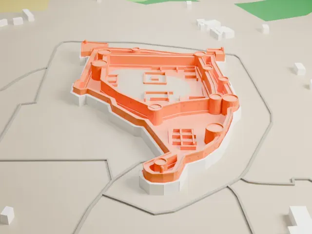 East
-
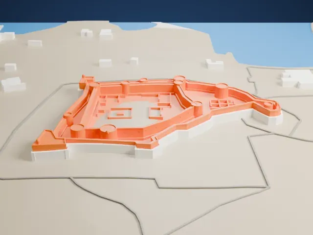 South
-
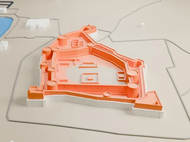 West
Copyright notice
The design of Qal'at al-Bahrain may still be protected by copyright. It appears in the city models you make here, but it is not offered as a separate model.
- On a 160 mm print
- 5 mm
- Scale
- 1:3,750
5 mm tall on a 160 mm print
Make this print opens the generator on a 600 m square around the landmark. Buildings print at close to true scale, so the landmark grows with the print size.
- Thin walls and round towers
The fort is low and wide, with narrow wall tops and many round corner towers. Print friendly thickens thin walls for the print scale; Full detail keeps them as modeled, which suits a larger print.
- Small structures in the courtyard
Low outlines of small structures sit inside the walls. A layer height of 0.12 to 0.16 mm and a bigger print size keep these low details from blurring.
- One piece with the ground
Qal'at al-Bahrain is joined to the ground in the exported file, and the four-side check found no floating parts, so nothing needs gluing.
- Pick the detail for your nozzle
In the Buildings settings, set Landmark detail to Print friendly to adapt thin parts and small details to the print scale. Full detail keeps every modeled feature, for larger prints or a finer nozzle.
- Colors
Buildings, roads, water and ground arrive as separate filament slots in the 3MF. Qal'at al-Bahrain takes the building color.
- File format
You get a 3MF for Bambu Studio, OrcaSlicer or PrusaSlicer. Any of them can save it as STL if you need one.
About Qal'at al-Bahrain
Qal'at al-Bahrain, called the Bahrain Fort or the Portuguese Fort, is an archaeological site on Bahrain Island's northern shore, about 6 km (4 mi) from Manama. The mound it stands on is the Persian Gulf region's largest tell, built near the port and partly by reclaiming land from the shore. The name comes from Qalʿat al-Burtughal, the Portuguese fort on top of the 12 m (39 ft) mound; qalʿa means fort.
Digs begun in 1954 have recovered antiquities from this man-made mound, which has seven layered strata built up by successive occupants from 2300 BC onward, among them Kassites, Greeks, Portuguese and Persians, which makes it the Persian Gulf region's oldest fortification. Roughly 25% of the site has been dug, uncovering residential, public, commercial, religious and military structures that show its importance as a trading port. A Danish expedition under Geoffrey Bibby carried out the first excavation, working from 1954 to 1972.
It was the capital of the Dilmun civilization at one time, and it holds the richest remains of that culture. Copper casting workshops were found there, and this copperware was traded with nearby lands, among them Oman and Mesopotamia. The fortifications enclosed 15 ha (37 acres). UNESCO inscribed it as a World Heritage Site in 2005.
About this model
Qal'at al-Bahrain is one of more than 6,500 landmark models in Mini Skyline. They are made with AI, and each one is checked in its real surroundings before release. Each model is written as code from public descriptions, plans, photographs and aerial views used only as references; no image or third-party model is copied into it. Everything around it is built from OpenStreetMap and Overture map data. Rights in the building itself, its name and any brands on it are not granted by Mini Skyline; clear them separately before you sell prints. If you would rather print the shape from map data, turn off Landmark models in the Buildings settings.
Mini Skyline is not affiliated with, or endorsed by, the owners of this building or its names and marks.
Same skyline