3D print the Remah Synagogue
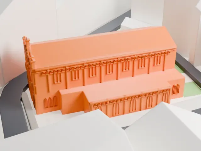
A free, printable model of the Remah Synagogue, a gabled hall with lower wings set among green paths and nearby buildings, generated from real map data in your browser.
-
 North
-
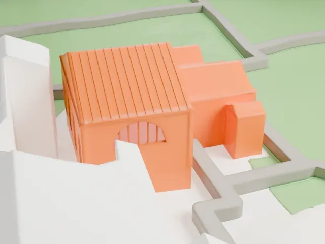 East
-
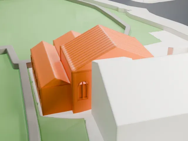 South
-
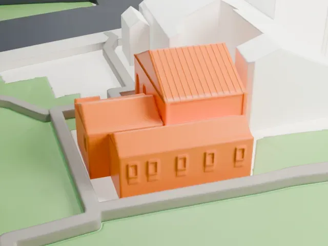 West
The model you print
Remah Synagogue in 3D
The landmark on its own, at its size on a 160 mm print. Print friendly thickens thin parts for a 0.4 mm nozzle; Full detail keeps every part.
- On a 160 mm print
- 3 mm
- Scale
- 1:3,750
3 mm tall on a 160 mm print
Make this print opens the generator on a 600 m square around the landmark. Buildings print at close to true scale, so the landmark grows with the print size.
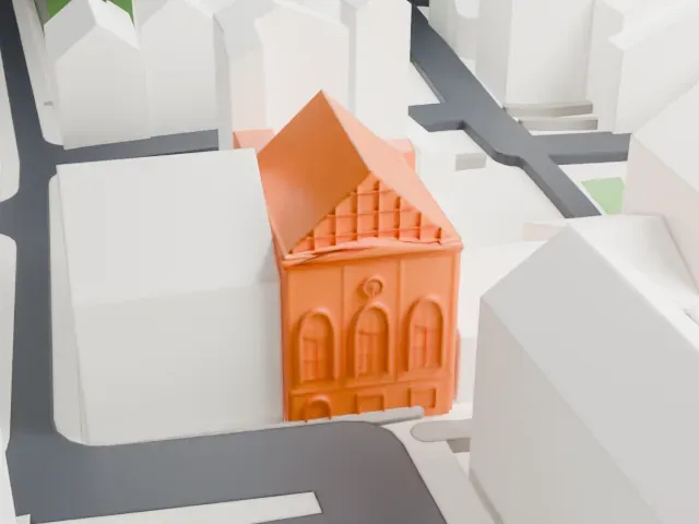
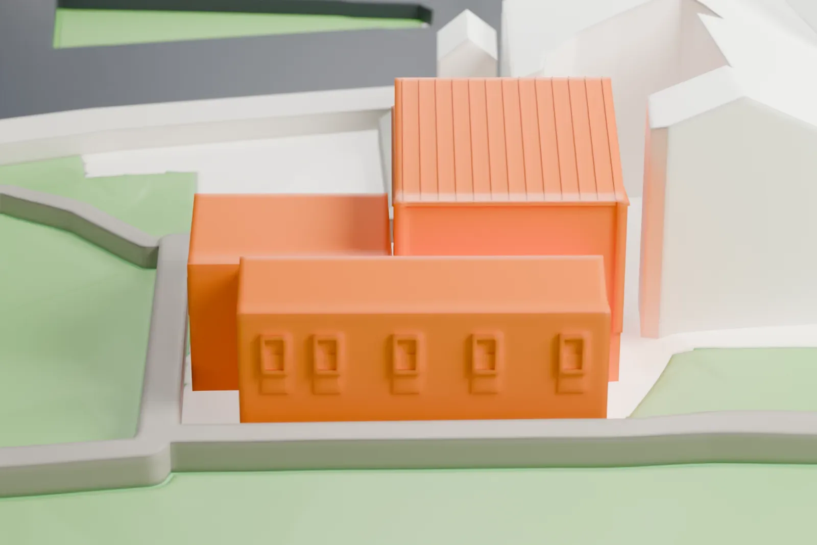
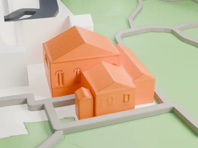
- Ribbed roof and arched windows
The main roof is marked with fine parallel ribs and the windows are shallow arches. Use 0.12 mm layers to keep them crisp, and consider Full detail on a larger print.
- One piece with the ground
The Remah Synagogue is joined to the ground in the exported file, and the four-side check found no floating parts, so nothing needs gluing.
- Pick the detail for your nozzle
In the Buildings settings, set Landmark detail to Print friendly to adapt thin parts and small details to the print scale. Full detail keeps every modeled feature, for larger prints or a finer nozzle.
- Colors
Buildings, roads, water and ground arrive as separate filament slots in the 3MF. The Remah Synagogue takes the building color.
- File format
You get a 3MF for Bambu Studio, OrcaSlicer or PrusaSlicer. Any of them can save it as STL if you need one.
About the Remah Synagogue
The Remah Synagogue (Synagoga Remu) is home to an Orthodox Jewish congregation. It stands at 40 Szeroka Street, in Kraków's historic Kazimierz district, Poland. Stanisław Baranek designed it with Renaissance and Art Nouveau styles, and it was completed in 1557. It carries the name of Rabbi Moses Isserles, who is known by the acronym ReMA and famed for commentaries and additions to Rabbi Yosef Karo's Shulchan Aruch.
Kazimierz then lay outside Kraków as a suburban village, on the Vistula's right bank, and a Jewish community had lived there since the late 15th century. The synagogue was built beside the Old Cemetery, on land belonging to the banker Israel ben Josef. A first building, probably of wood, was destroyed by fire in April 1557, and a masonry building went up the same year. The present building takes its design from the restoration of 1829.
During the Holocaust the German Trust Office took over the synagogue and used it as a storehouse for firefighting equipment, after its ceremonial objects and furnishings had been taken. The building itself was not destroyed. A major restoration in 1957 brought back much of the interior's pre-war appearance. The Holy Ark, carved in 1558, is the one original feature, and the Remah Cemetery lies next to the synagogue.
About this model
The Remah Synagogue is one of more than 6,500 landmark models in Mini Skyline. They are made with AI, and each one is checked in its real surroundings before release. Each model is written as code from public descriptions, plans, photographs and aerial views used only as references; no image or third-party model is copied into it. Everything around it is built from OpenStreetMap and Overture map data. Rights in the building itself, its name and any brands on it are not granted by Mini Skyline; clear them separately before you sell prints. If you would rather print the shape from map data, turn off Landmark models in the Buildings settings.
Mini Skyline is not affiliated with, or endorsed by, the owners of this building or its names and marks.
Same skyline