3D print the San Jacinto Monument
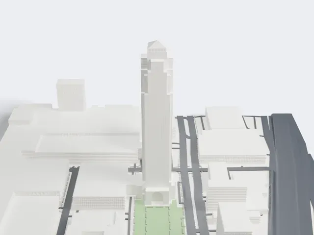
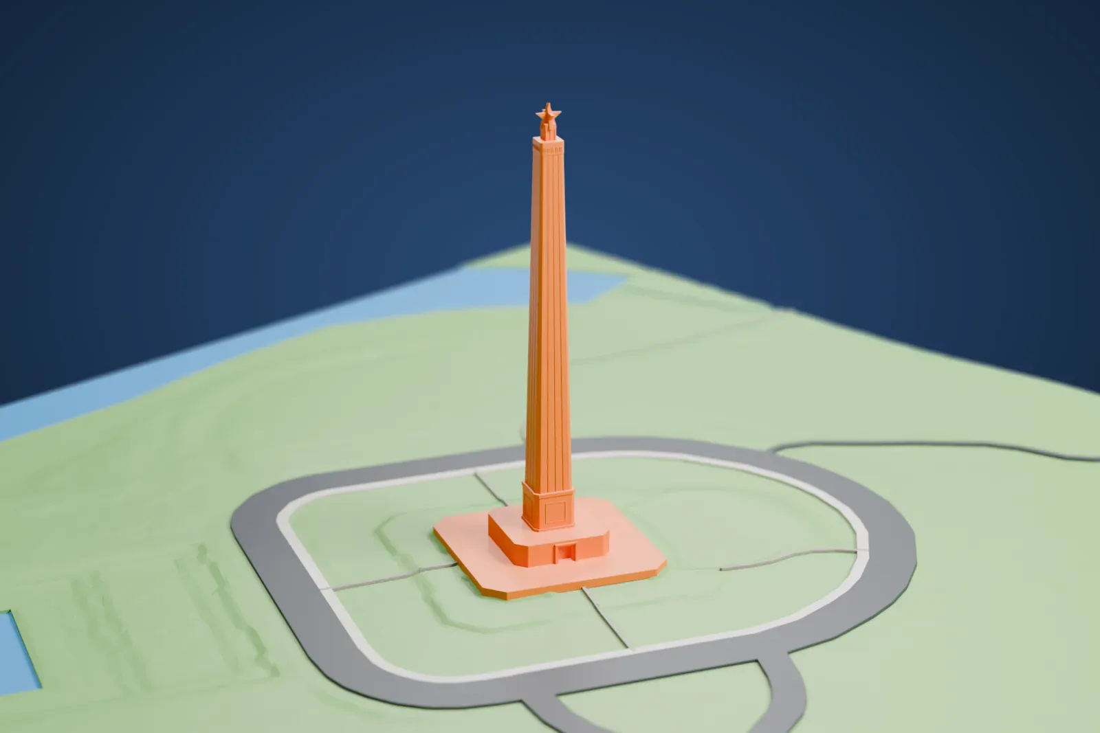
A free, printable 3D model of the San Jacinto Monument with the open green parkland and the looping road around it, generated from real map data in your browser.
-
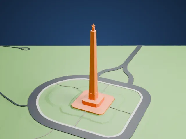 North
-
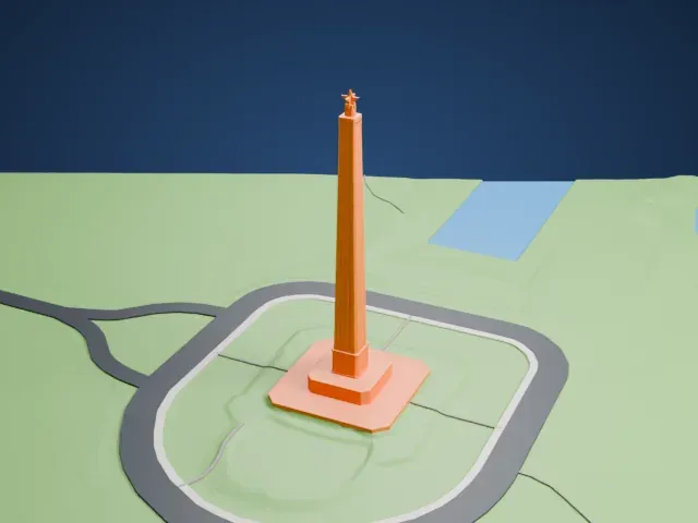 East
-
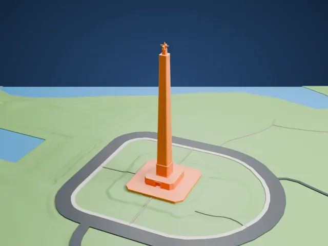 South
-
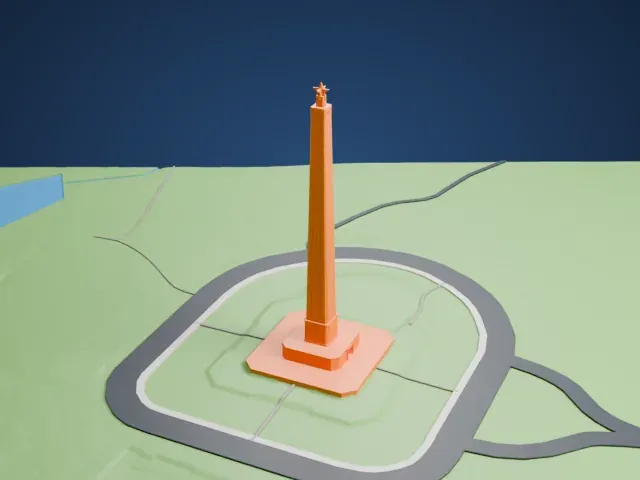 West
The model you print
San Jacinto Monument in 3D
The landmark on its own, at its size on a 160 mm print. Print friendly thickens thin parts for a 0.4 mm nozzle; Full detail keeps every part.
- Real height
- 173 m
- On a 160 mm print
- 47 mm
- Scale
- 1:3,750
173 m of the San Jacinto Monument, 47 mm on your shelf
Make this print opens the generator on a 600 m square around the landmark. Buildings print at close to true scale, so the landmark grows with the print size.
- Slim shaft and Lone Star
The tall, slim shaft and the small star on top are the most delicate parts. Print friendly adapts them to the print scale; printing slowly with good cooling helps the top, and 0.12–0.16 mm layers keep the shaft detail crisp.
- One piece with the ground
The San Jacinto Monument is joined to the ground in the exported file, and the four-side check found no floating parts, so nothing needs gluing.
- Pick the detail for your nozzle
In the Buildings settings, set Landmark detail to Print friendly to adapt thin parts and small details to the print scale. Full detail keeps every modeled feature, for larger prints or a finer nozzle.
- Colors
Buildings, roads, water and ground arrive as separate filament slots in the 3MF. The San Jacinto Monument takes the building color.
- File format
You get a 3MF for Bambu Studio, OrcaSlicer or PrusaSlicer. Any of them can save it as STL if you need one.
About the San Jacinto Monument
The San Jacinto Monument rises 567.31 feet (172.92 m) beside the Houston Ship Channel in Harris County, Texas, in an unincorporated area about 16 miles from downtown Houston. Its octagonal Art Deco spire carries a Lone Star, the symbol of Texas, which weighs 220 tons and stands 34 feet (10 m) high. It memorializes the place where the Battle of San Jacinto was fought, the Texas Revolution's decisive engagement.
Construction ran from 1936 to 1939, and the dedication took place on April 21, 1939. Architect Alfred C. Finn produced the final design, together with engineer Robert J. Cummins, and W.S. Bellows Construction built it, primarily of reinforced concrete faced with Texas limestone. The work took exactly three years and cost $1.5 million, paid for by both the state legislature of Texas and the United States Congress.
It is the tallest masonry column in the world. At 12 feet taller than the Washington Monument, it is also the world's tallest stone monument. An elevator takes visitors up to an observation deck. A reflecting pool measuring 1,750 by 200 feet (533 by 61 m) shows the entire shaft. The base holds a 160-seat theater and the San Jacinto Museum of History.
About this model
The San Jacinto Monument is one of more than 6,500 landmark models in Mini Skyline. They are made with AI, and each one is checked in its real surroundings before release. Each model is written as code from public descriptions, plans, photographs and aerial views used only as references; no image or third-party model is copied into it. Everything around it is built from OpenStreetMap and Overture map data. Rights in the building itself, its name and any brands on it are not granted by Mini Skyline; clear them separately before you sell prints. If you would rather print the shape from map data, turn off Landmark models in the Buildings settings.
Outside the United States this design may still be protected; check the rules where you sell.
Mini Skyline is not affiliated with, or endorsed by, the owners of this building or its names and marks.
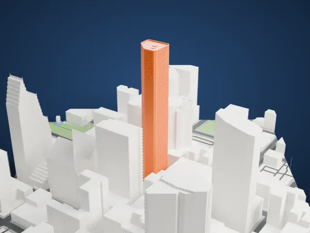
Same skyline