3D print Split Rock Lighthouse
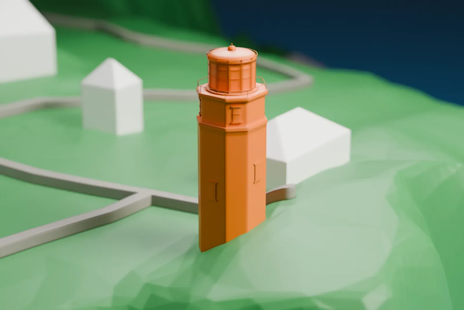
A free, printable model of Split Rock Lighthouse on its green headland beside open water, generated from real map data in your browser.
-
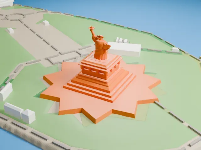
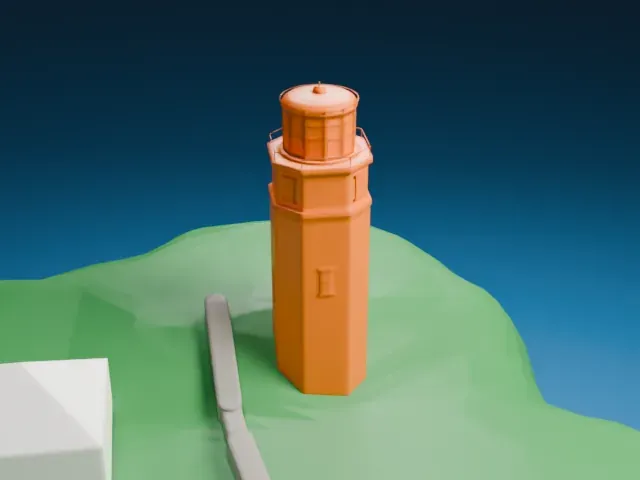 North
-
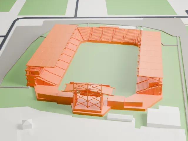
 East
-
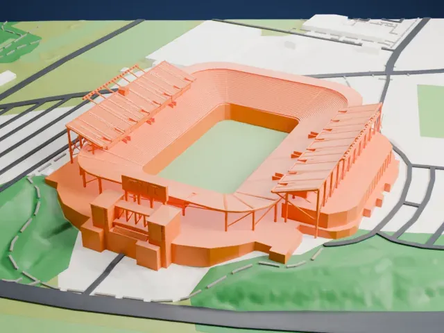
 South
-
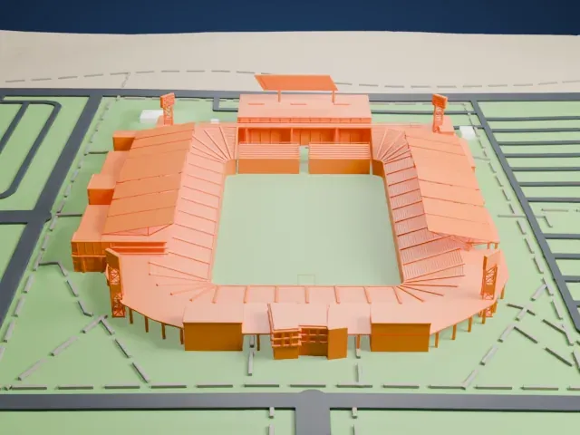
 West
The model you print
Split Rock Lighthouse in 3D
The landmark on its own, at its size on a 160 mm print. Print friendly thickens thin parts for a 0.4 mm nozzle; Full detail keeps every part.
- Real height
- 16 m
- On a 160 mm print
- 5 mm
- Scale
- 1:3,750
16 m of Split Rock Lighthouse, 5 mm on your shelf
Make this print opens the generator on a 600 m square around the landmark. Buildings print at close to true scale, so the landmark grows with the print size.
- Lantern room and railing
The lantern at the top is ringed by a thin railing. Print friendly adapts it to the print scale; Full detail keeps it, best at a larger size with 0.12–0.16 mm layers and slow, cooled printing of the upper tower.
- One piece with the ground
Split Rock Lighthouse is joined to the ground in the exported file, and the four-side check found no floating parts, so nothing needs gluing.
- Pick the detail for your nozzle
In the Buildings settings, set Landmark detail to Print friendly to adapt thin parts and small details to the print scale. Full detail keeps every modeled feature, for larger prints or a finer nozzle.
- Colors
Buildings, roads, water and ground arrive as separate filament slots in the 3MF. Split Rock Lighthouse takes the building color.
- File format
You get a 3MF for Bambu Studio, OrcaSlicer or PrusaSlicer. Any of them can save it as STL if you need one.
About Split Rock Lighthouse
Split Rock Lighthouse is found southwest of Silver Bay, Minnesota, along Lake Superior's North Shore. Lighthouse engineer Ralph Russell Tinkham designed it, and the United States Lighthouse Service finished it in 1910 at a cost of $75,000 for the structures plus the land. It is considered among the country's most picturesque lighthouses.
The tower was a response to the Mataafa Storm of 1905, when Lake Superior cost 29 vessels, either lost or damaged. It sits atop a sheer cliff 133 feet (41 m) high. The octagonal tower has a brick body over a steel frame, with concrete trim, resting on a concrete foundation anchored into the cliff rock. A big steel lantern crowns it, housing a third order, bi-valve Fresnel lens made in Paris. No roads reached the area, so supplies came by water and a crane hoisted them up the cliff. The lamp first shone on July 31, 1910.
The U.S. Coast Guard retired the light in 1969, and its National Register of Historic Places listing came that same year. The lighthouse became a National Historic Landmark on June 30, 2011. Though retired, it emits a light each November 10 to remember the SS Edmund Fitzgerald, a ship that sank on that day in 1975.
About this model
Split Rock Lighthouse is one of more than 6,500 landmark models in Mini Skyline. They are made with AI, and each one is checked in its real surroundings before release. Each model is written as code from public descriptions, plans, photographs and aerial views used only as references; no image or third-party model is copied into it. Everything around it is built from OpenStreetMap and Overture map data. Rights in the building itself, its name and any brands on it are not granted by Mini Skyline; clear them separately before you sell prints. If you would rather print the shape from map data, turn off Landmark models in the Buildings settings.
Outside the United States this design may still be protected; check the rules where you sell.
Mini Skyline is not affiliated with, or endorsed by, the owners of this building or its names and marks.
Keep exploring