3D print St. Matthias' Abbey
A free, printable model of St. Matthias' Abbey, a long church with towers at both ends, set among green grounds and nearby streets, generated from real map data in your browser.
-
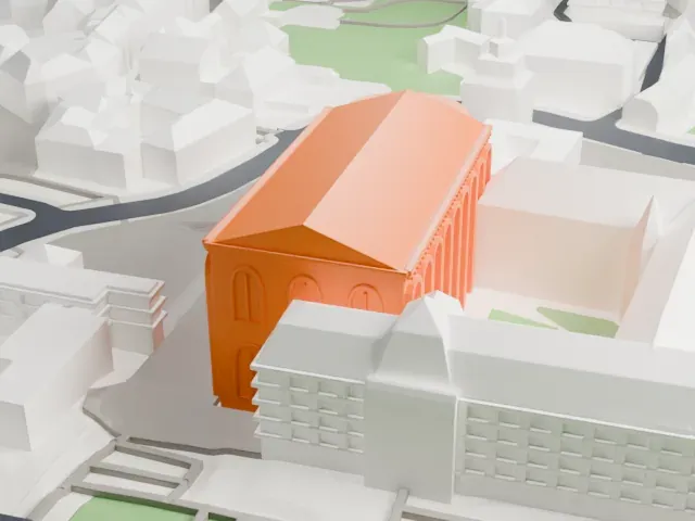
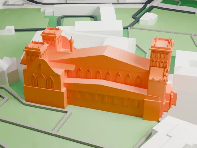 North
-
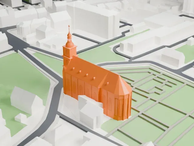
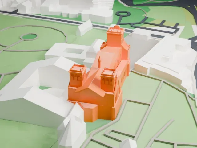 East
-
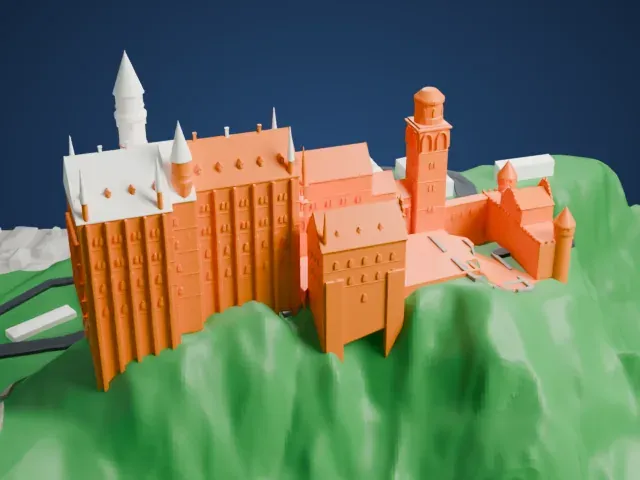
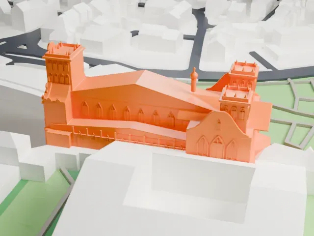 South
-
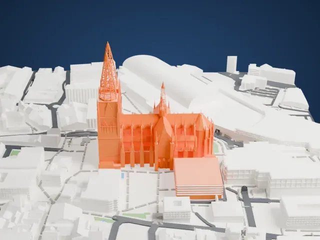
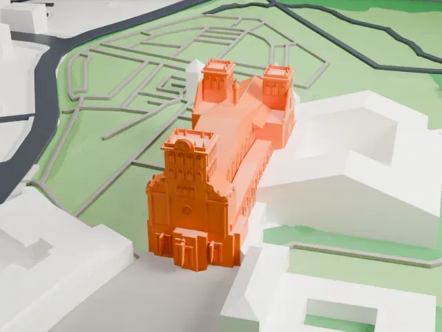 West
The model you print
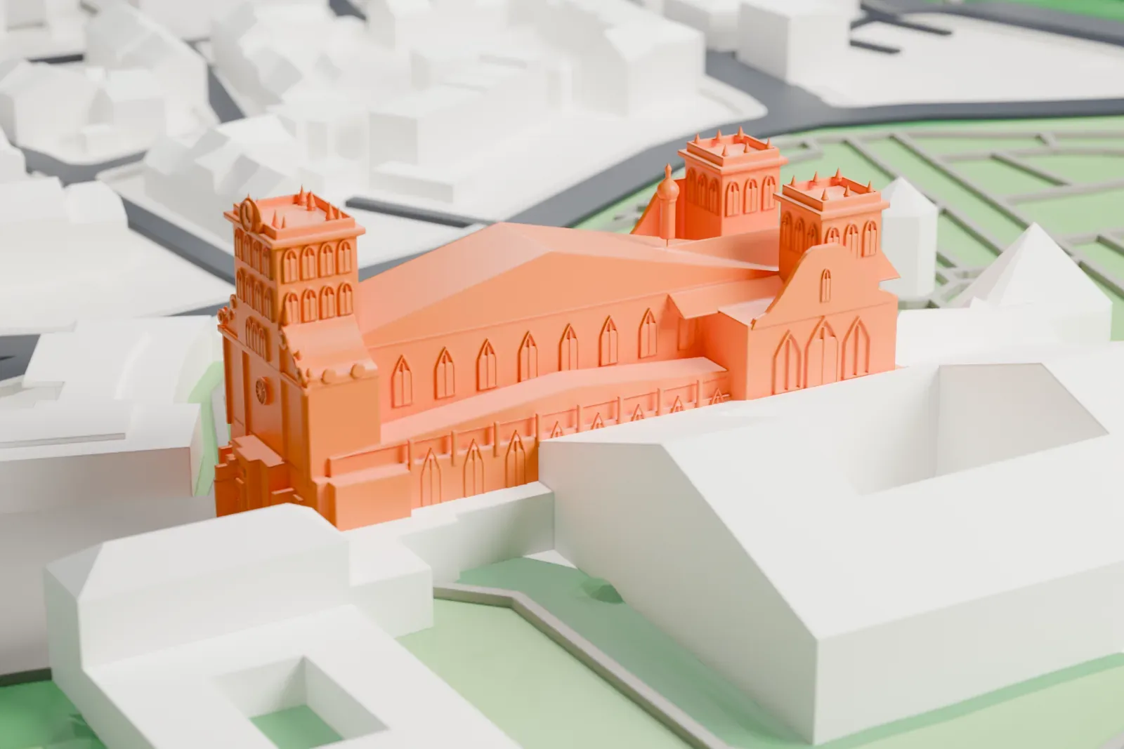
St. Matthias' Abbey in 3D
The landmark on its own, at its size on a 160 mm print. Print friendly thickens thin parts for a 0.4 mm nozzle; Full detail keeps every part.
- On a 160 mm print
- 10 mm
- Scale
- 1:3,750
10 mm tall on a 160 mm print
Make this print opens the generator on a 600 m square around the landmark. Buildings print at close to true scale, so the landmark grows with the print size.
- Towers with small pinnacles
The towers carry small pinnacles and one slim turret. Print friendly adapts these thin tips to the print scale; Full detail keeps them on a larger print.
- Long nave with tall windows
The long roof and the rows of narrow windows are fine detail. A layer height of 0.12–0.16 mm keeps them crisp.
- One piece with the ground
St. Matthias' Abbey is joined to the ground in the exported file, and the four-side check found no floating parts, so nothing needs gluing.
- Pick the detail for your nozzle
In the Buildings settings, set Landmark detail to Print friendly to adapt thin parts and small details to the print scale. Full detail keeps every modeled feature, for larger prints or a finer nozzle.
- Colors
Buildings, roads, water and ground arrive as separate filament slots in the 3MF. St. Matthias' Abbey takes the building color.
- File format
You get a 3MF for Bambu Studio, OrcaSlicer or PrusaSlicer. Any of them can save it as STL if you need one.
About St. Matthias' Abbey
In Trier (Rhineland-Palatinate, Germany) stands St. Matthias' Abbey, a Benedictine monastery of the Congregation of the Annunciation. Pilgrims come to its Romanesque basilica, which is renowned because it holds the grave of the Apostle Saint Matthias, buried there since the 12th century. No other apostle is buried in Germany or anywhere north of the Alps. The church has the status of a minor basilica.
Monks have lived on the site since late antiquity. The abbey was first named for Saint Eucharius, the first Bishop of Trier; his tomb lies in the crypt. In 1127, while the church that preceded the present one was being torn down, the bones of the Apostle Matthias came to light, and the abbey has been a major pilgrimage center since then. The basilica was dedicated on January 13, 1148.
The basilica serves as the parish church, as the church of the Benedictine community, as a pilgrimage church built around the tomb of Saint Matthias, and as the burial church of Trier's first bishops, Eucharius and Valerius. Around 1500 the crypt gained its eastern part, and later a Baroque facade was put on the lower part of the west front.
About this model
St. Matthias' Abbey is one of more than 6,500 landmark models in Mini Skyline. They are made with AI, and each one is checked in its real surroundings before release. Each model is written as code from public descriptions, plans, photographs and aerial views used only as references; no image or third-party model is copied into it. Everything around it is built from OpenStreetMap and Overture map data. Rights in the building itself, its name and any brands on it are not granted by Mini Skyline; clear them separately before you sell prints. If you would rather print the shape from map data, turn off Landmark models in the Buildings settings.
Mini Skyline is not affiliated with, or endorsed by, the owners of this building or its names and marks.
Keep exploring