3D print Taq Kasra
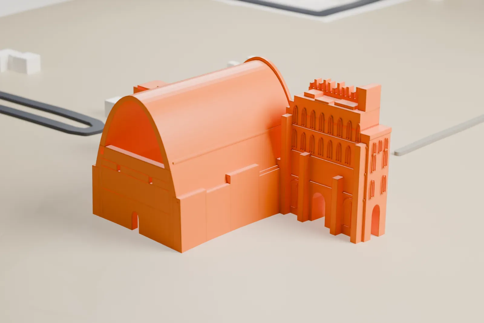
A free, printable model of Taq Kasra, the great vaulted archway, on open ground with a road and a few buildings nearby, generated from real map data in your browser.
-
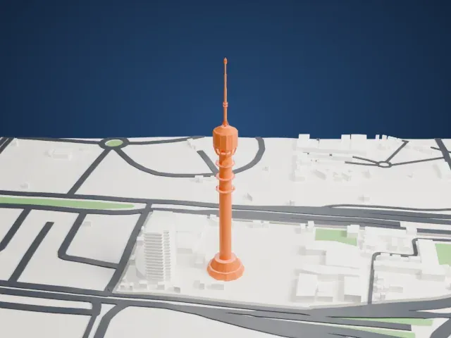
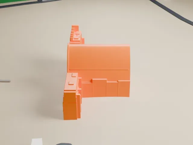 North
-
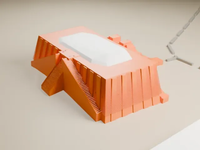
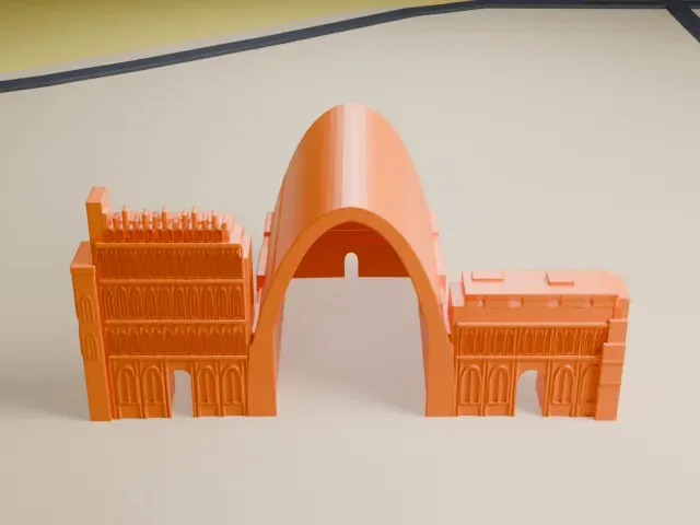 East
-
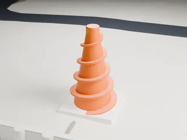
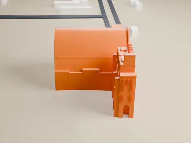 South
-
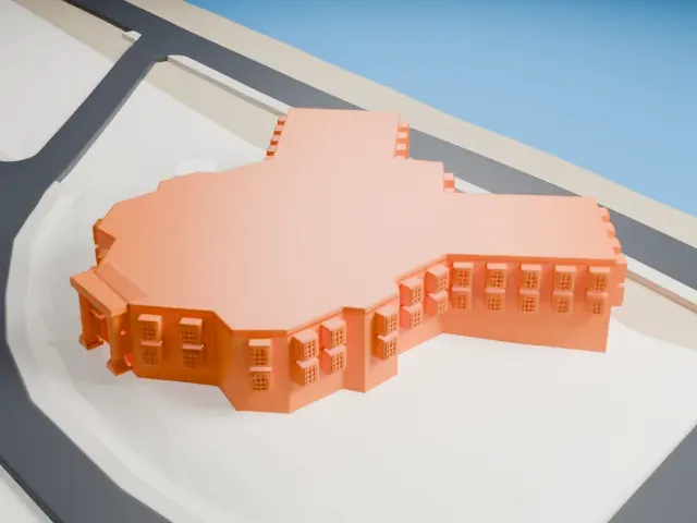
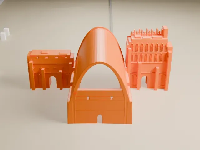 West
The model you print
Taq Kasra in 3D
The landmark on its own, at its size on a 160 mm print. Print friendly thickens thin parts for a 0.4 mm nozzle; Full detail keeps every part.
- On a 160 mm print
- 11 mm
- Scale
- 1:3,750
11 mm tall on a 160 mm print
Make this print opens the generator on a 600 m square around the landmark. Buildings print at close to true scale, so the landmark grows with the print size.
- A wide, smooth vault
The model is dominated by one broad curved vault. A layer height of 0.12–0.16 mm keeps the curve smooth, and a larger print size shows the stepped walls beside it more clearly.
- Stepped wing and small openings
The side wing has small stepped blocks and arched openings. Print friendly adapts these small details to the print scale; Full detail keeps them for a larger print.
- One piece with the ground
Taq Kasra is joined to the ground in the exported file, and the four-side check found no floating parts, so nothing needs gluing.
- Pick the detail for your nozzle
In the Buildings settings, set Landmark detail to Print friendly to adapt thin parts and small details to the print scale. Full detail keeps every modeled feature, for larger prints or a finer nozzle.
- Colors
Buildings, roads, water and ground arrive as separate filament slots in the 3MF. Taq Kasra takes the building color.
- File format
You get a 3MF for Bambu Studio, OrcaSlicer or PrusaSlicer. Any of them can save it as STL if you need one.
About Taq Kasra
Taq Kasra, also spelled Taq-i Kisra and Taq-e Kesra, is what survives of a Persian monument from the Sasanian era, dated to roughly the 3rd to 6th centuries. People sometimes call it the Arch of Ctesiphon. It lies close to Salman Pak, a town in Iraq, and once formed the facade of the main palace at Ctesiphon. It is the only structure still visible from that ancient capital city.
The archway is regarded as a landmark in architectural history. Among single-span vaults of unreinforced brick, only Iran's Gavmishan Bridge is bigger, worldwide. The arched hall, an iwan open at the front, rose about 37 m (121 ft), measured 26 m (85 ft) across and ran 50 m (160 ft) deep, making it the biggest free-standing vault built by people before modern times. Its builders used no centring and laid the bricks about 18 degrees from the vertical, so that the rear wall partly held them up.
Nobody knows exactly when it was built. Some historians credit Shapur I, a Sasanian ruler between 242 and 272 AD, while others think work possibly began under Khosrow I, after fighting the Byzantines in 540 AD. Muslim Arab forces took it in 637 when Ctesiphon fell, and for a time it served as a mosque. In 1888 a heavy flood destroyed most of the structure.
About this model
Taq Kasra is one of more than 6,500 landmark models in Mini Skyline. They are made with AI, and each one is checked in its real surroundings before release. Each model is written as code from public descriptions, plans, photographs and aerial views used only as references; no image or third-party model is copied into it. Everything around it is built from OpenStreetMap and Overture map data. Rights in the building itself, its name and any brands on it are not granted by Mini Skyline; clear them separately before you sell prints. If you would rather print the shape from map data, turn off Landmark models in the Buildings settings.
Mini Skyline is not affiliated with, or endorsed by, the owners of this building or its names and marks.
Keep exploring