3D print the West Virginia State Capitol
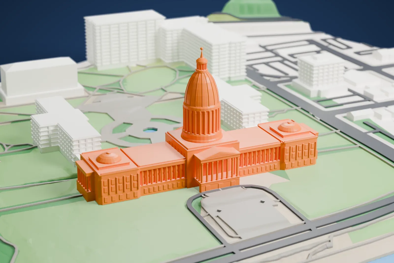
A free, printable model of the West Virginia State Capitol, its tall central dome and two smaller domes, with the lawns, nearby buildings and river around it, generated from real map data in your browser.
-
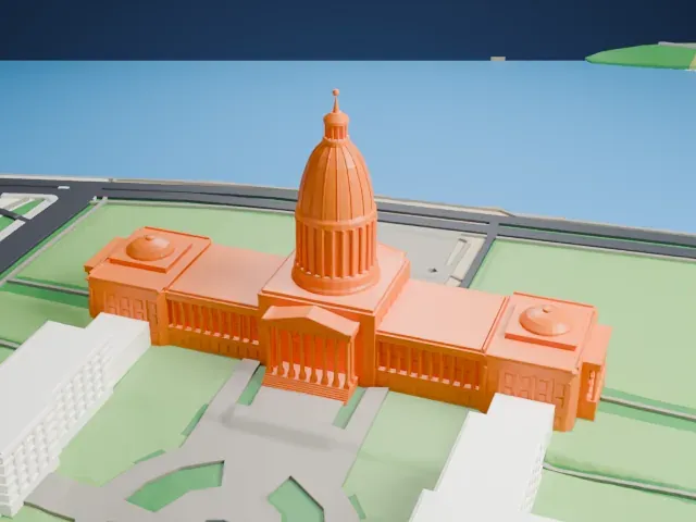 North
-
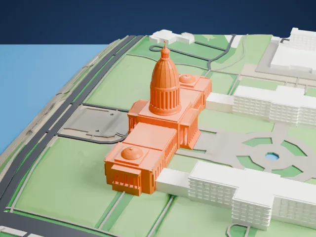 East
-
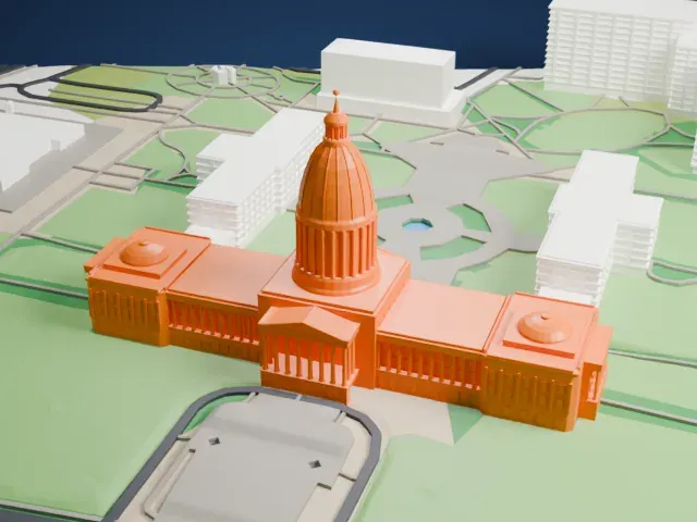 South
-
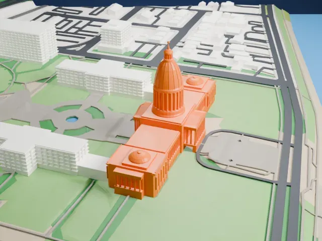 West
The model you print
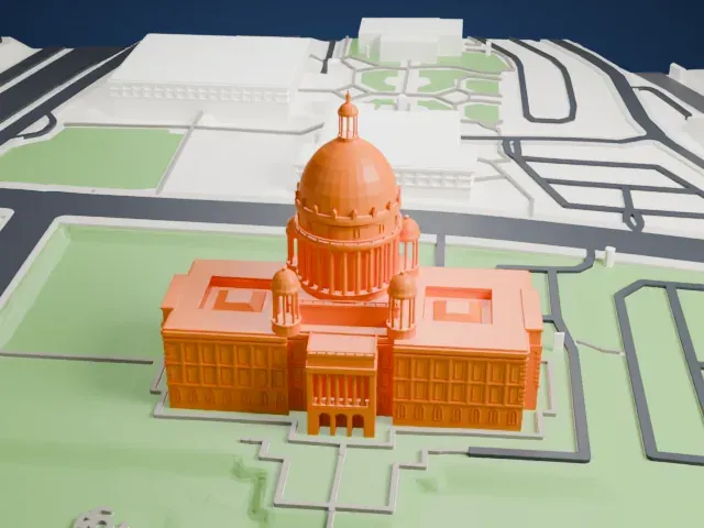
West Virginia State Capitol in 3D
The landmark on its own, at its size on a 160 mm print. Print friendly thickens thin parts for a 0.4 mm nozzle; Full detail keeps every part.
- On a 160 mm print
- 24 mm
- Scale
- 1:3,750
24 mm tall on a 160 mm print
Make this print opens the generator on a 600 m square around the landmark. Buildings print at close to true scale, so the landmark grows with the print size.
- Tall dome and two small domes
The central dome has a lantern with a small finial on top, and the two end wings carry smaller domes. Print friendly adapts the lantern and finial to the print scale; Full detail keeps them, best at larger sizes.
- One piece with the ground
The West Virginia State Capitol is joined to the ground in the exported file, and the four-side check found no floating parts, so nothing needs gluing.
- Pick the detail for your nozzle
In the Buildings settings, set Landmark detail to Print friendly to adapt thin parts and small details to the print scale. Full detail keeps every modeled feature, for larger prints or a finer nozzle.
- Colors
Buildings, roads, water and ground arrive as separate filament slots in the 3MF. The West Virginia State Capitol takes the building color.
- File format
You get a 3MF for Bambu Studio, OrcaSlicer or PrusaSlicer. Any of them can save it as STL if you need one.
About the West Virginia State Capitol
The West Virginia State Capitol is where the state government sits, with the Legislature and the Governor's office under its roof. It is in Charleston, and Cass Gilbert designed it; it was dedicated in 1932. With the Executive Mansion, it makes up the Capitol Complex, a historic district in the National Register of Historic Places.
Before the Civil War, the counties that became West Virginia were part of Virginia. The State of West Virginia was created on June 20, 1863. Choosing a capital proved hard: the seat of government moved repeatedly between Wheeling and Charleston for several years, until voters chose Charleston on August 7, 1877.
The earlier capitols included a Charleston building begun in 1869, designed by Leroy S. Buffington and mixing French Baroque with Second Empire and High Victorian Gothic design. A large Second Empire building by Joseph S. Fairfax followed in Wheeling in 1876. The second Charleston capitol was started in 1880 from plans by Andrew Peebles, and it was completed in 1885 as a picturesque High Victorian Gothic building.
About this model
The West Virginia State Capitol is one of more than 6,500 landmark models in Mini Skyline. They are made with AI, and each one is checked in its real surroundings before release. Each model is written as code from public descriptions, plans, photographs and aerial views used only as references; no image or third-party model is copied into it. Everything around it is built from OpenStreetMap and Overture map data. Rights in the building itself, its name and any brands on it are not granted by Mini Skyline; clear them separately before you sell prints. If you would rather print the shape from map data, turn off Landmark models in the Buildings settings.
Outside the United States this design may still be protected; check the rules where you sell.
Mini Skyline is not affiliated with, or endorsed by, the owners of this building or its names and marks.
Keep exploring