3D print Winchester Castle
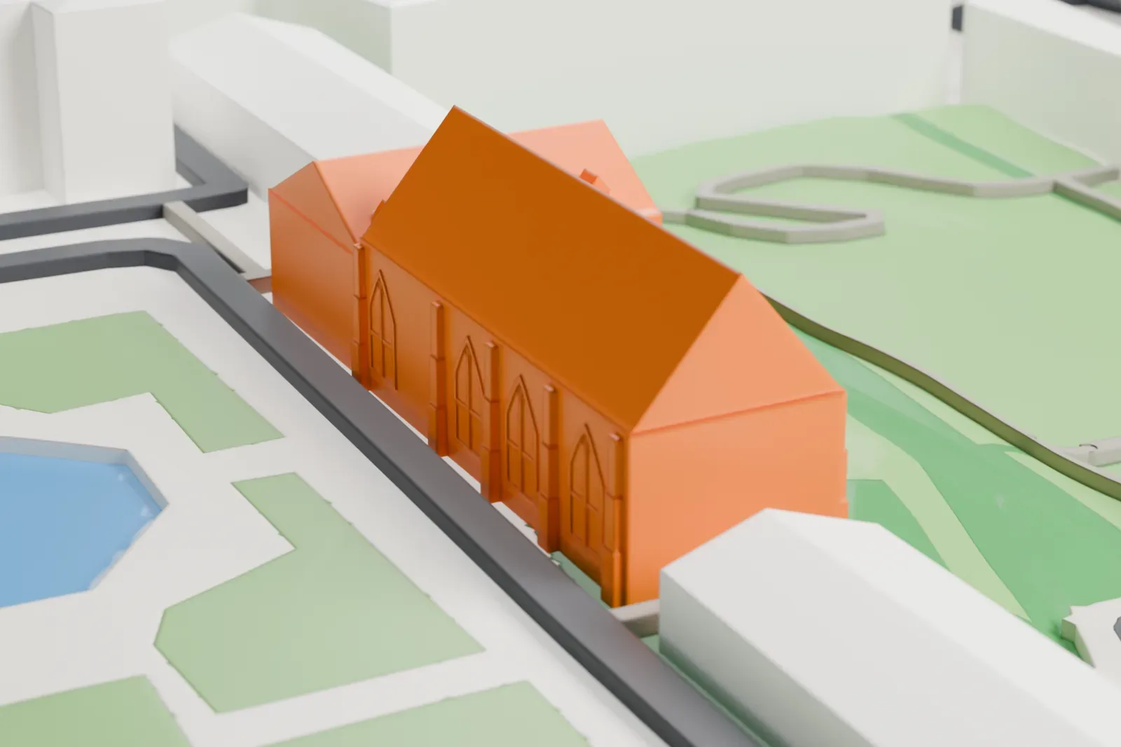
A free, printable model of Winchester Castle's long pitched-roof hall and the streets, buildings and green space around it, generated from real map data in your browser.
-
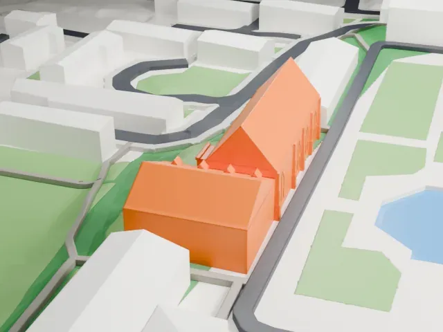 North
-
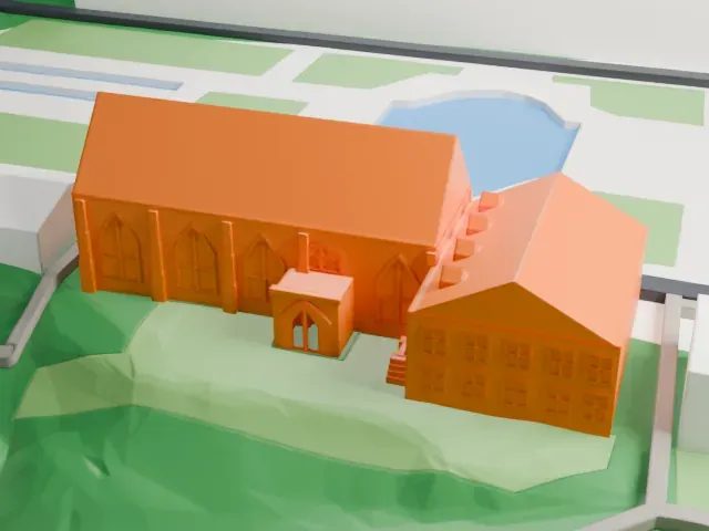 East
-
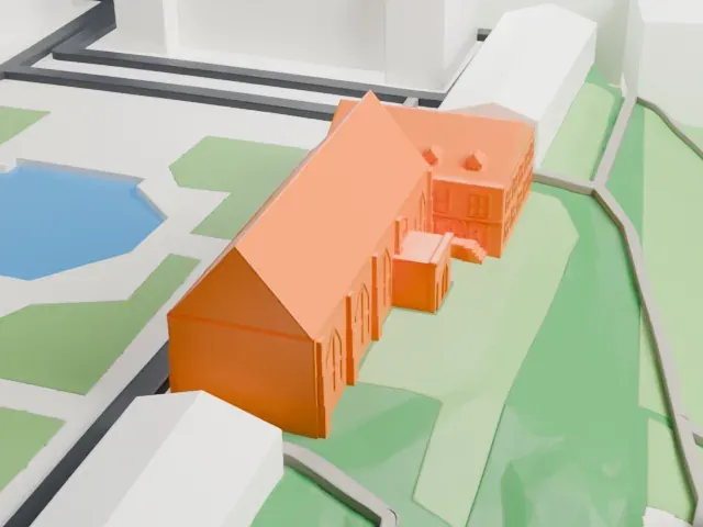 South
-
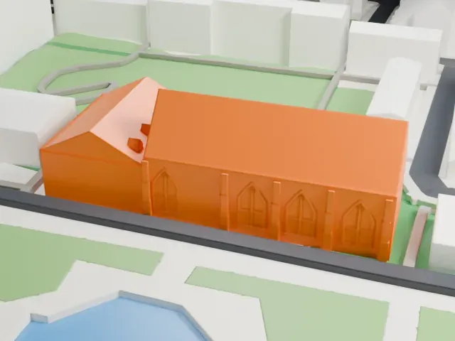 West
The model you print
Winchester Castle in 3D
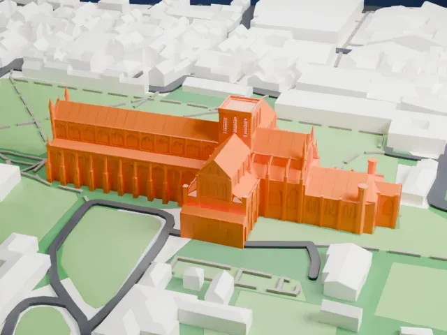
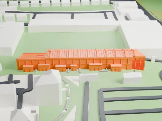
The landmark on its own, at its size on a 160 mm print. Print friendly thickens thin parts for a 0.4 mm nozzle; Full detail keeps every part.
- On a 160 mm print
- 5 mm
- Scale
- 1:3,750
5 mm tall on a 160 mm print
Make this print opens the generator on a 600 m square around the landmark. Buildings print at close to true scale, so the landmark grows with the print size.
- Tall pointed windows
The tall narrow windows and slim buttresses along the long wall are small at print scale. Print friendly adapts them; Full detail keeps them at a larger print size with 0.12-0.16 mm layers.
- One piece with the ground
Winchester Castle is joined to the ground in the exported file, and the four-side check found no floating parts, so nothing needs gluing.
- Pick the detail for your nozzle
In the Buildings settings, set Landmark detail to Print friendly to adapt thin parts and small details to the print scale. Full detail keeps every modeled feature, for larger prints or a finer nozzle.
- Colors
Buildings, roads, water and ground arrive as separate filament slots in the 3MF. Winchester Castle takes the building color.
- File format
You get a 3MF for Bambu Studio, OrcaSlicer or PrusaSlicer. Any of them can save it as STL if you need one.
About Winchester Castle
William the Conqueror founded Winchester Castle in 1067 as a royal residence in the city of Winchester in Hampshire, England. Around AD 70 the Romans had built a massive earth rampart and a fort on the site, which William chose for among the earliest Norman castles in England. For more than a century it housed the government of the Norman kings, and in the medieval period it was a center of royal power.
Most of the castle is gone, yet two significant structures remain. The Great Hall is regarded as one of England's finest medieval halls to survive. The Westgate was once the castle's principal defensive gateway. Henry III, who was born at the castle, added the Great Hall between 1222 and 1235 in a "double cube" design measuring 33.53 m (110 ft) by 16.76 m (55 ft) by 16.76 m (55 ft). It was built from flint, with stone dressings, and is a Grade I listed building.
A large wooden tabletop known as the Round Table, traditionally linked with the Arthurian legend, hangs in the Great Hall. It was first made in the 13th century and repainted for Henry VIII. On November 17, 1603, Sir Walter Raleigh stood trial for treason in the hall. The Royalists used the castle in the English Civil War, and it fell to the Parliamentarians in 1646, after which Oliver Cromwell ordered its demolition in 1649.
About this model
Winchester Castle is one of more than 6,500 landmark models in Mini Skyline. They are made with AI, and each one is checked in its real surroundings before release. Each model is written as code from public descriptions, plans, photographs and aerial views used only as references; no image or third-party model is copied into it. Everything around it is built from OpenStreetMap and Overture map data. Rights in the building itself, its name and any brands on it are not granted by Mini Skyline; clear them separately before you sell prints. If you would rather print the shape from map data, turn off Landmark models in the Buildings settings.
Mini Skyline is not affiliated with, or endorsed by, the owners of this building or its names and marks.
Keep exploring