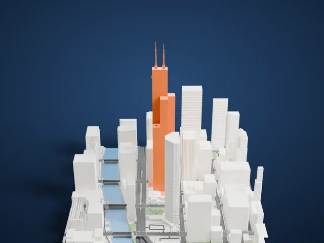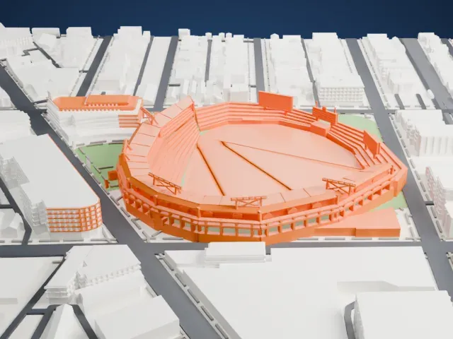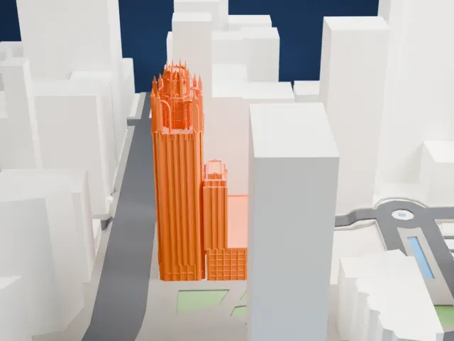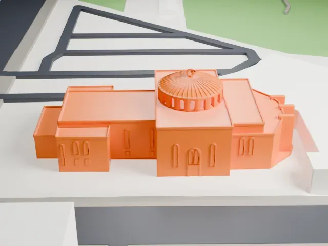
3D print Chicago Union Station
A free, printable model of Chicago Union Station, set among tall buildings, streets and the river, generated from real map data in your browser.
-
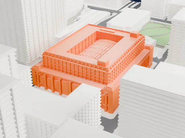 North
-
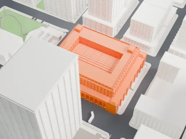 East
-
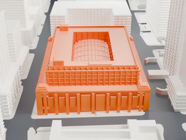 South
-
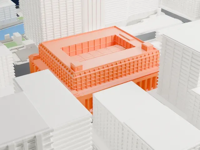 West
The model you print
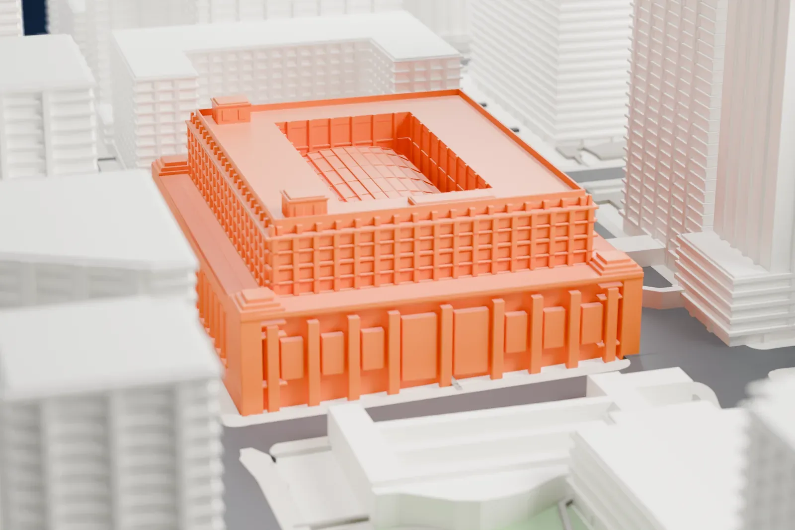
Chicago Union Station in 3D
The landmark on its own, at its size on a 160 mm print. Print friendly thickens thin parts for a 0.4 mm nozzle; Full detail keeps every part.
- On a 160 mm print
- 13 mm
- Scale
- 1:3,750
13 mm tall on a 160 mm print
Make this print opens the generator on a 600 m square around the landmark. Buildings print at close to true scale, so the landmark grows with the print size.
- A low building among towers
The station sits low between tall neighboring buildings, so its details are small. A larger print size keeps more of them, and a layer height of 0.12–0.16 mm helps them stay crisp.
- One piece with the ground
Chicago Union Station is joined to the ground in the exported file, and the four-side check found no floating parts, so nothing needs gluing.
- Pick the detail for your nozzle
In the Buildings settings, set Landmark detail to Print friendly to adapt thin parts and small details to the print scale. Full detail keeps every modeled feature, for larger prints or a finer nozzle.
- Colors
Buildings, roads, water and ground arrive as separate filament slots in the 3MF. Chicago Union Station takes the building color.
- File format
You get a 3MF for Bambu Studio, OrcaSlicer or PrusaSlicer. Any of them can save it as STL if you need one.
About Chicago Union Station
Chicago Union Station is a terminal for intercity and commuter trains, in the West Loop part of Chicago's Near West Side, United States. It lies just west of the river, on the stretch from West Adams Street to West Jackson Boulevard, beside the Chicago Loop. As a union station, it follows a pattern seen at many American stations, which several railroad companies shared, and it is the third union station on its site.
Opened in 1925, the present station took the place of an 1881 union station on that site. Its Beaux-Arts facades are made of Bedford limestone. The interior features Corinthian columns of massive size, floors of marble, and a Great Hall accented with brass lamps.
Including its approach and storage tracks, the complex spans roughly nine and a half city blocks, much of it below ground, under streets and skyscrapers, some of them among the earliest uses of railway air rights. The underground concourse and train sheds adjoin the Chicago River, and passageways run west under Canal Street to the main building, a block away. The Milwaukee Road railroad kept its corporate offices in the station from 1924 to 1986.
About this model
Chicago Union Station is one of more than 6,500 landmark models in Mini Skyline. They are made with AI, and each one is checked in its real surroundings before release. Each model is written as code from public descriptions, plans, photographs and aerial views used only as references; no image or third-party model is copied into it. Everything around it is built from OpenStreetMap and Overture map data. Rights in the building itself, its name and any brands on it are not granted by Mini Skyline; clear them separately before you sell prints. If you would rather print the shape from map data, turn off Landmark models in the Buildings settings.
Outside the United States this design may still be protected; check the rules where you sell.
Mini Skyline is not affiliated with, or endorsed by, the owners of this building or its names and marks.
Same skyline