3D print the Jewish Center of Kings Highway
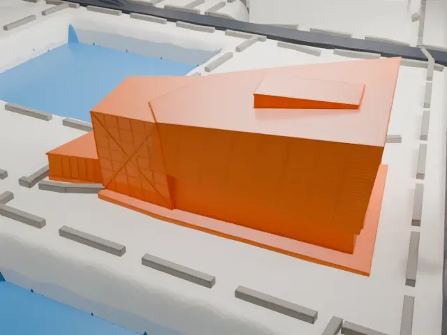
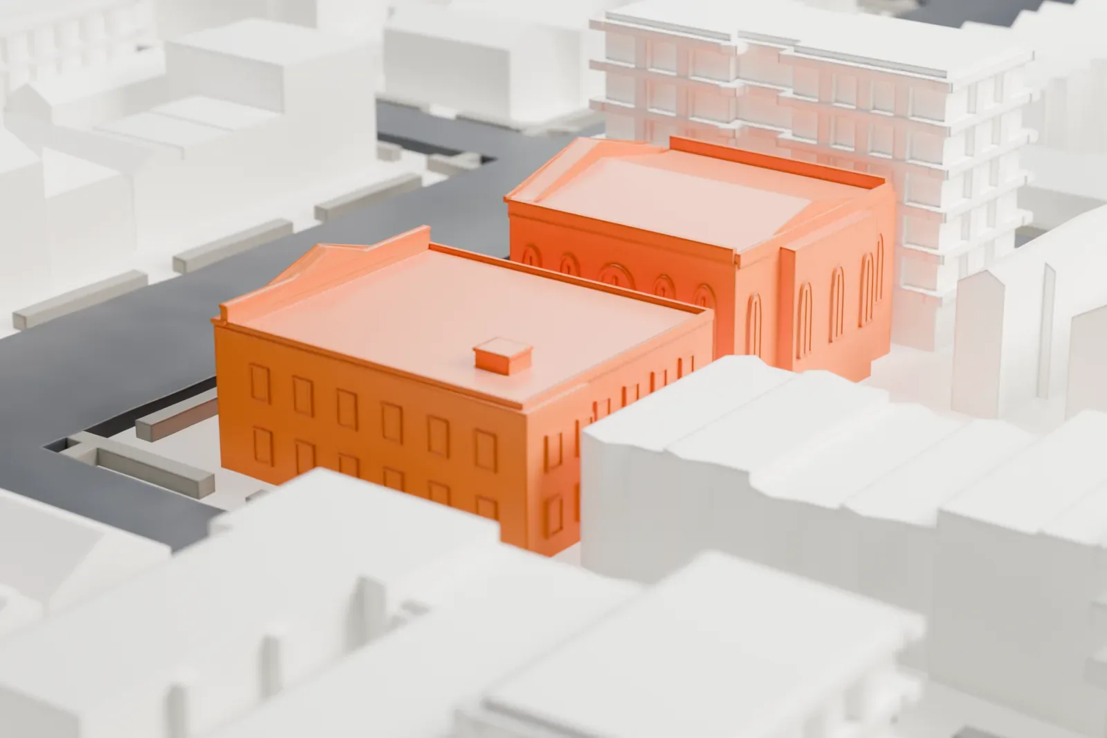
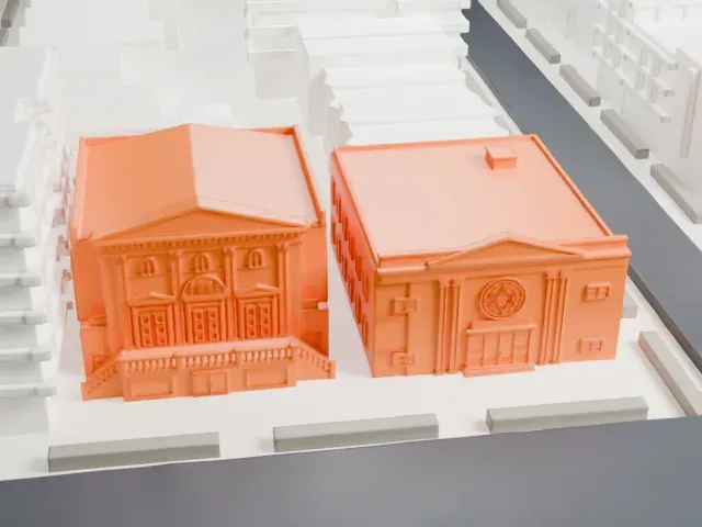
A free, printable model of the Jewish Center of Kings Highway, two low buildings, one with a columned, pedimented front, on a Brooklyn block, generated from real map data in your browser.
-
 North
-
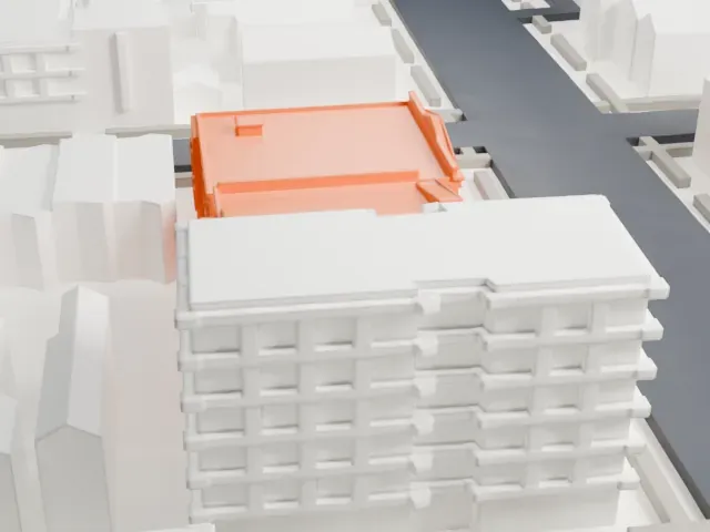 East
-
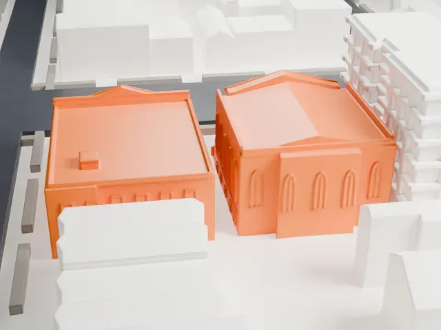 South
-
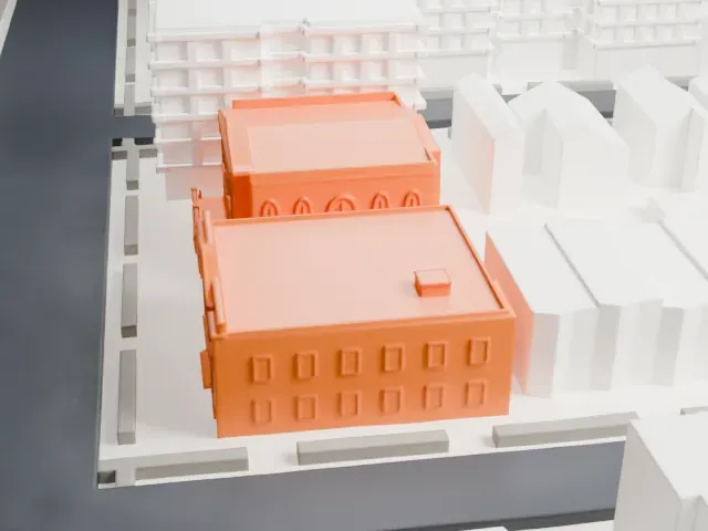 West
- On a 160 mm print
- 4 mm
- Scale
- 1:3,750
4 mm tall on a 160 mm print
Make this print opens the generator on a 600 m square around the landmark. Buildings print at close to true scale, so the landmark grows with the print size.
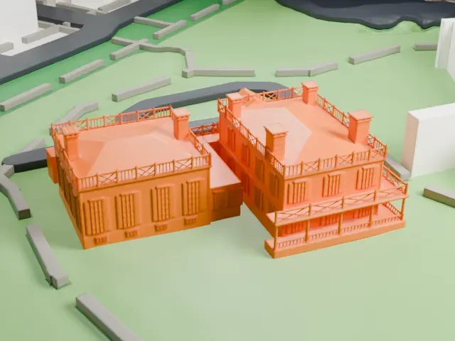
- Columned front and steps
The front has a pedimented gable, tall piers and a run of entrance steps. Print friendly adapts these small parts to the print scale; Full detail keeps them on a larger print with a layer height of 0.12-0.16 mm.
- Low buildings, small print
Both buildings are low, so the print stays small. A bigger print size keeps the window rows and rooftop boxes from blurring.
- One piece with the ground
The Jewish Center of Kings Highway is joined to the ground in the exported file, and the four-side check found no floating parts, so nothing needs gluing.
- Pick the detail for your nozzle
In the Buildings settings, set Landmark detail to Print friendly to adapt thin parts and small details to the print scale. Full detail keeps every modeled feature, for larger prints or a finer nozzle.
- Colors
Buildings, roads, water and ground arrive as separate filament slots in the 3MF. The Jewish Center of Kings Highway takes the building color.
- File format
You get a 3MF for Bambu Studio, OrcaSlicer or PrusaSlicer. Any of them can save it as STL if you need one.
About the Jewish Center of Kings Highway
On Avenue P in Brooklyn's Midwood section, at numbers 1202-1218, stands the Jewish Center of Kings Highway, a former Conservative synagogue. It started out as a synagogue and school named Beth HaKnesseth Talmud Torah of Kings Highway, the first part meaning House of Assembly. A first building was put up from 1920 to 1922, at 1202-1210 Avenue P. By 1924 the synagogue had taken the name Jewish Center of Kings Highway, while the school kept the earlier title.
The congregation followed the Jewish community center plan, a model whose first example was formed in Manhattan in 1917. From 1928 to 1930, led by Rabbi Jacob J. Newman, with Nathaniel J. Levine as synagogue president, it raised a new Neoclassical synagogue at the same location, on a somewhat bigger site. Zoning variances were needed because of the share of the lot the building covers. The dedication weekend ran from March 28 to 30, 1930. The brick-faced building has two stories plus a basement, and its temple front is cast stone with four engaged Corinthian piers.
The Center also built a school building on the property in 1949. In 1963 the United Synagogue of America, the national Conservative movement, expelled the congregation for refusing to drop bingo as a fund-raising practice. A National Register of Historic Places listing for the former synagogue dates from 2010.
About this model
The Jewish Center of Kings Highway is one of more than 4,300 landmark models in Mini Skyline. They are made with AI, and each one is checked from four sides in its real surroundings before release. Everything around it is built from OpenStreetMap and Overture map data. If you would rather print the shape from map data, turn off Landmark models in the Buildings settings.
Same skyline