3D print Rumelihisarı
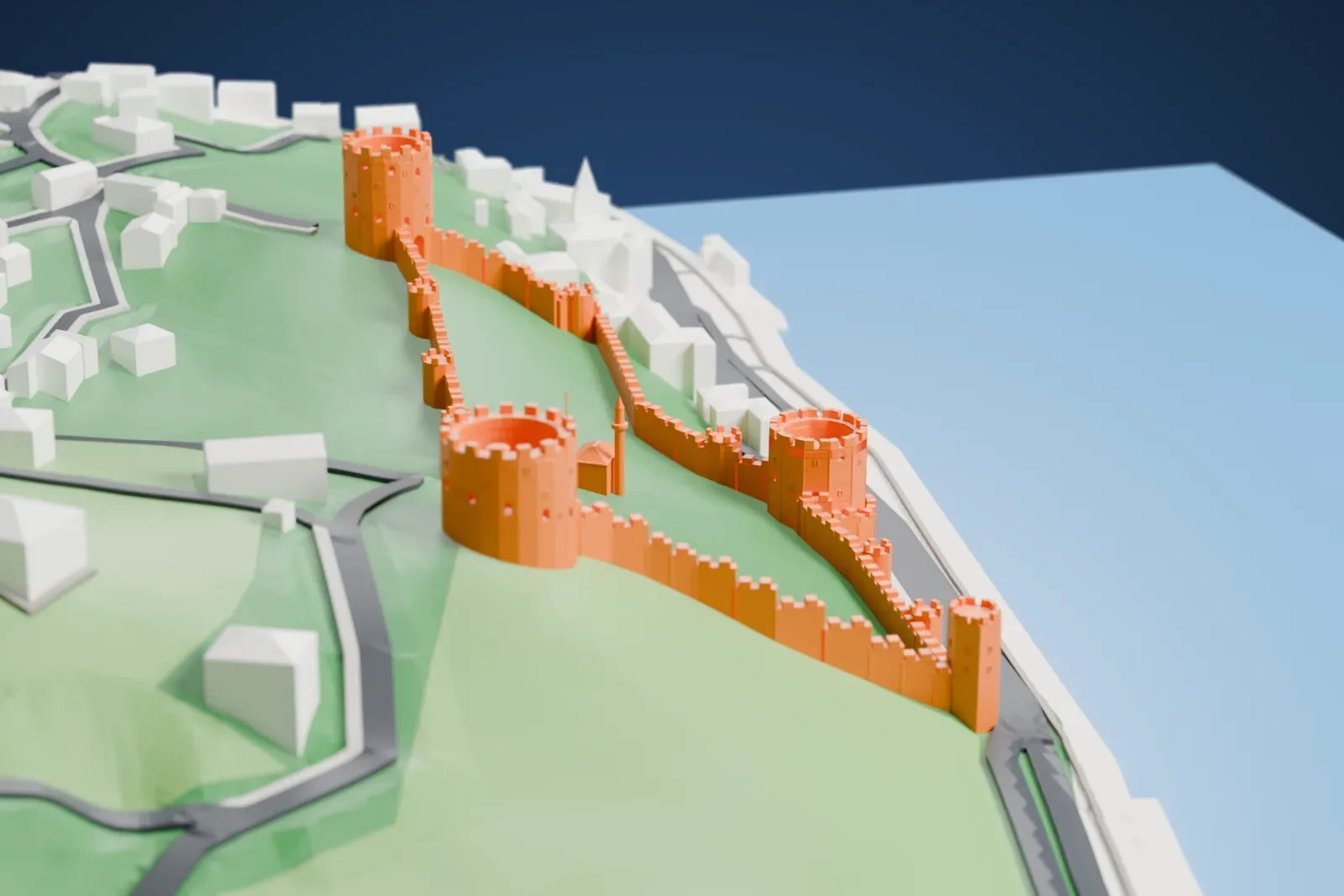
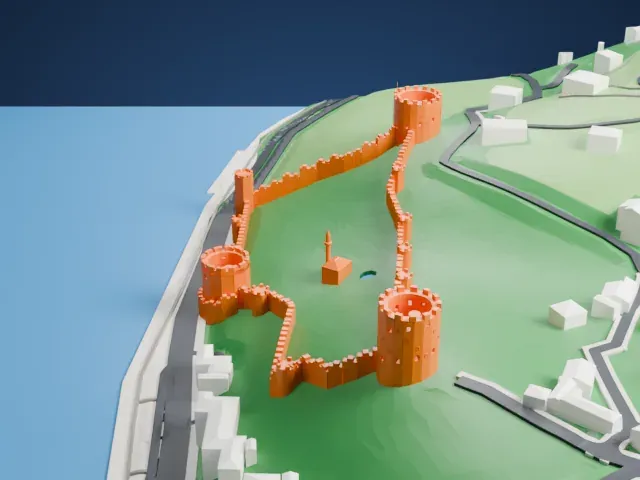
A free, printable model of Rumelihisarı, its round towers and crenellated walls, and the hillside, roads and waterfront beside it, generated from real map data in your browser.
-
 North
-
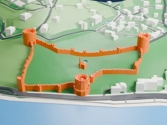 East
-
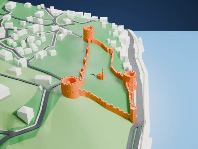 South
-
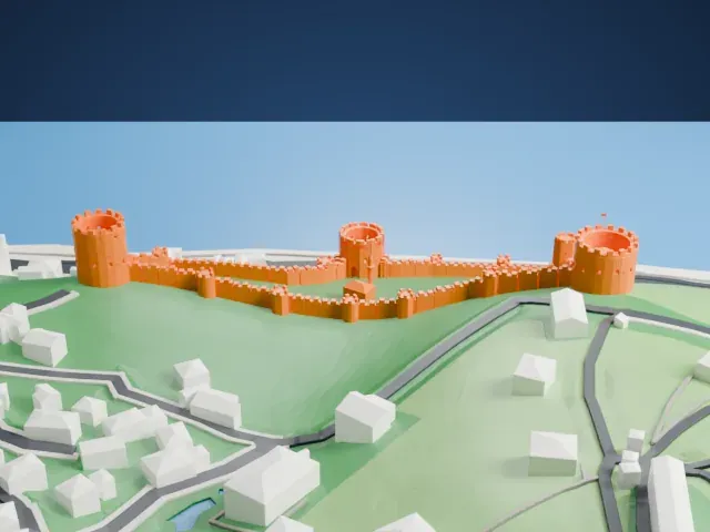 West
The model you print
Rumelihisarı in 3D
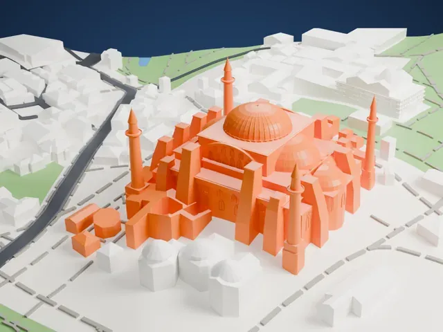
The landmark on its own, at its size on a 160 mm print. Print friendly thickens thin parts for a 0.4 mm nozzle; Full detail keeps every part.
- On a 160 mm print
- 23 mm
- Scale
- 1:3,750
23 mm tall on a 160 mm print
Make this print opens the generator on a 600 m square around the landmark. Buildings print at close to true scale, so the landmark grows with the print size.
- Crenellated walls and towers
The walls and towers carry rows of small battlements. Print friendly adapts these to the print scale; Full detail keeps every battlement on a larger print, with a 0.12-0.16 mm layer height.
- Thin curtain walls
The long connecting walls are slim next to the big round towers. A larger print size keeps them sturdy; print slowly so the long thin runs stay clean.
- One piece with the ground
Rumelihisarı is joined to the ground in the exported file, and the four-side check found no floating parts, so nothing needs gluing.
- Pick the detail for your nozzle
In the Buildings settings, set Landmark detail to Print friendly to adapt thin parts and small details to the print scale. Full detail keeps every modeled feature, for larger prints or a finer nozzle.
- Colors
Buildings, roads, water and ground arrive as separate filament slots in the 3MF. Rumelihisarı takes the building color.
- File format
You get a 3MF for Bambu Studio, OrcaSlicer or PrusaSlicer. Any of them can save it as STL if you need one.
About Rumelihisarı
Rumelihisarı, also called the Rumelian Fortress and Boğazkesen Fortress ("strait-cutter" in English), is a medieval Ottoman stronghold in Istanbul. It occupies a string of hills on the European shore of the Bosphorus. Sultan Mehmed II ordered it built between 1451 and 1452, as preparation for an attack on the Byzantine city of Constantinople, and work started on April 15, 1452.
The site is the narrowest point of the Bosphorus, only 660 meters (2,170 ft) across. It lies directly opposite Anadoluhisarı, an older Ottoman fortress that Sultan Bayezid I built in 1393-1394. The two fortresses worked together during the final siege to choke off naval traffic. The fortress has three main towers, each named after the vizier who supervised its building, one small tower, and thirteen small watchtowers on the connecting walls.
The north tower, Sarıca Pasha Tower, is cylindrical, 23.30 m (76.4 ft) across, with nine stories reaching 28 m (92 ft). The waterfront Halil Pasha Tower has nine stories as a twelve-sided prism, 22 m (72 ft) high. The south tower, Zağanos Pasha Tower, has eight stories and is 21 m (69 ft) high. The curtain walls run 250 m (820 ft) from north to south, and the complex covers 31,250 m² (336,372 sq ft). After the conquest the fortress was a customs checkpoint and, from time to time, a prison. Since 1960 it has been a museum.
About this model
Rumelihisarı is one of more than 6,500 landmark models in Mini Skyline. They are made with AI, and each one is checked in its real surroundings before release. Each model is written as code from public descriptions, plans, photographs and aerial views used only as references; no image or third-party model is copied into it. Everything around it is built from OpenStreetMap and Overture map data. Rights in the building itself, its name and any brands on it are not granted by Mini Skyline; clear them separately before you sell prints. If you would rather print the shape from map data, turn off Landmark models in the Buildings settings.
Mini Skyline is not affiliated with, or endorsed by, the owners of this building or its names and marks.
Same skyline