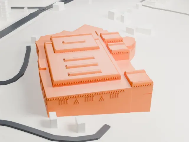
Temple of Kalabsha in 3D
The Temple of Kalabsha appears in city models you make here; its design may still be protected, so it isn't offered as a separate download.
-
 North
-
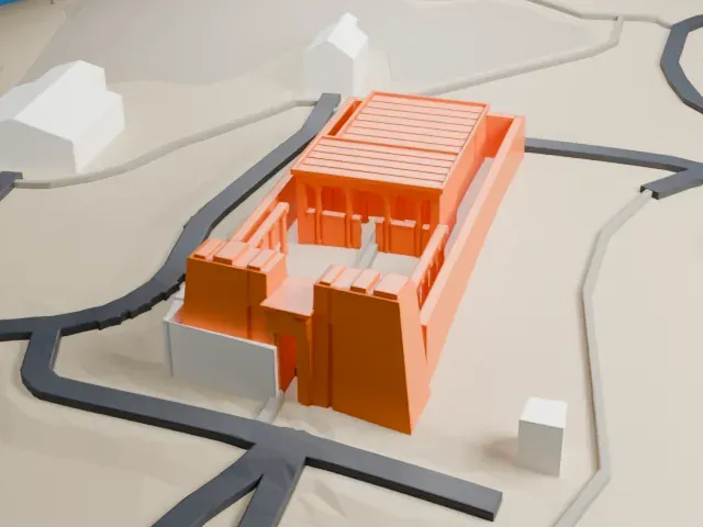 East
-
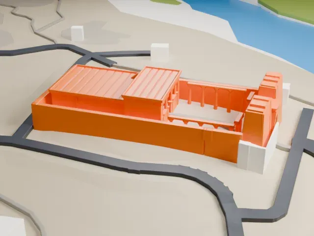 South
-
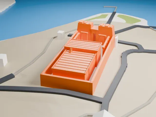 West
Copyright notice
The design of Temple of Kalabsha may still be protected by copyright. It appears in the city models you make here, but it is not offered as a separate model.
- On a 160 mm print
- 5 mm
- Scale
- 1:3,750
5 mm tall on a 160 mm print
Make this print opens the generator on a 600 m square around the landmark. Buildings print at close to true scale, so the landmark grows with the print size.
- Columned court
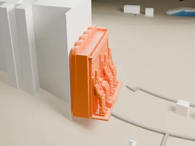
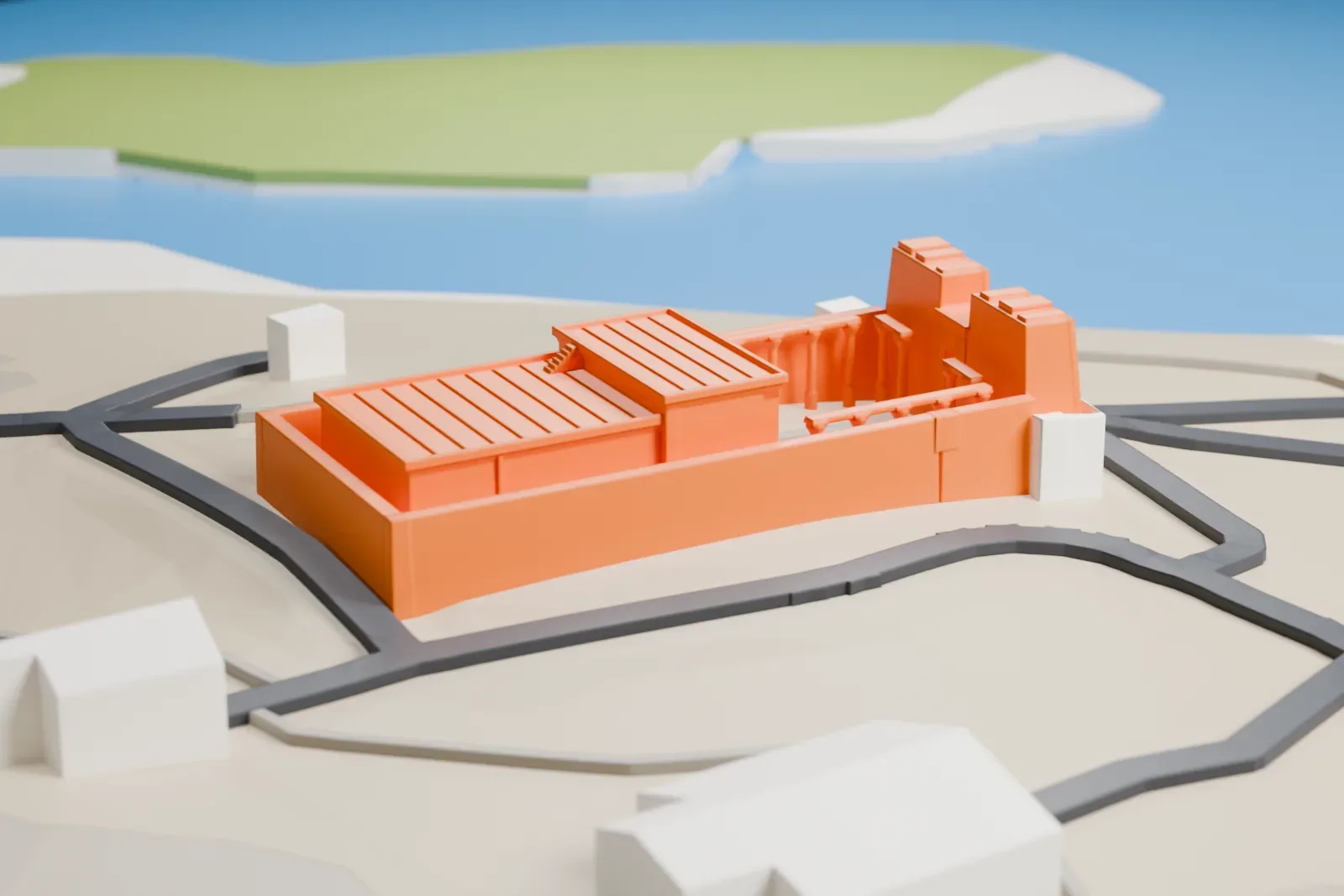
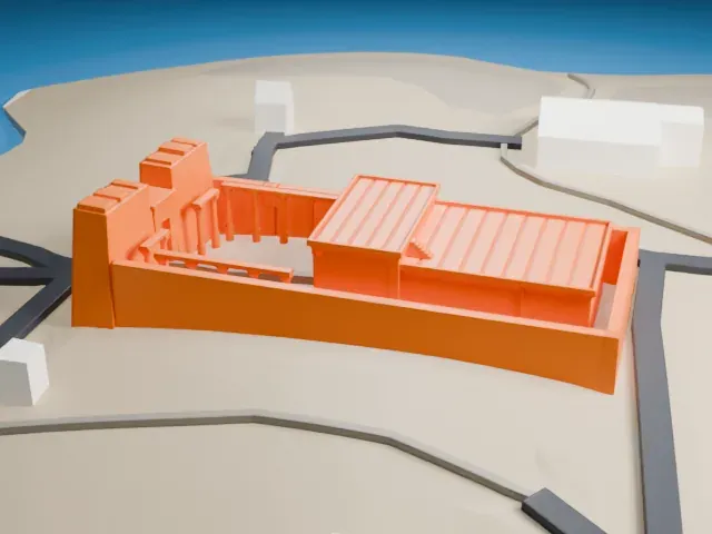
A row of thin columns lines the open court behind the pylon gateway. Print friendly adapts these thin parts to the print scale; Full detail keeps them for large prints or a fine nozzle.
- Low temple, big terrain
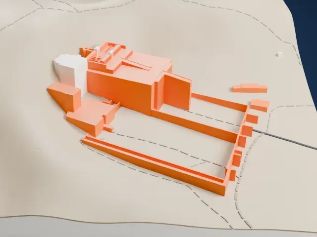
The temple is low against wide, sloping ground. A bigger print size keeps the stepped pylon, the ridged roofs and the columns readable.
- One piece with the ground
The Temple of Kalabsha is joined to the ground in the exported file, and the four-side check found no floating parts, so nothing needs gluing.
- Pick the detail for your nozzle
In the Buildings settings, set Landmark detail to Print friendly to adapt thin parts and small details to the print scale. Full detail keeps every modeled feature, for larger prints or a finer nozzle.
- Colors
Buildings, roads, water and ground arrive as separate filament slots in the 3MF. The Temple of Kalabsha takes the building color.
- File format
You get a 3MF for Bambu Studio, OrcaSlicer or PrusaSlicer. Any of them can save it as STL if you need one.
About the Temple of Kalabsha
The Temple of Kalabsha, also called the Temple of Mandulis, is an ancient Egyptian temple honoring Mandulis, a Lower Nubian sun god. It first stood at Bab al-Kalabsha, on the Nile's west bank, approximately 50 km south of Aswan. Built around 30 BC in the reign of Augustus, early in the Roman era, it was never finished, yet it is counted among Nubia's best examples of Egyptian architecture.
The temple is 76 m in length and 22 m in width. Its walls carry fine reliefs and inscriptions, among them a decree of AD 250 by the Roman governor Aurelius Besarion banning pigs from the temple and a record of the Nubian king Silko's victory over the Blemmyes. In Christian times the building served as a church.
When the Aswan High Dam threatened to drown it beneath Lake Nasser, West Germany paid for and organized its rescue, with the construction company Hochtief doing the work. Each of its 13,000 blocks was numbered, cut free and carried by barge to New Kalabsha, 50 kilometers (31 mi) to the north, where it was rebuilt between October 1962 and October 1963. In 1979 it joined the UNESCO World Heritage List together with other Nubian monuments.
About this model
The Temple of Kalabsha is one of more than 6,500 landmark models in Mini Skyline. They are made with AI, and each one is checked in its real surroundings before release. Each model is written as code from public descriptions, plans, photographs and aerial views used only as references; no image or third-party model is copied into it. Everything around it is built from OpenStreetMap and Overture map data. Rights in the building itself, its name and any brands on it are not granted by Mini Skyline; clear them separately before you sell prints. If you would rather print the shape from map data, turn off Landmark models in the Buildings settings.
Mini Skyline is not affiliated with, or endorsed by, the owners of this building or its names and marks.
Keep exploring