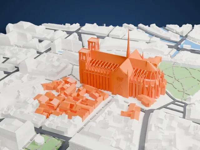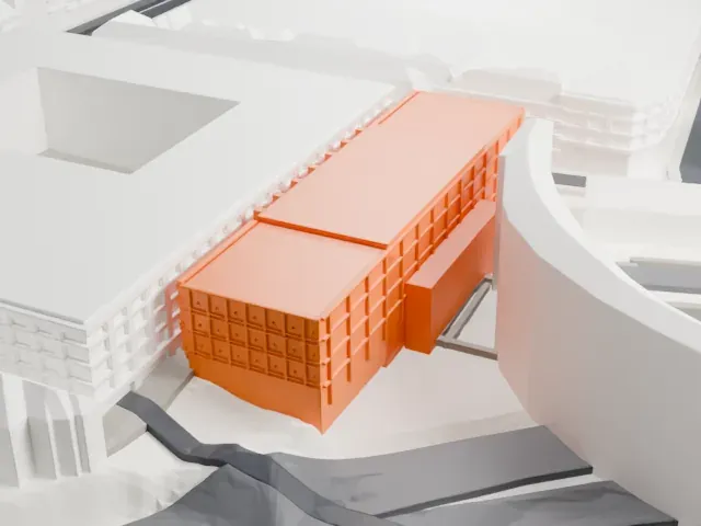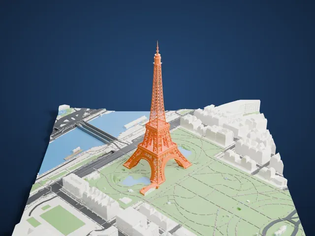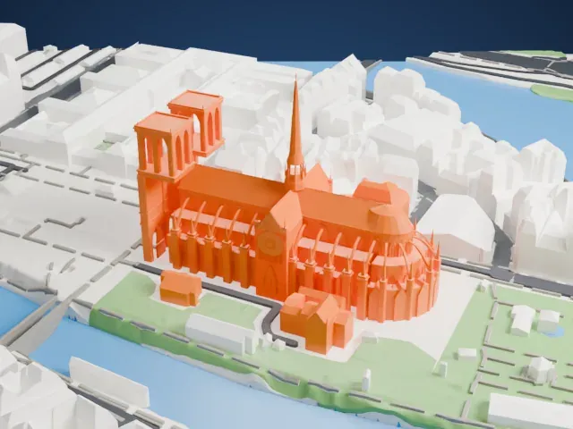
Thiepval Memorial in 3D
The Thiepval Memorial appears in city models you make here; its design may still be protected, so it isn't offered as a separate download.
-
 North
-
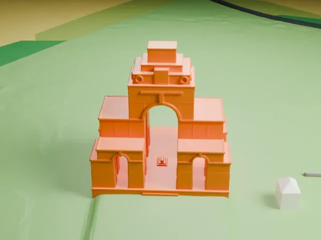 East
-
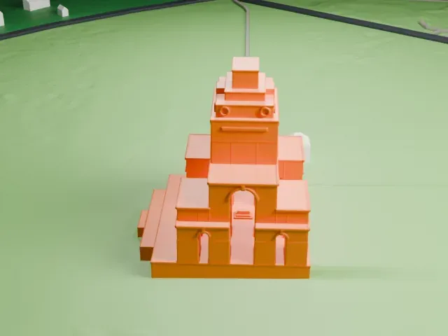 South
-
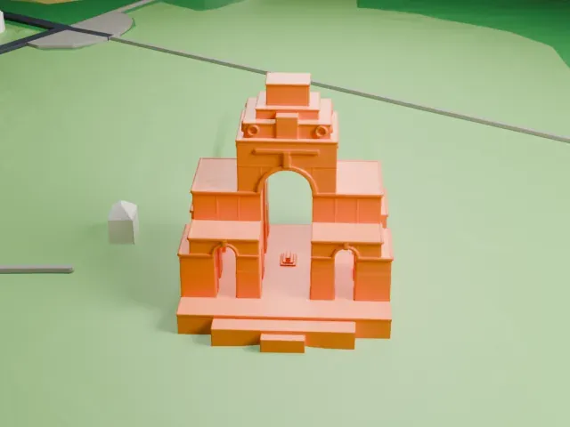 West
Copyright notice
The design of Thiepval Memorial may still be protected by copyright. It appears in the city models you make here, but it is not offered as a separate model.
- Real height
- 43 m
- On a 160 mm print
- 12 mm
- Scale
- 1:3,750
43 m of the Thiepval Memorial, 12 mm on your shelf
Make this print opens the generator on a 600 m square around the landmark. Buildings print at close to true scale, so the landmark grows with the print size.
- Stepped tower and nested arches
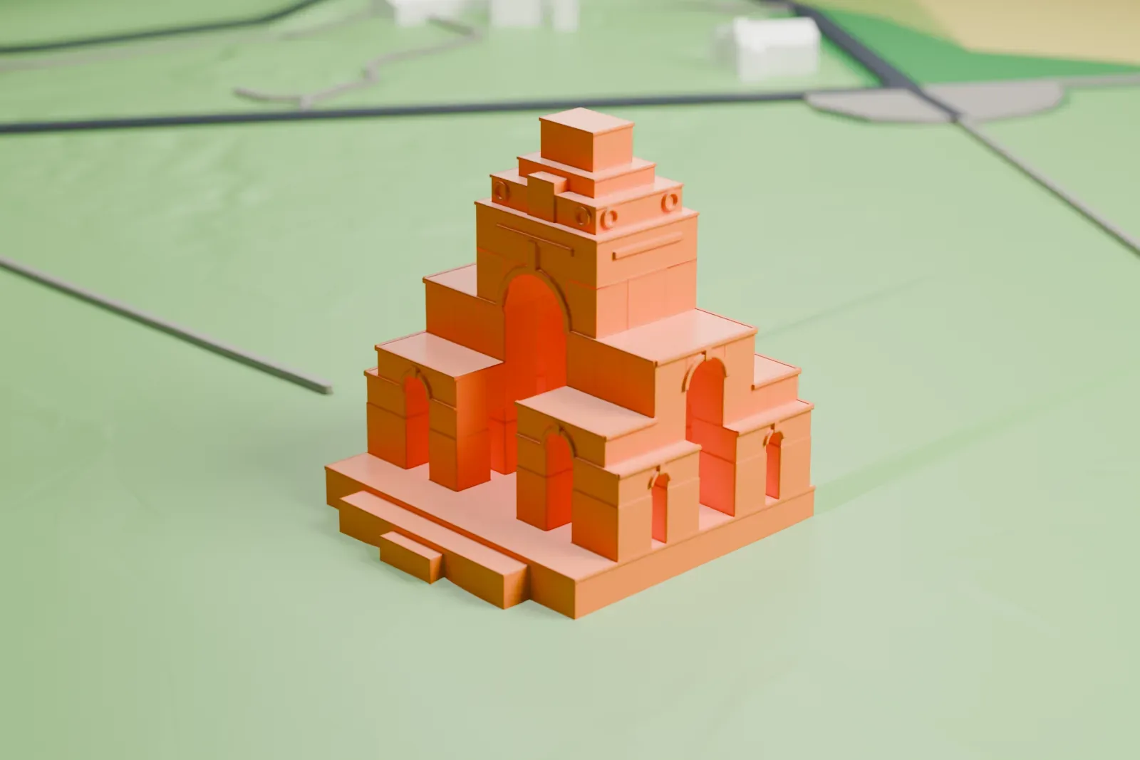
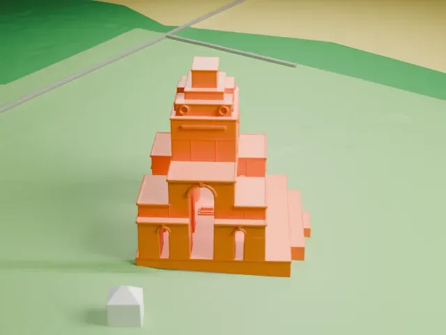
The memorial is a stack of arches topped by a stepped tower. Landmark detail set to Print friendly keeps the small arches and ledges printable, and Full detail on a larger print keeps them distinct.
- One piece with the ground
The Thiepval Memorial is joined to the ground in the exported file, and the four-side check found no floating parts, so nothing needs gluing.
- Pick the detail for your nozzle
In the Buildings settings, set Landmark detail to Print friendly to adapt thin parts and small details to the print scale. Full detail keeps every modeled feature, for larger prints or a finer nozzle.
- Colors
Buildings, roads, water and ground arrive as separate filament slots in the 3MF. The Thiepval Memorial takes the building color.
- File format
You get a 3MF for Bambu Studio, OrcaSlicer or PrusaSlicer. Any of them can save it as STL if you need one.
About the Thiepval Memorial
The Thiepval Memorial, a war memorial for the missing of the Somme, stands near the village of Thiepval in Picardy, France. It honors British and South African servicemen with no known grave who fell in the Somme battles of the First World War. Over 72,000 names are engraved on its Portland stone piers, naming men lost between July 1915 and March 1918.
Sir Edwin Lutyens designed the memorial, which was built from 1928 to 1932 and is the world's largest Commonwealth memorial to the missing. The Prince of Wales inaugurated it on August 1, 1932, with Albert Lebrun, the President of France, present. The memorial has 16 brick piers with a Portland stone facing and rises 140 ft (43 m) above the level of its podium. In 1973 it received a new facing of Accrington brick. Its foundations are 19 ft (5.8 m) thick, a depth needed because of the extensive tunnelling dug beneath it during the war.
The structure is a complex memorial arch built from interlocking arches in four sizes. A smaller arch pierces each side of the main arch, and each of those is pierced by a smaller one still. A tower surmounts the main arch, and the central space holds a Stone of Remembrance set on a platform of three steps. Lutyens's geometry arose from the attempt to display the names in compact form.
About this model
The Thiepval Memorial is one of more than 6,500 landmark models in Mini Skyline. They are made with AI, and each one is checked in its real surroundings before release. Each model is written as code from public descriptions, plans, photographs and aerial views used only as references; no image or third-party model is copied into it. Everything around it is built from OpenStreetMap and Overture map data. Rights in the building itself, its name and any brands on it are not granted by Mini Skyline; clear them separately before you sell prints. If you would rather print the shape from map data, turn off Landmark models in the Buildings settings.
Mini Skyline is not affiliated with, or endorsed by, the owners of this building or its names and marks.
Keep exploring