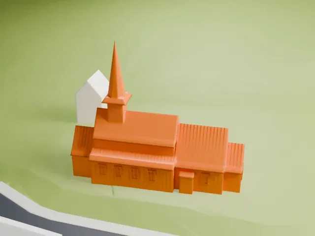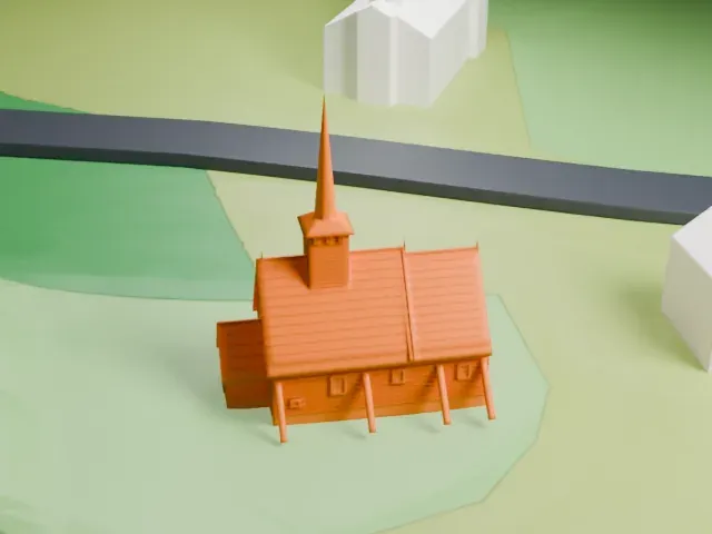
3D print Uvdal Stave Church
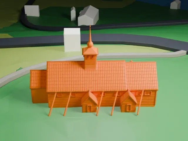
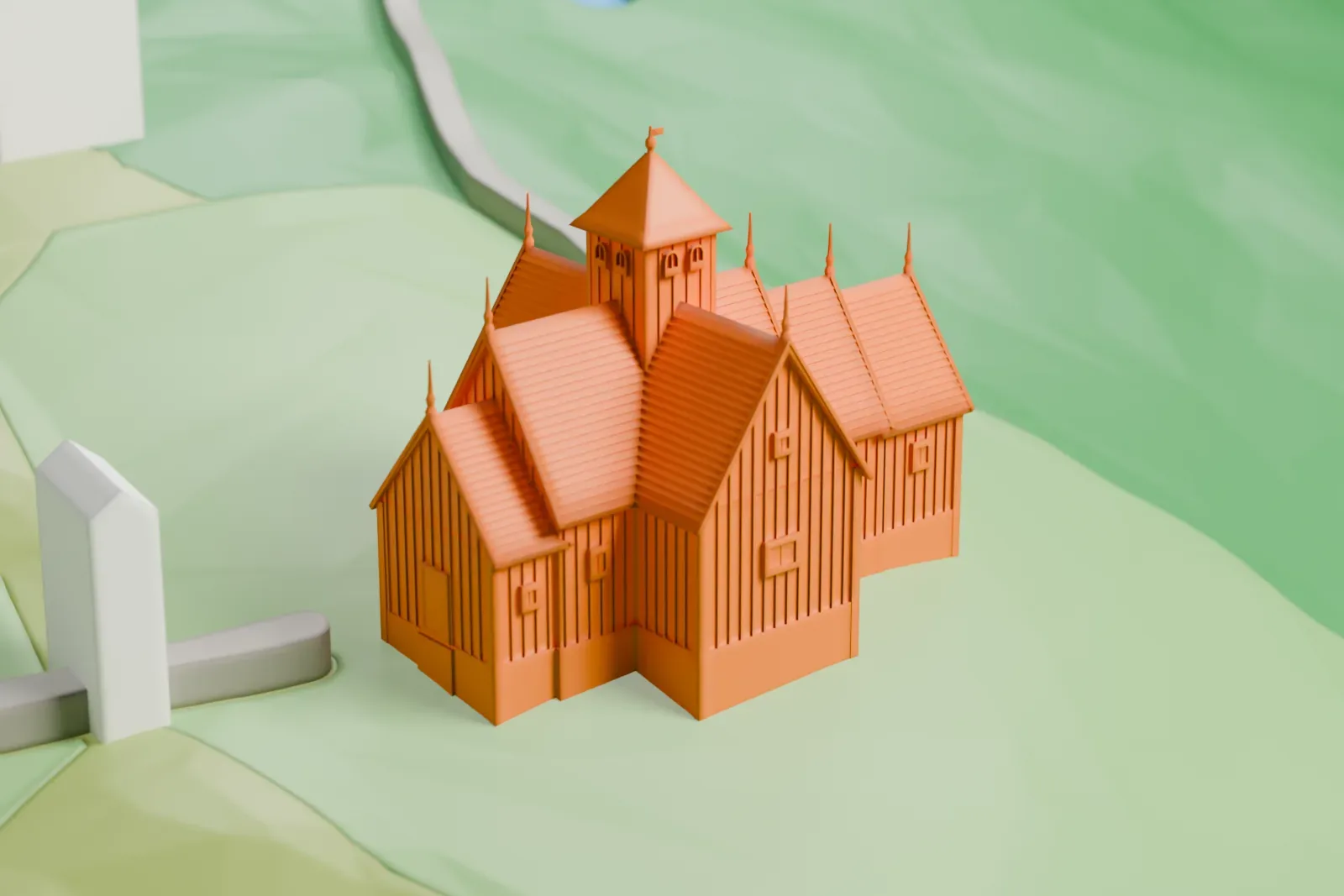
A free, printable 3D model of Uvdal Stave Church, with its cross-shaped roofs and ridge turret, set on a grassy slope with a few nearby buildings, generated from real map data in your browser.
-
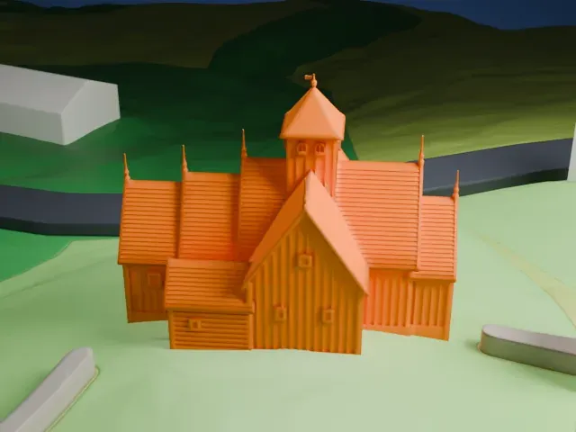 North
-
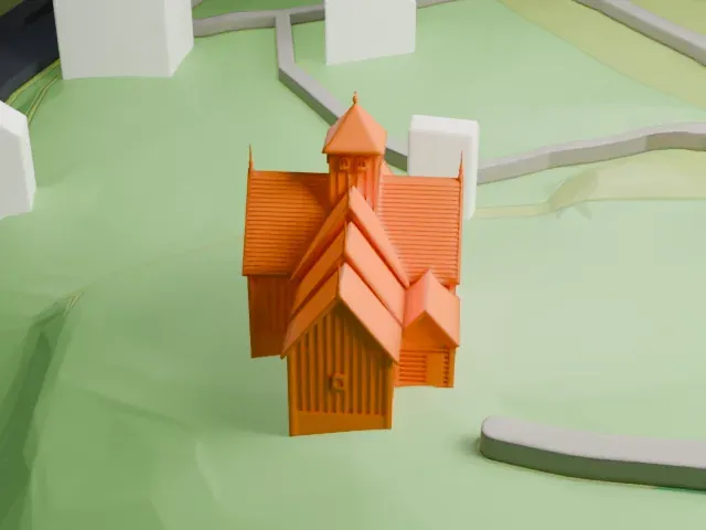 East
-
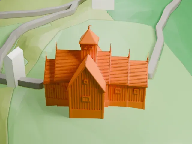 South
-
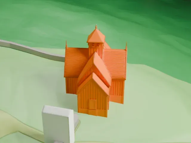 West
The model you print
Uvdal Stave Church in 3D
The landmark on its own, at its size on a 160 mm print. Print friendly thickens thin parts for a 0.4 mm nozzle; Full detail keeps every part.
- On a 160 mm print
- 4 mm
- Scale
- 1:3,750
4 mm tall on a 160 mm print
Make this print opens the generator on a 600 m square around the landmark. Buildings print at close to true scale, so the landmark grows with the print size.
- Ridge turret and small pinnacles
The pointed ridge turret and the small spikes along the roof are the thinnest parts. Print friendly adapts them to the print scale; Full detail keeps them as modeled for larger prints. Slow printing helps.
- Cross-shaped roof layers
Stacked roof levels and wall boards make fine horizontal detail. A layer height of 0.12-0.16 mm keeps them crisp.
- One piece with the ground
Uvdal Stave Church is joined to the ground in the exported file, and the four-side check found no floating parts, so nothing needs gluing.
- Pick the detail for your nozzle
In the Buildings settings, set Landmark detail to Print friendly to adapt thin parts and small details to the print scale. Full detail keeps every modeled feature, for larger prints or a finer nozzle.
- Colors
Buildings, roads, water and ground arrive as separate filament slots in the 3MF. Uvdal Stave Church takes the building color.
- File format
You get a 3MF for Bambu Studio, OrcaSlicer or PrusaSlicer. Any of them can save it as STL if you need one.
About Uvdal Stave Church
Uvdal Stave Church stands at Uvdal in the Numedal valley, in the Nore og Uvdal area of Buskerud, Norway. The church was first built just after the year 1168, a date known from tree-ring dating of ore-pine logs used in its construction. The logs were not fully dry when it went up. A dig in 1978 showed that it was built on the remains of an earlier church.
The church was enlarged several times. In the Middle Ages the nave was extended westward, the original apse was removed, the chancel was lengthened and a center column was added too. In 1684 the chancel was demolished and replaced by a wider one matching the width of the nave. In 1721-1723 the church was made cruciform, which required a new ridge turret, and in 1819 a vestry was built against the north wall of the chancel. Paneling covered the exterior walls in 1760.
In 1624 the nave received benches whose sides are richly decorated. Two frightening half-masks are clearly visible on poles in the chancel, and legend says they could trap demons. The church was retired from regular use in 1893 but is owned by Fortidsminneforeningen, and services are held there in the summer season.
About this model
Uvdal Stave Church is one of more than 6,500 landmark models in Mini Skyline. They are made with AI, and each one is checked in its real surroundings before release. Each model is written as code from public descriptions, plans, photographs and aerial views used only as references; no image or third-party model is copied into it. Everything around it is built from OpenStreetMap and Overture map data. Rights in the building itself, its name and any brands on it are not granted by Mini Skyline; clear them separately before you sell prints. If you would rather print the shape from map data, turn off Landmark models in the Buildings settings.
Mini Skyline is not affiliated with, or endorsed by, the owners of this building or its names and marks.
Keep exploring