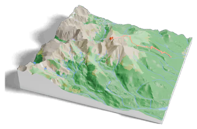
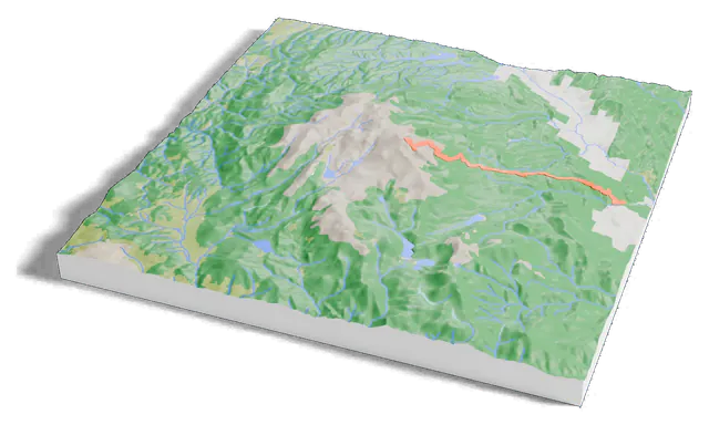
3D print Mount Hood and the Timberline Trail
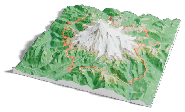
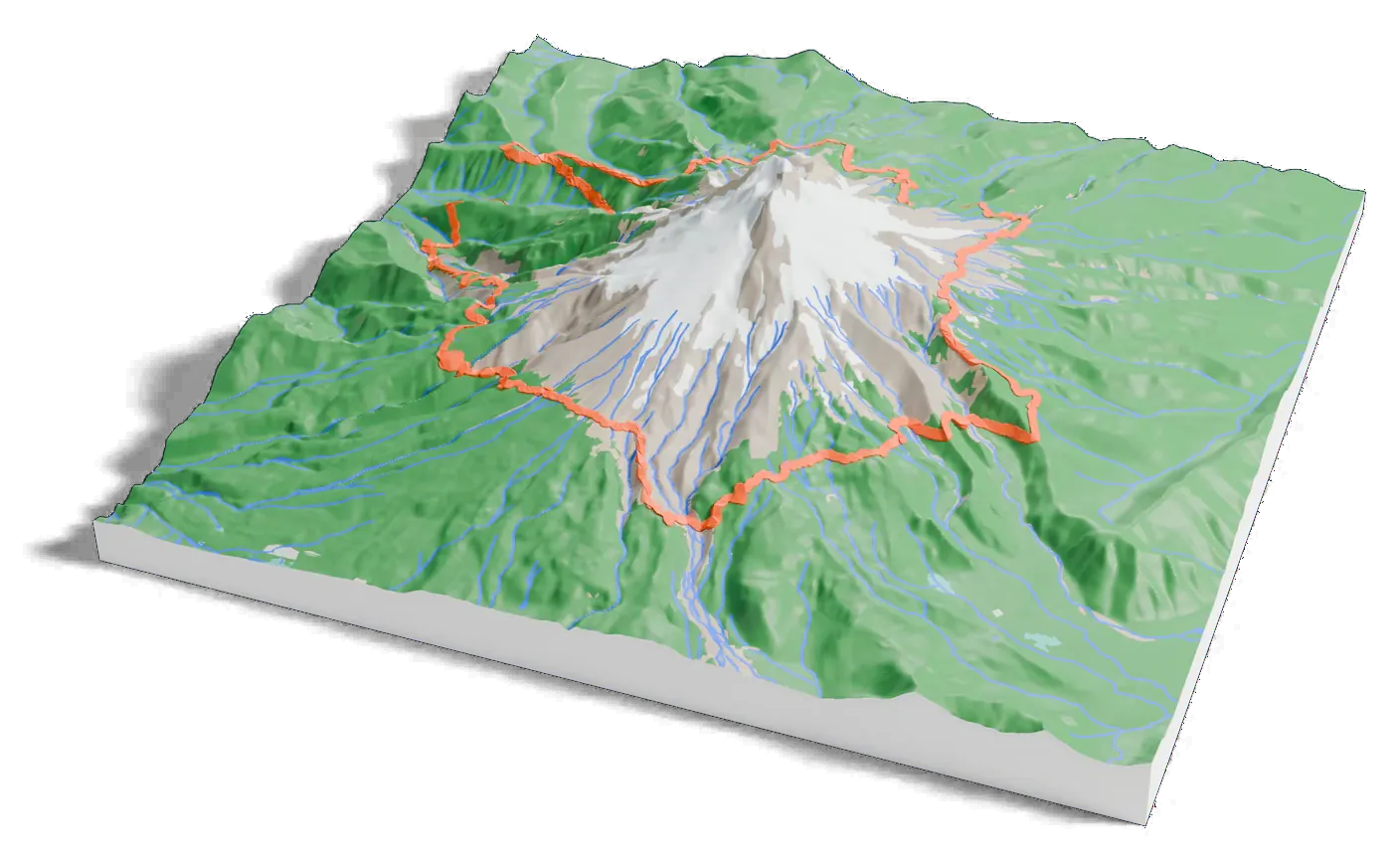
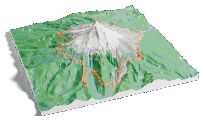
Mount Hood on one print, with the Timberline Trail raised in orange on the terrain. Open it in the generator, change the size or colors, and export a slicer-ready 3MF.
Timberline Trail
- Route
- A loop around the mountain
- Shared with the PCT
- 11 mi (18 km)
- Forest Service trail
- #600
- On the print
- 65 km, as mapped in OpenStreetMap
3,429 m of mountain, 38 mm on your shelf
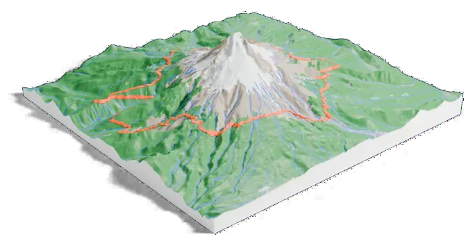
The print covers 16 by 16 km. On a 160 mm print the summit stands 38 mm above the valleys.
- Taller than life
The print opens with the Elevation multiplier at 1.5, so the mountain stands 1.5 times its true height and its shape reads clearly at this size. Set it to 1 for true scale.
- The trail
The Timberline Trail prints as a raised 1.2 mm orange line, drawn from its OpenStreetMap route. Give it its own filament color, or turn it off on the GPX tab.
- Colors
Forest, meadow, bare rock, ice and water each get their own color where the land has them, so a multi-color printer shows where the trees give way to rock.
About Mount Hood
Mount Hood is an active stratovolcano in the Cascade Range, about 50 miles (80 km) east-southeast of Portland. With its summit at 11,249 feet (3,429 m), it is the highest mountain in Oregon. It last erupted in 1865–66.
Its Timberline Lodge ski area offers the only year-round lift-served skiing in North America, and much of the mountain outside the ski areas is part of the Mount Hood Wilderness.
The Timberline Trail
The Timberline Trail circles Mount Hood, mostly through wilderness, passing near Timberline Lodge, Cloud Cap Inn and the Mount Hood Meadows ski area. It shares 11 miles (18 km) with the Pacific Crest Trail and runs above and below the tree line.
The print draws the whole loop from OpenStreetMap around the mountain.
Next to the others
How Mount Hood measures up
Common questions
Is the Mount Hood 3D print free?
Yes. The generator runs in your browser and exports a 3MF file you can open in any common slicer. There is no account or payment.
Is the Timberline Trail on the print?
Yes. Print this mountain adds it from its OpenStreetMap route (65 km as mapped) and raises it on the terrain. The footprint is 16 by 16 km, centered on the summit and wide enough for all of it.
Is the mountain printed at its true height?
It starts at 1.5 times its true height, about 38 mm of relief on a 160 mm print, because true scale looks flat at this size. Set the Elevation multiplier to 1 for true scale, or higher for a more dramatic model.
Can I get an STL instead of a 3MF?
The generator exports 3MF, which keeps each color as its own part. Any slicer can open it and save an STL if you need one.