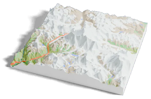
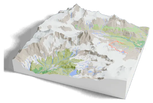
3D print Aoraki / Mount Cook and the Hooker Valley Track
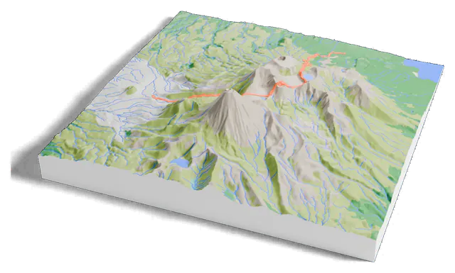
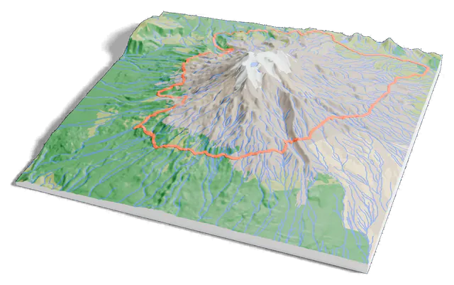
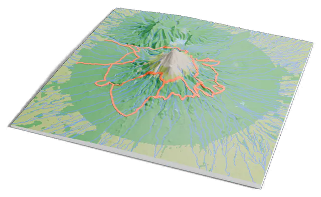
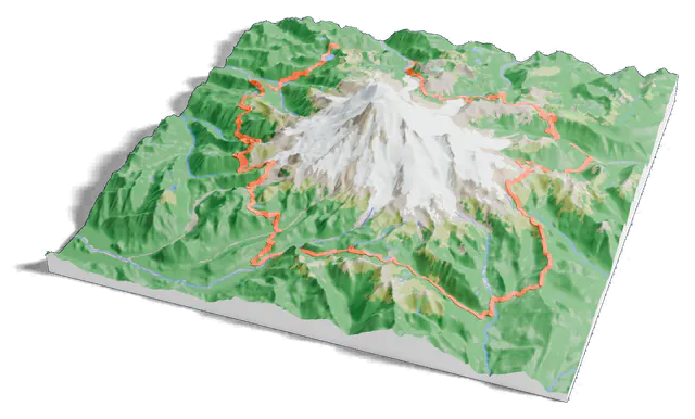
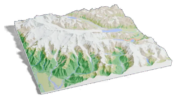
Aoraki / Mount Cook on one print, with the Hooker Valley Track raised in orange on the terrain. Open it in the generator, change the size or colors, and export a slicer-ready 3MF.
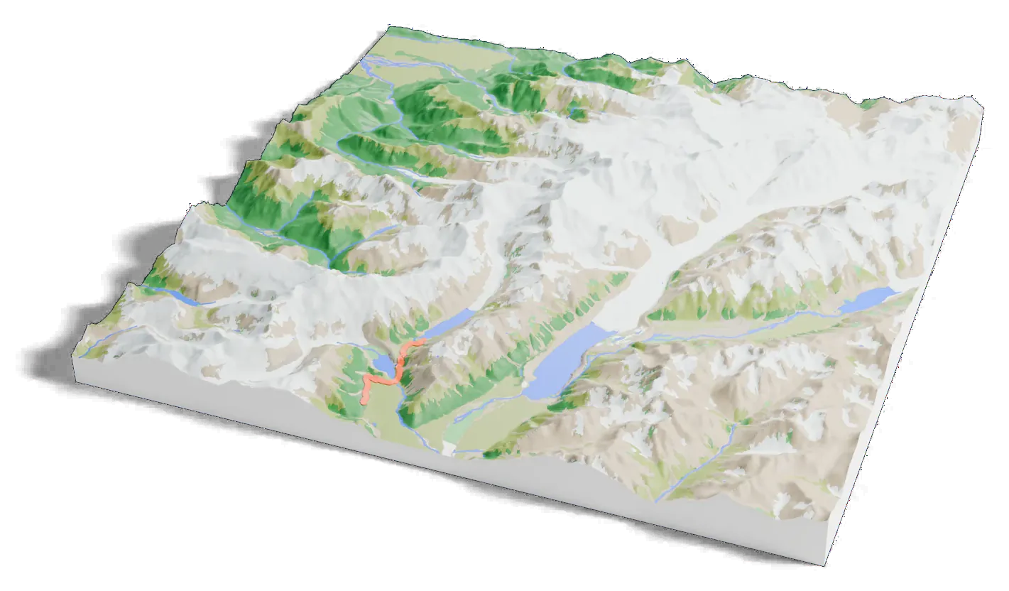
Hooker Valley Track
- Length
- 5 km (3.1 mi) one way
- Climb
- About 100 m (330 ft)
- Ends at
- Hooker Lake
- On the print
- 7.9 km, as mapped in OpenStreetMap
3,724 m of mountain, 17 mm on your shelf
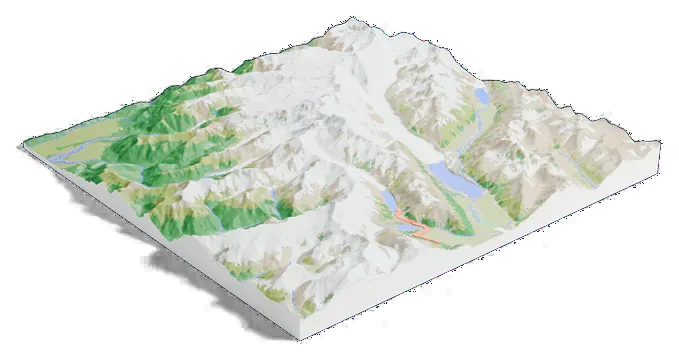
The print covers 34 by 34 km. On a 160 mm print the summit stands 17 mm above the valleys.
- True scale
The print opens at true scale: the mountain is as tall as it really is for the print size. Raise the Elevation multiplier for a more dramatic model.
- The trail
The Hooker Valley Track prints as a raised 1.2 mm orange line, drawn from its OpenStreetMap route. Give it its own filament color, or turn it off on the GPX tab.
- Colors
Forest, meadow, bare rock, ice and water each get their own color where the land has them, so a multi-color printer shows where the trees give way to rock.
About Aoraki / Mount Cook
Aoraki / Mount Cook is the highest mountain in New Zealand, listed since 2014 at 3,724 metres (12,218 ft). It stands in the Southern Alps, the range that runs the length of the South Island.
It has three summits, the Low, Middle and High Peaks, with the Tasman Glacier to the east and the Hooker Glacier to the southwest.
The Hooker Valley Track
The Hooker Valley Track is the most popular short walk in Aoraki / Mount Cook National Park: 5 km (3.1 mi) with only about 100 m (330 ft) of climbing, up to Hooker Lake, where icebergs often float.
Its lookout is the closest any walking track comes to the mountain. The print draws the track from OpenStreetMap up the valley toward the peak.
Next to the others
How Aoraki / Mount Cook measures up
Common questions
Is the Aoraki / Mount Cook 3D print free?
Yes. The generator runs in your browser and exports a 3MF file you can open in any common slicer. There is no account or payment.
Is the Hooker Valley Track on the print?
Yes. Print this mountain adds it from its OpenStreetMap route (7.9 km as mapped) and raises it on the terrain. The footprint is 34 by 34 km, centered on the summit and wide enough for all of it.
Is the mountain printed at its true height?
Yes, it starts at true scale, about 17 mm of relief on a 160 mm print. Raise the Elevation multiplier for a more dramatic model.
Can I get an STL instead of a 3MF?
The generator exports 3MF, which keeps each color as its own part. Any slicer can open it and save an STL if you need one.