3D print the Fillmore East
A free, printable model of the Fillmore East's narrow decorated front, squeezed into a block of East Village buildings, generated from real map data in your browser.
-
 North
-
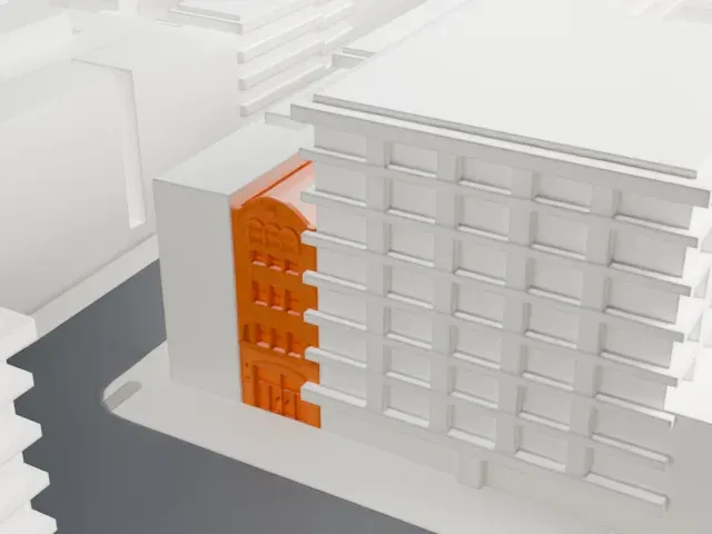 East
-
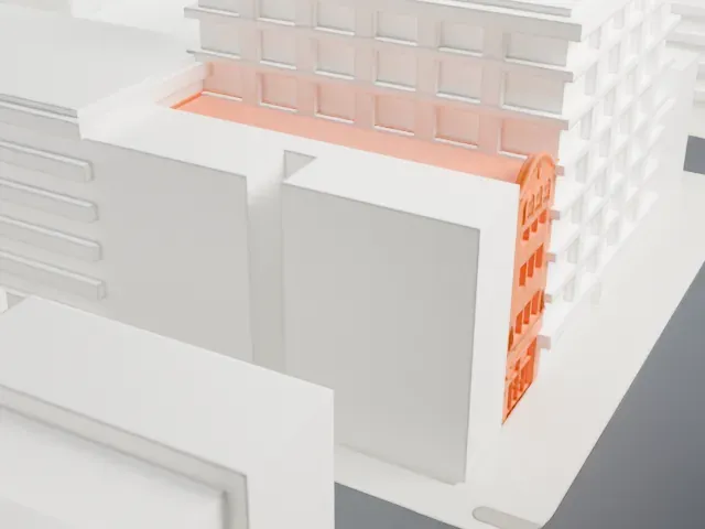 South
-
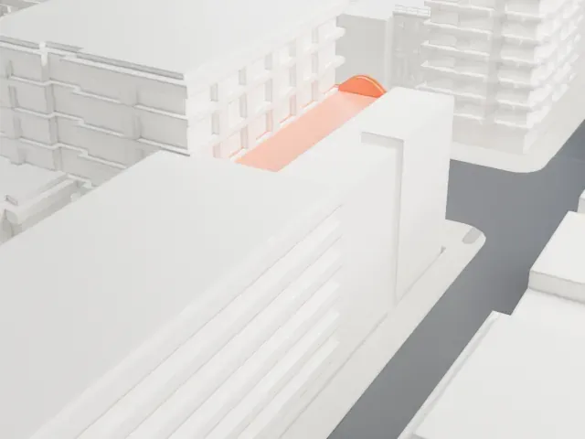 West
The model you print
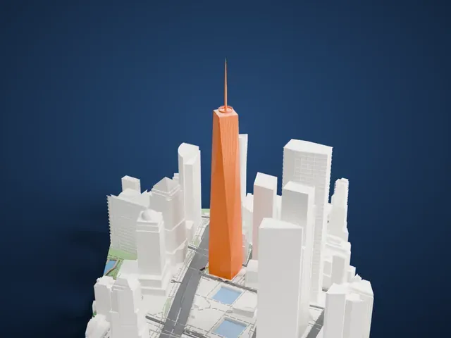
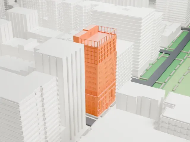
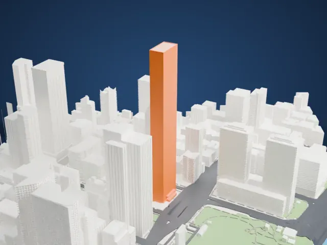
Fillmore East in 3D
The landmark on its own, at its size on a 160 mm print. Print friendly thickens thin parts for a 0.4 mm nozzle; Full detail keeps every part.
- On a 160 mm print
- 6 mm
- Scale
- 1:3,750
6 mm tall on a 160 mm print
Make this print opens the generator on a 600 m square around the landmark. Buildings print at close to true scale, so the landmark grows with the print size.
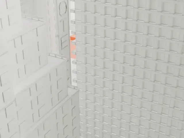
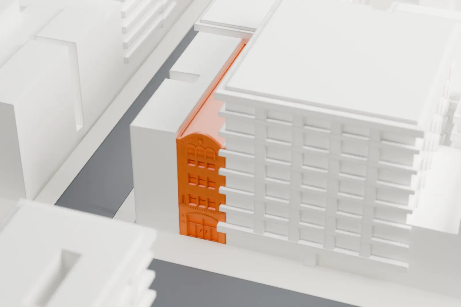
- A slim facade between big blocks
Only a narrow decorated front is modeled, hemmed in by taller neighbors, so it prints as a thin strip. A larger print size helps its ornament survive; Print friendly adapts the smallest details.
- One piece with the ground
The Fillmore East is joined to the ground in the exported file, and the four-side check found no floating parts, so nothing needs gluing.
- Pick the detail for your nozzle
In the Buildings settings, set Landmark detail to Print friendly to adapt thin parts and small details to the print scale. Full detail keeps every modeled feature, for larger prints or a finer nozzle.
- Colors
Buildings, roads, water and ground arrive as separate filament slots in the 3MF. The Fillmore East takes the building color.
- File format
You get a 3MF for Bambu Studio, OrcaSlicer or PrusaSlicer. Any of them can save it as STL if you need one.
About the Fillmore East
The Fillmore East stood on Second Avenue close to 6th Street, in Manhattan's East Village, and hosted rock concerts. It was active from March 8, 1968, until June 27, 1971, and belonged to Bill Graham, then a top rock promoter. It served as the East Coast partner of his San Francisco venue, the Fillmore Auditorium, and of that hall's successor, the Fillmore West.
The theater at 105 Second Avenue began as a Yiddish theater, constructed in 1925–1926 to a design by Harrison Wiseman with Medieval Revival styling. It was called the Commodore Theater, later became the Loews Commodore movie theater, and afterward the Village Theatre. When Graham took it over in 1968 it was unused and in disrepair. Despite a deceptively small marquee and facade, the theater held almost 2,700 people.
The venue quickly earned the nickname "The Church of Rock and Roll", and gave concerts several nights a week. Jimi Hendrix's record Band of Gypsys was captured live there on New Year's Day 1970. The Allman Brothers Band made its breakthrough double album, At Fillmore East, there on March 12 and 13, 1971. The hall's excellent acoustics and attentive audiences made it a favorite place to record live albums.
About this model
The Fillmore East is one of more than 6,500 landmark models in Mini Skyline. They are made with AI, and each one is checked in its real surroundings before release. Each model is written as code from public descriptions, plans, photographs and aerial views used only as references; no image or third-party model is copied into it. Everything around it is built from OpenStreetMap and Overture map data. Rights in the building itself, its name and any brands on it are not granted by Mini Skyline; clear them separately before you sell prints. If you would rather print the shape from map data, turn off Landmark models in the Buildings settings.
Outside the United States this design may still be protected; check the rules where you sell.
Mini Skyline is not affiliated with, or endorsed by, the owners of this building or its names and marks.
Same skyline