3D print San Antonio landmarks
Free printable models of San Antonio landmarks, made from real map data in your browser, in a city that grew from a Spanish mission and colonial outpost founded in 1718.
4 landmark models · 4 with a print guide · United States
Landmarks with a print guide
-
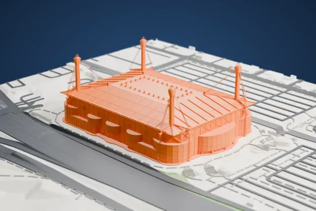
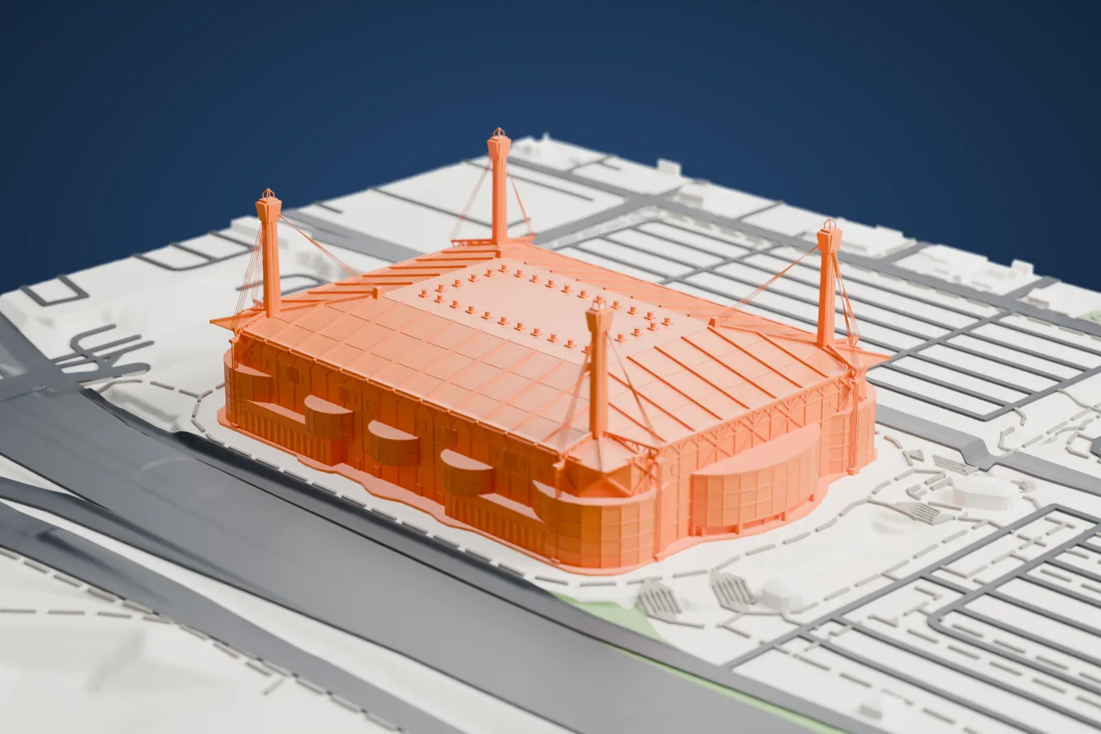
Alamodome
Southeastern edge of downtown, San Antonio, Texas, United States
26 mm tall on a 160 mm print
-
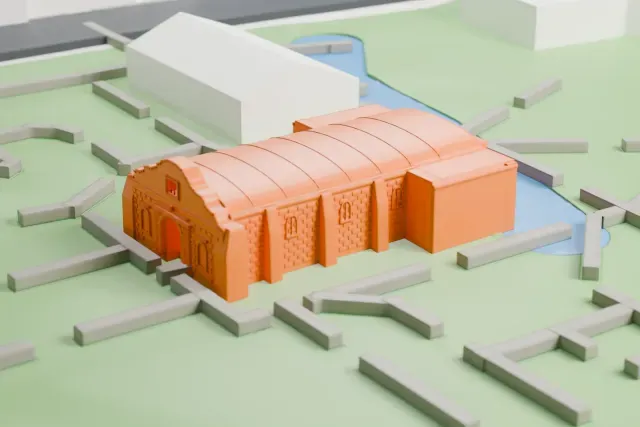
The Alamo
Alamo Plaza Historic District, San Antonio, Texas, United States
3 mm tall on a 160 mm print
-
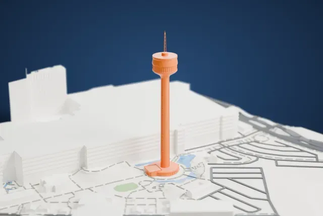
Tower of the Americas
Hemisfair, San Antonio, United States
61 mm tall on a 160 mm print
-
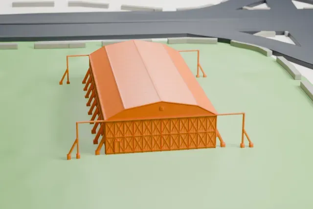
Hangar 9, Brooks Air Force Base
Brooks City-Base, San Antonio, Texas, United States
3 mm tall on a 160 mm print
About San Antonio
San Antonio sits in the southern part of Texas and serves as Bexar County's seat. It ranks seventh among U.S. cities by population and second in Texas, behind Houston, with 1.43 million residents at the 2020 census. A Spanish expedition named the area for Saint Anthony of Padua in 1691. A mission and colonial outpost followed in 1718, and in 1731 it became the first civil settlement in present-day Texas to be chartered. It belonged to the Spanish Empire and then the Mexican Republic, and joined the United States in 1846, once the Republic of Texas was annexed. Austin lies about 80 miles (130 km) away along the I-35 corridor.
San Antonio holds five 18th-century Spanish frontier missions, among them the Alamo, and they were collectively designated UNESCO World Heritage sites in 2015. Construction began in 1718, when Father Antonio de Olivares, aided by the Payaya and Pastia people, built Mission San Antonio de Valero, the future Alamo, along with the Presidio San Antonio de Bexar, a bridge joining the two, plus the Acequia Madre de Valero. The Battle of the Alamo ran between February 23 and March 6, 1836. Major attractions include the River Walk and the Tower of the Americas.
About these models
The 4 models on this page are among more than 2,300 landmark models in Mini Skyline. They are made with AI, and each one is checked from four sides in its real surroundings before release. Everything around them is built from OpenStreetMap and Overture map data. If you would rather print the shapes from map data, turn off Landmark models in the Buildings settings.
Want the whole skyline? Make a city print
Common questions
Are these San Antonio landmark models free?
Yes. All 4 models on this page are free. Generation runs in your browser, with no account and nothing behind a paywall.
Can I download San Antonio landmark STL files?
Mini Skyline builds each file for you in your browser and exports 3MF, which every major slicer opens. If you need an STL, open the 3MF in your slicer and export it from there.
How tall do the San Antonio landmarks print?
On the default 160 mm print they stand between about 3 and 61 mm tall. Each landmark grows with the print size, and Make this print opens the generator with its area already selected. For a model larger than your printer bed, Project Mode splits the area into tiles.