3D print Washington, D.C. landmarks
Free printable models of Washington, D.C. landmarks, made from real map data in your browser, in a planned capital whose skyline is kept low by federal law.
12 landmark models · 12 with a print guide · United States
Landmarks with a print guide
-
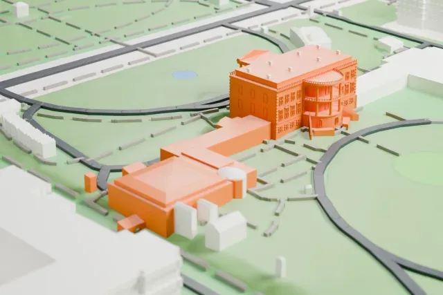
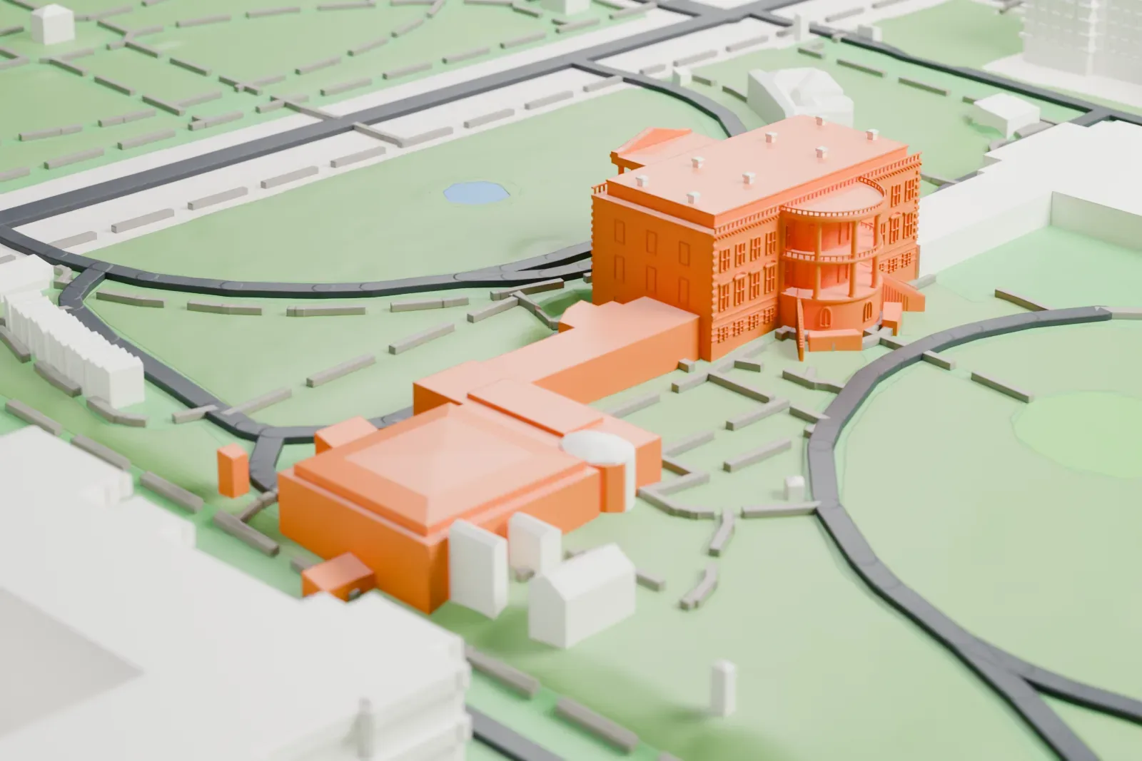
White House
1600 Pennsylvania Avenue NW, Washington, D.C., United States
7 mm tall on a 160 mm print
-
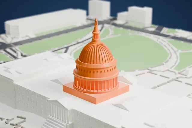
United States Capitol
Capitol Hill, east end of the National Mall, Washington, D.C., United States
25 mm tall on a 160 mm print
-
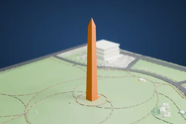
Washington Monument
National Mall, Washington, D.C., United States
45 mm tall on a 160 mm print
-
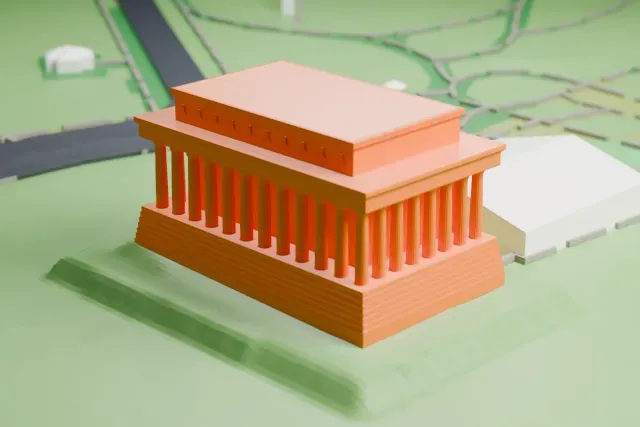
Lincoln Memorial
Western end of the National Mall, Washington, D.C., United States
8 mm tall on a 160 mm print
-
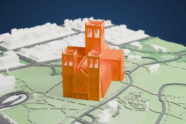
Washington National Cathedral
Massachusetts and Wisconsin Avenues, Washington, D.C., United States
26 mm tall on a 160 mm print
-
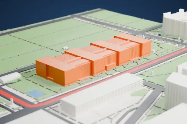
National Air and Space Museum
National Mall near L'Enfant Plaza, Washington, D.C., United States
7 mm tall on a 160 mm print
-
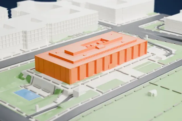
National Museum of American History
14th Street and Constitution Avenue NW, Washington, D.C., United States
8 mm tall on a 160 mm print
-
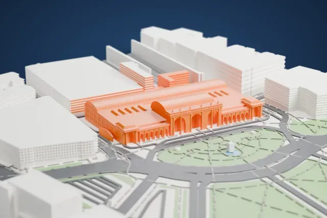
Washington Union Station
Washington, D.C., United States
10 mm tall on a 160 mm print
-
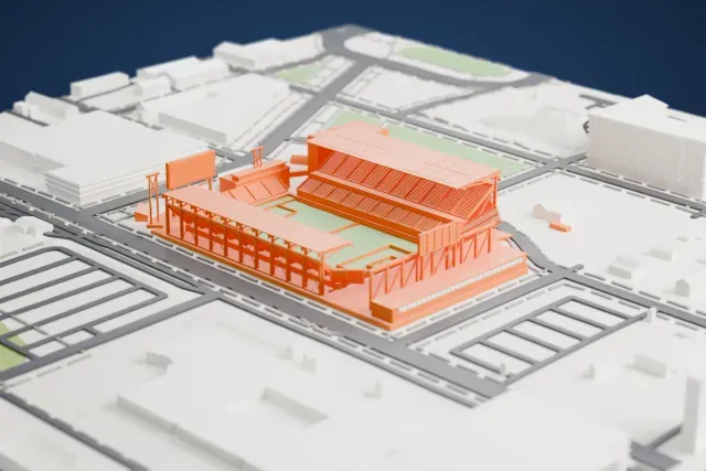
Audi Field
Buzzard Point, Washington, D.C., United States
10 mm tall on a 160 mm print
-
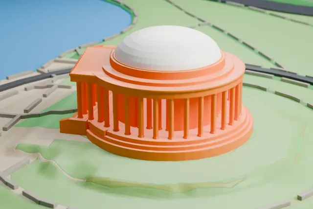
Jefferson Memorial
West Potomac Park, Washington, D.C., United States
9 mm tall on a 160 mm print
-
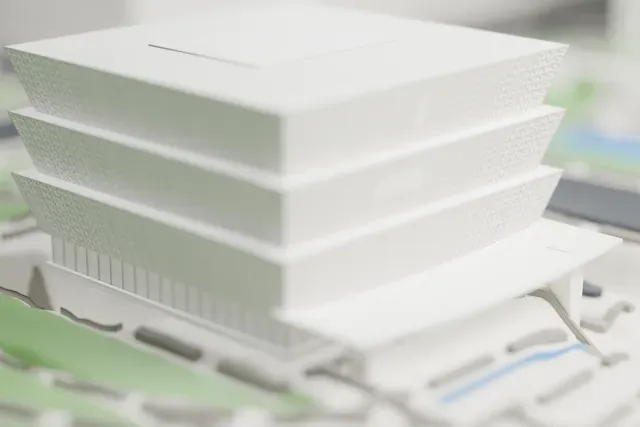
National Museum of African American History and Culture
National Mall, Washington, D.C., United States
12 mm tall on a 160 mm print
-
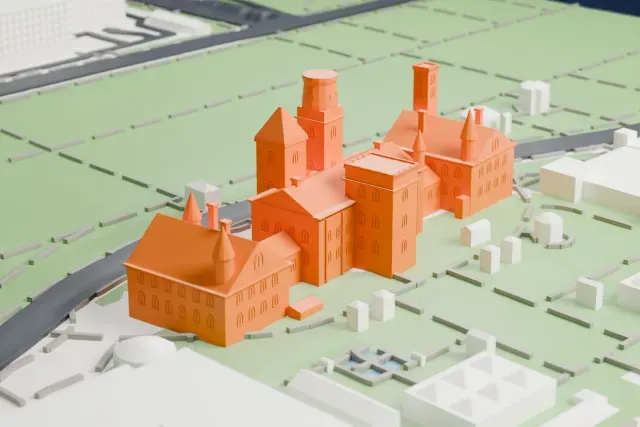
Smithsonian Institution Building
National Mall, Washington, D.C., United States
12 mm tall on a 160 mm print
About Washington, D.C.
The District of Columbia, usually called Washington, D.C., is the national capital of the United States and the country's only federal district. It sits on the northeast bank of the Potomac, facing Virginia, with Maryland to the north, east and south. The Residence Act of July 16, 1790 approved a capital district along the Potomac, and it is regarded as the city's founding date. The 2020 census counted 689,545 residents. As the seat of the federal government, the city houses multiple federal departments and agencies, and it hosts 177 foreign embassies.
Washington was a planned city. In 1791, George Washington commissioned the French-born engineer and artist Pierre Charles L'Enfant to design it, with broad avenues and room for open space. The McMillan Plan, finalized in 1901, called for landscaping around the Capitol and along the National Mall, and for clearing slums. The Height of Buildings Act of 1910 ties allowed height to the adjacent street's width, with maxima of 40 m (130 feet) on commercial streets and 27 m (90 feet) on residential ones. Many buildings along the National Mall draw on classical Roman and Greek architecture, and the 169 m (555 feet) Washington Monument is the district's tallest structure.
About these models
The 12 models on this page are among more than 2,300 landmark models in Mini Skyline. They are made with AI, and each one is checked from four sides in its real surroundings before release. Everything around them is built from OpenStreetMap and Overture map data. If you would rather print the shapes from map data, turn off Landmark models in the Buildings settings.
Want the whole skyline? Make a city print
Common questions
Are these Washington, D.C. landmark models free?
Yes. All 12 models on this page are free. Generation runs in your browser, with no account and nothing behind a paywall.
Can I download Washington, D.C. landmark STL files?
Mini Skyline builds each file for you in your browser and exports 3MF, which every major slicer opens. If you need an STL, open the 3MF in your slicer and export it from there.
How tall do the Washington, D.C. landmarks print?
On the default 160 mm print they stand between about 7 and 45 mm tall. Each landmark grows with the print size, and Make this print opens the generator with its area already selected. For a model larger than your printer bed, Project Mode splits the area into tiles.