3D print Columbia, South Carolina landmarks
Free printable models of Columbia landmarks, made from real map data in your browser, in a South Carolina capital founded in 1786 as one of the earliest planned cities in the country.
2 landmark models · 1 with a print guide · United States
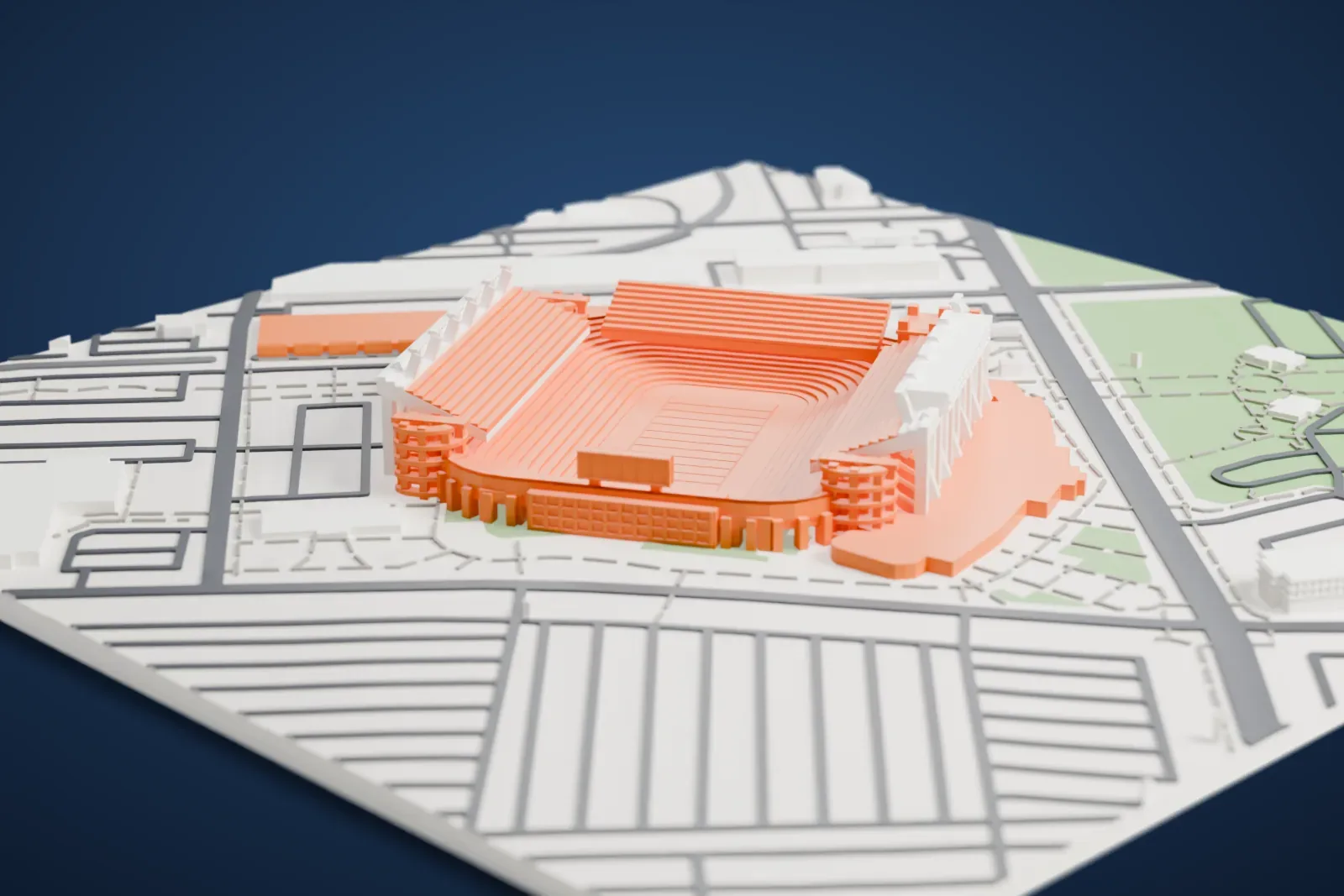
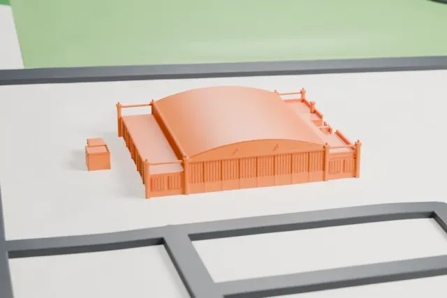
Landmarks with a print guide
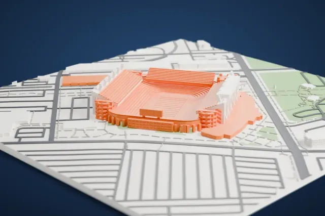
More landmark models in Columbia, South Carolina
About Columbia, South Carolina
Columbia, the capital of South Carolina, ranks second in the state by population, at an estimated 147,035 in 2025. Richland County's seat, it also reaches into Lexington and Kershaw counties. The city lies near the center of the state, at the fall line, where the Broad and Saluda rivers meet to form the Congaree River. The name Columbia was a poetic stand-in for the United States, and the short form "Cola" gave rise to the nickname "Soda City". The University of South Carolina is here, as is Fort Jackson, the Army's biggest basic combat training installation.
The surveyor John Guignard planned Columbia as a grid two miles on a side, with 400 blocks and unusually wide streets, five years ahead of L'Enfant's Washington plan. Assembly and Senate streets were each 46 m (150 ft) wide, and the other streets were 30 m (100 ft). Each block was split into half-acre lots for sale to residents, and commissioners kept prominent sites for public buildings such as the State House, on which work began in 1786. The Santee Canal, finished in 1800, linked the city to Charleston by inland water. A fire in 1865 destroyed much of the city, and rebuilding took place during Reconstruction.
About these models
The 2 models on this page are among more than 2,300 landmark models in Mini Skyline. They are made with AI, and each one is checked from four sides in its real surroundings before release. Everything around them is built from OpenStreetMap and Overture map data. If you would rather print the shapes from map data, turn off Landmark models in the Buildings settings.
Want the whole skyline? Make a city print
Common questions
Are these Columbia, South Carolina landmark models free?
Yes. All 2 models on this page are free. Generation runs in your browser, with no account and nothing behind a paywall.
Can I download Columbia, South Carolina landmark STL files?
Mini Skyline builds each file for you in your browser and exports 3MF, which every major slicer opens. If you need an STL, open the 3MF in your slicer and export it from there.
How tall do the Columbia, South Carolina landmarks print?
On the default 160 mm print they stand between about 2 and 10 mm tall. Each landmark grows with the print size, and Make this print opens the generator with its area already selected. For a model larger than your printer bed, Project Mode splits the area into tiles.