3D print Scottsdale landmarks
Free printable models of Scottsdale landmarks, made from real map data in your browser, in an Arizona city that calls itself the West's most western town.
5 landmark models · 4 with a print guide · United States
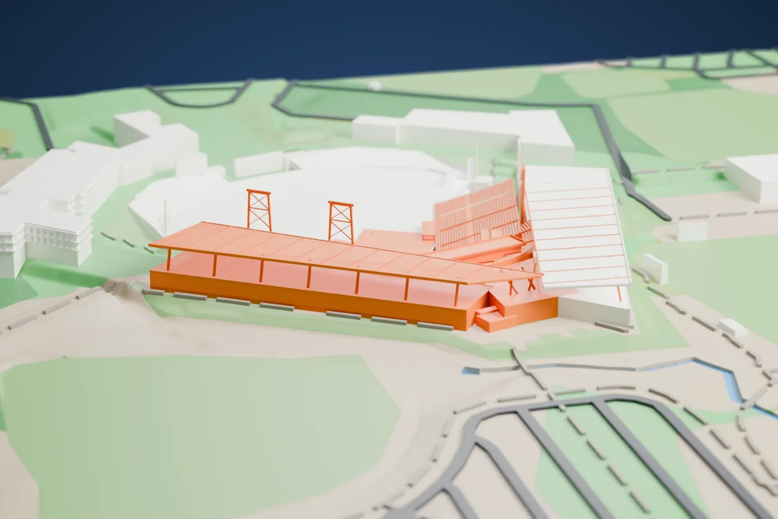
Landmarks with a print guide
-
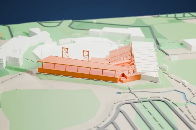
Salt River Fields at Talking Stick
Salt River Pima–Maricopa Indian Community, near Scottsdale, Arizona, United States
10 mm tall on a 160 mm print
-
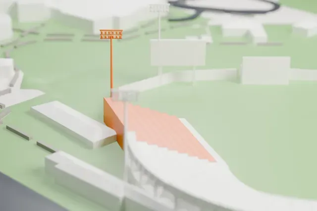
Scottsdale Stadium
Scottsdale, Arizona, United States
9 mm tall on a 160 mm print
-
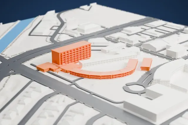
Hotel Valley Ho
Scottsdale, Arizona, United States
7 mm tall on a 160 mm print
-
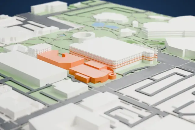
Scottsdale Museum of Contemporary Art
Old Town, downtown Scottsdale, Arizona, United States
2 mm tall on a 160 mm print
More landmark models in Scottsdale
About Scottsdale
Scottsdale lies in eastern Maricopa County, Arizona, within the Phoenix metropolitan area. The place took its name in 1894 from its founder Winfield Scott, a former U.S. Army chaplain, and was incorporated in 1951 with 2,000 residents. The 2020 census counted 241,361 residents, up from 217,385 in 2010. The city stretches 50 km (31 miles) from north to south and has an area of 478 km² (184.5 square miles). Phoenix borders it on the west, Tonto National Forest on the north, the McDowell Mountains on the east and the Salt River on the south.
Scottsdale splits loosely into four sections: South Scottsdale, Old Town, Central Scottsdale (also called the Shea Corridor) and North Scottsdale. Old Town offers old-fashioned stores, galleries, restaurants and nightlife, and is a major center for art in metro Phoenix. Houses in the Shea Corridor were generally built during the 1970s, and a large stretch of Scottsdale Road there is called the Resort Corridor for its many resorts. South Scottsdale is home to SkySong, a research center for Arizona State University. North Scottsdale was historically the least built up part of the city.
About these models
The 5 models on this page are among more than 2,300 landmark models in Mini Skyline. They are made with AI, and each one is checked from four sides in its real surroundings before release. Everything around them is built from OpenStreetMap and Overture map data. If you would rather print the shapes from map data, turn off Landmark models in the Buildings settings.
Want the whole skyline? Make a city print
Common questions
Are these Scottsdale landmark models free?
Yes. All 5 models on this page are free. Generation runs in your browser, with no account and nothing behind a paywall.
Can I download Scottsdale landmark STL files?
Mini Skyline builds each file for you in your browser and exports 3MF, which every major slicer opens. If you need an STL, open the 3MF in your slicer and export it from there.
How tall do the Scottsdale landmarks print?
On the default 160 mm print they stand between about 2 and 10 mm tall. Each landmark grows with the print size, and Make this print opens the generator with its area already selected. For a model larger than your printer bed, Project Mode splits the area into tiles.