3D print Phoenix landmarks
Free printable models of Phoenix landmarks, made from real map data in your browser, in the Arizona capital that began in 1867 as an agricultural community.
15 landmark models · 14 with a print guide · United States
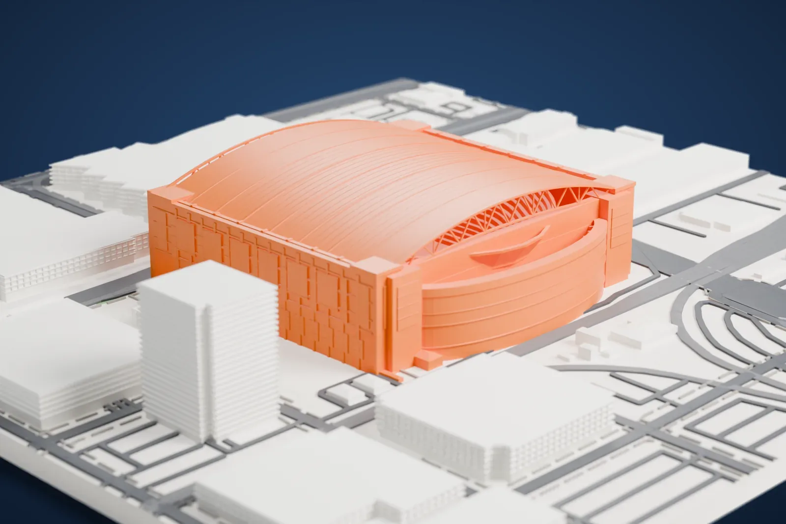
Landmarks with a print guide
-
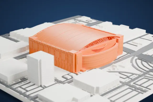
Chase Field
Downtown Phoenix, Arizona, United States
21 mm tall on a 160 mm print
-
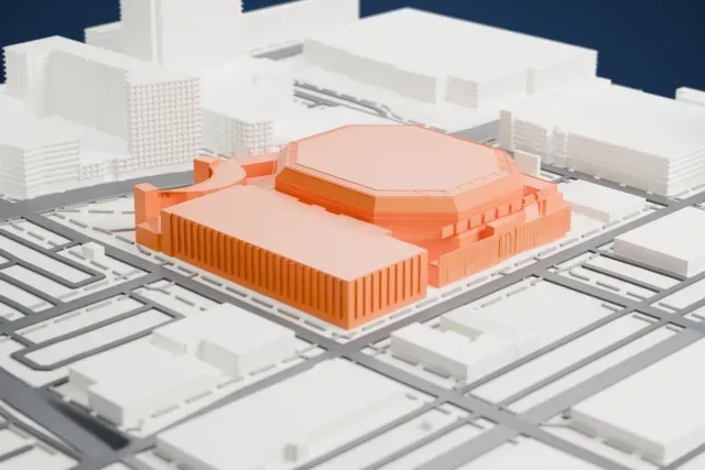
Mortgage Matchup Center
Phoenix, Arizona, United States
9 mm tall on a 160 mm print
-
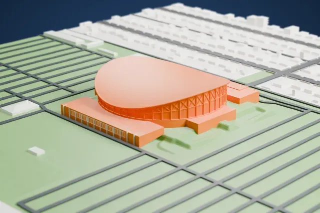
Arizona Veterans Memorial Coliseum
Arizona State Fairgrounds, Phoenix, United States
10 mm tall on a 160 mm print
-
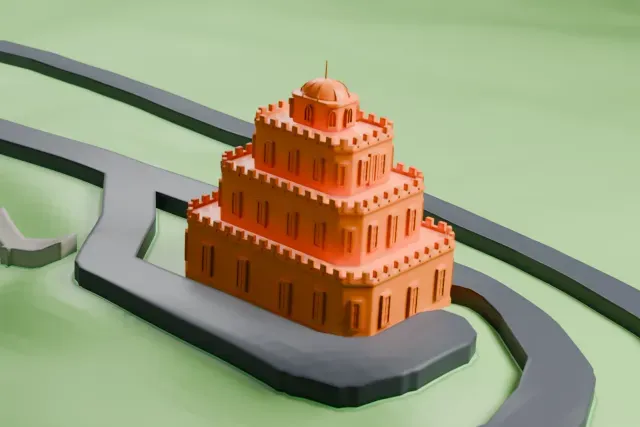
Tovrea Castle
5041 East Van Buren Street, Phoenix, Arizona, United States
4 mm tall on a 160 mm print
-
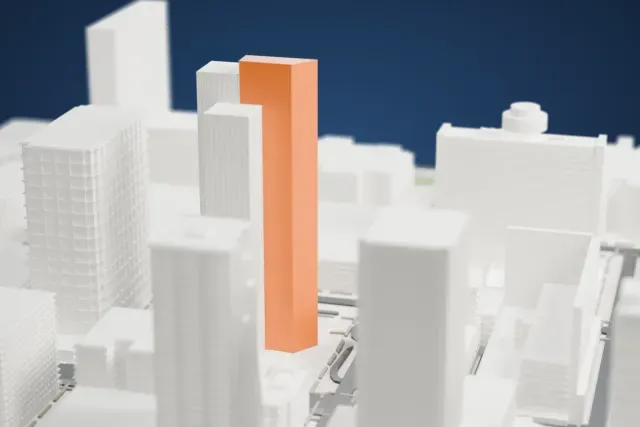
Chase Tower
201 North Central Avenue, Phoenix, United States
40 mm tall on a 160 mm print
-
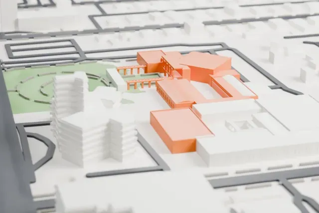
Heard Museum
Phoenix, Arizona, United States
3 mm tall on a 160 mm print
-
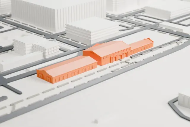
Phoenix Union Station
401 South 4th Avenue, Phoenix, Arizona, United States
4 mm tall on a 160 mm print
-
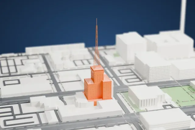
Westward Ho
Phoenix, Arizona, United States
40 mm tall on a 160 mm print
-
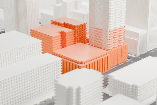
Hotel San Carlos
Downtown Phoenix, Arizona, United States
13 mm tall on a 160 mm print
-
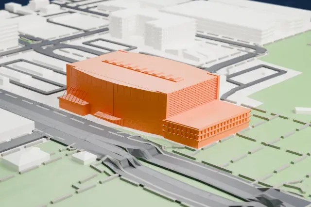
Burton Barr Central Library
Phoenix, Arizona, United States
8 mm tall on a 160 mm print
-
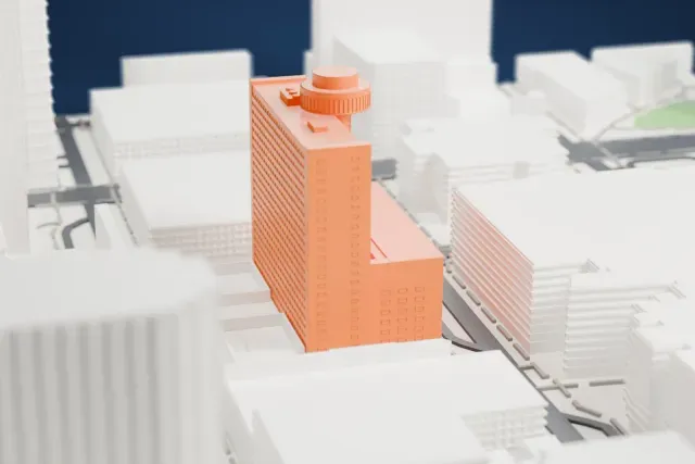
Hyatt Regency Phoenix
Downtown Phoenix, Arizona, United States
26 mm tall on a 160 mm print
-
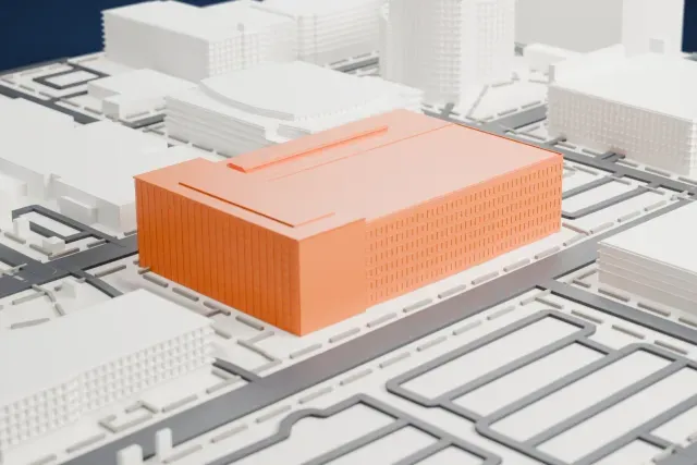
Sandra Day O'Connor United States Courthouse
401 West Washington Street, Phoenix, Arizona, United States
9 mm tall on a 160 mm print
-
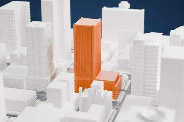
U.S. Bank Center
Phoenix, Arizona, United States
33 mm tall on a 160 mm print
-
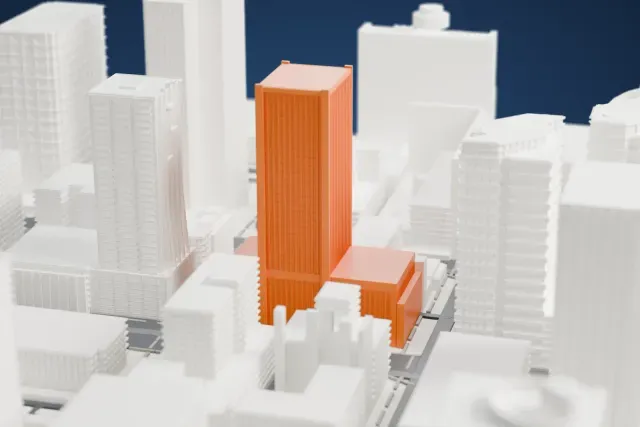
44 Monroe
Monroe Street and First Avenue, Downtown Phoenix, Arizona, United States
31 mm tall on a 160 mm print
More landmark models in Phoenix
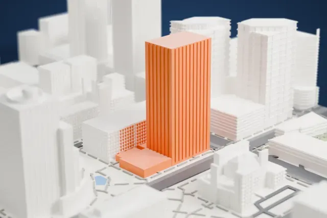
About Phoenix
Phoenix is Arizona's capital and most populous city, and over 1.6 million people lived there at the 2020 census. That made it the fifth-largest U.S. city by population and the most populous state capital. It is the seat of Maricopa County and sits in the Salt River Valley, and it covers 1,341 square kilometers, which makes it the largest city in Arizona by area. The city lies in the northeastern part of the Sonoran Desert. It began in 1867 as an agricultural community close to where the Salt and Gila rivers join, incorporated in 1881, and in 1889 it became capital of the Arizona Territory.
Phoenix has a distinctive architectural tradition. In 1937 Frank Lloyd Wright moved to the city and built Taliesin West, his winter home, along with the main campus of the school of architecture that bears his name. Studios of architects such as Paolo Soleri, who created Arcosanti, embrace the desert climate and take an unconventional approach to design. Ralph Haver's firm designed buildings throughout the valley, including his trademark "Haver Home" tract houses. The downtown core follows a grid laid out in 1870, when a new townsite was chosen three miles west of the first settlement. The Hohokam had earlier dug irrigation canals totaling roughly 135 miles (217 kilometers).
About these models
The 15 models on this page are among more than 2,300 landmark models in Mini Skyline. They are made with AI, and each one is checked from four sides in its real surroundings before release. Everything around them is built from OpenStreetMap and Overture map data. If you would rather print the shapes from map data, turn off Landmark models in the Buildings settings.
Want the whole skyline? Make a city print
Common questions
Are these Phoenix landmark models free?
Yes. All 15 models on this page are free. Generation runs in your browser, with no account and nothing behind a paywall.
Can I download Phoenix landmark STL files?
Mini Skyline builds each file for you in your browser and exports 3MF, which every major slicer opens. If you need an STL, open the 3MF in your slicer and export it from there.
How tall do the Phoenix landmarks print?
On the default 160 mm print they stand between about 3 and 40 mm tall. Each landmark grows with the print size, and Make this print opens the generator with its area already selected. For a model larger than your printer bed, Project Mode splits the area into tiles.